
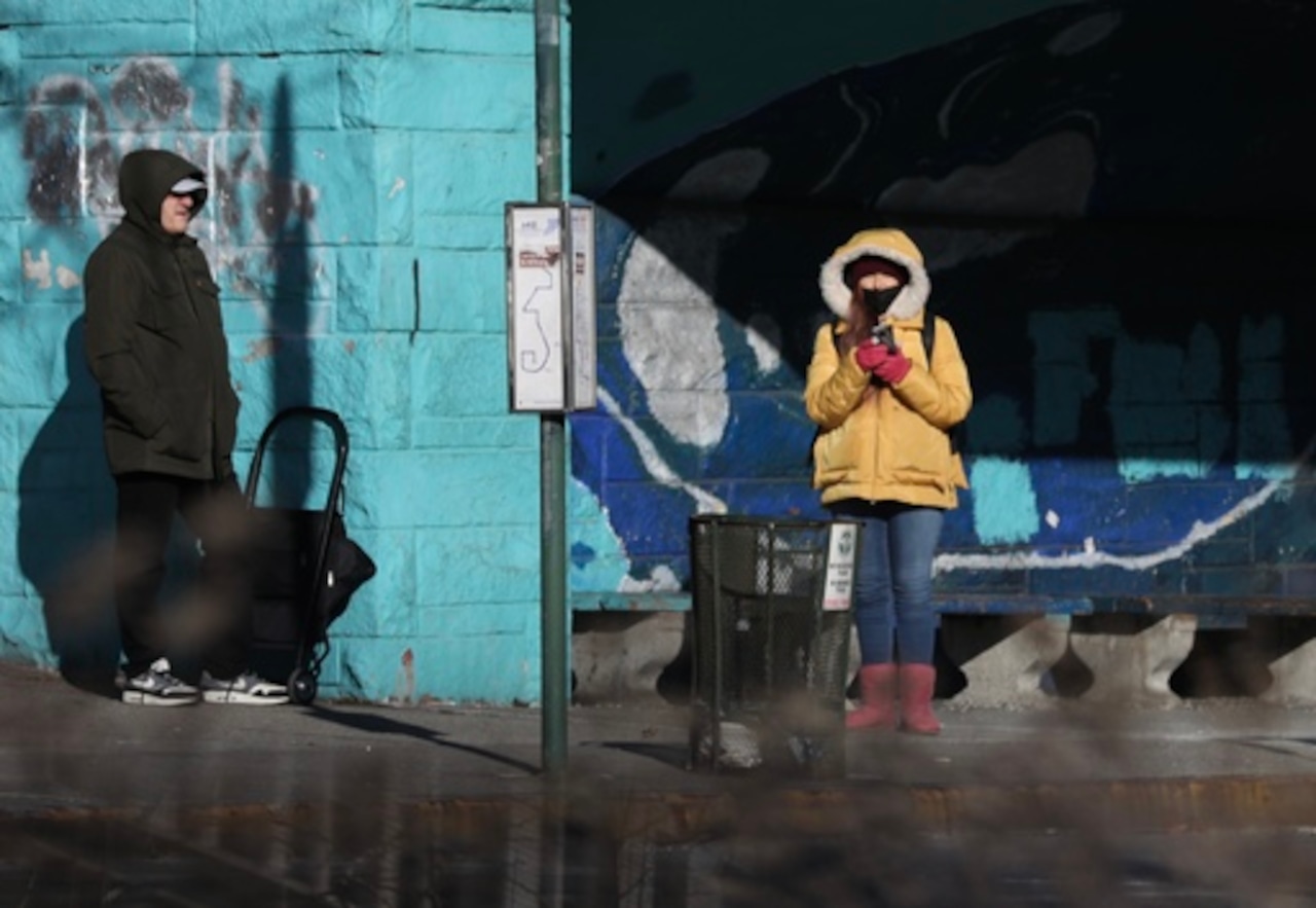
STATEN ISLAND, N.Y. — New York residents will want to prepare for some cold, December-like temperatures going into next week.
Mild and mostly dry conditions will prevail on Saturday ahead of “the sharpest cold shot of the fall season so far,” according to AccuWeather senior meteorologist Dave Dombek.
On Sunday, a “clipper-type” area of low pressure will sweep in from the Midwest and across the Great Lakes before likely finding its way into the northern areas of upstate New York or the St. Lawrence Valley in Canada. This low will bring with it a cold front that Dombek believes will be more significant than the one forecast for Wednesday evening.
This Sunday cold front is expected to produce some on and off rain. Although not a “wash out,” Dombek told the Advance/SILive.com that it will certainly be cloudy and wet at times.
“Then the front goes through, that front will probably pass through here sometime Sunday night or early on Monday morning, you know, wee hours of the morning,” Dombek said. “And then behind it you’ll get into a northwest flow, a brisk northwest flow of much, much chillier air.”
Temperatures in New York City on Monday and Tuesday (potentially Wednesday) are not expected to exceed 49 degrees. As explained by Dombek, the high temperature on one of those days — probably Tuesday — will likely only see a high in the low to mid 40s.
For reference, the average high temperature for this time of year in the Central Park area of New York City is around 56 degrees, as indicated by National Oceanic and Atmospheric Administration data from 1991-2020.
“It’s going to be the coldest air mass of the season so far and there will be some wind with it as well; not like howling, fierce winds, but there will be enough of a wind or a breeze to notice it,” he added.
A significant lake-effect snow event
Outside of the Appalachian mountains it will likely remain dry. However, in the Catskills, Poconos and those mountainous areas, Dombek foresees snow showers for a day or two early next week.
“If those areas up there ended up with a coating to an inch or so of snow, you know, their first snow on the ground of the season, that certainly would not be out of the question,” he said.
Those farther north and west, in areas prone to lake-effect snow, can expect the first significant snowfall event of the season.
As the lakes remain relatively warm, there is a contrast between them and the unusually cold air for this time of the year.
“So you’re going to bring that, you know, pretty cold air across lakes that are well, well above freezing, you know, it’s even above 50 degrees Fahrenheit,” noted Dombek. “And that contrast, that difference, creates a very – it picks up moisture and it creates a very unstable situation in the atmosphere which, you know, results in lake effect precipitation and that precipitation likely will be in the form of snow if the air mass is cold enough.”
Given the relatively warm lake temperatures, Dombek explained that those right along the lake shores could experience rain, but those further inland and higher in elevation could see snow.
As of Wednesday afternoon, exact snow accumulation amounts remain unknown. Regardless of exact amounts, Dombek affirmed that it is almost a guarantee that favored areas downwind of Lake Erie and Lake Ontario will experience their first significant lake-effect snow event of the fall in the days ahead.
If you purchase a product or register for an account through a link on our site, we may receive compensation. By using this site, you consent to our User Agreement and agree that your clicks, interactions, and personal information may be collected, recorded, and/or stored by us and social media and other third-party partners in accordance with our Privacy Policy.