
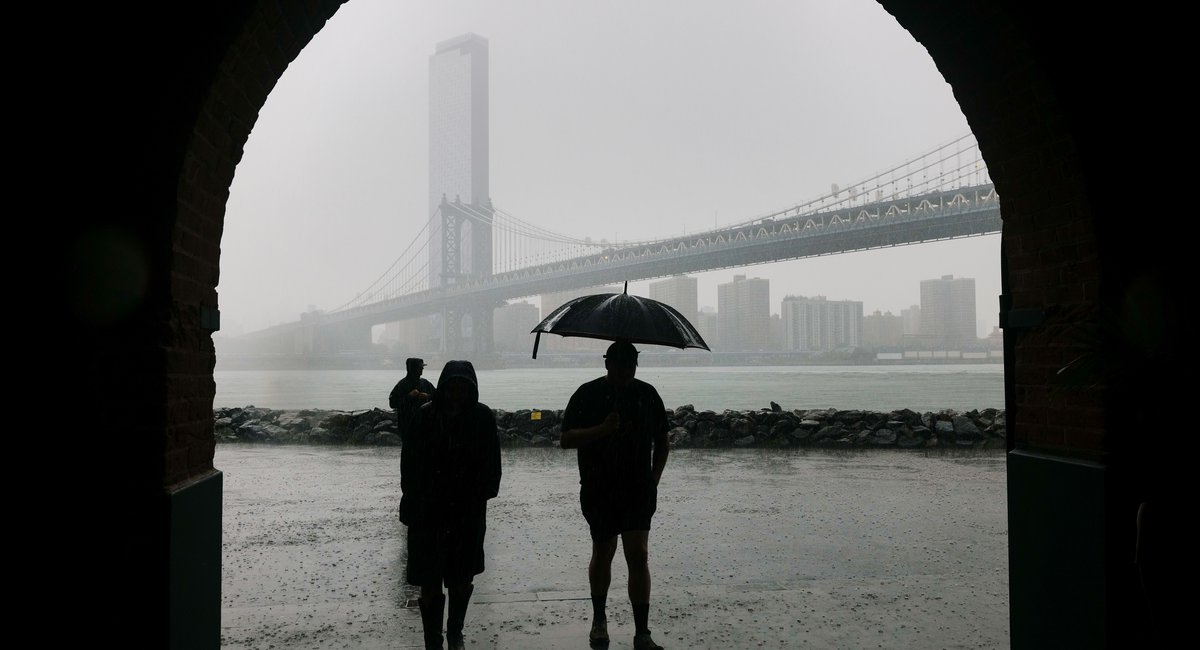
New York City can expect stormy weather this week after a blissful weekend of near-perfect sun and temperatures.
According to the National Weather Service, spotty rain showers and a potential thunderstorm are predicted to begin Monday afternoon before a week of more rain and storms.
NWS Meteorologist Bryan Ramsey said the less-than-ideal summer weather should break by the weekend.
“It’s going to be wet for much of the work week, at least Tuesday through Thursday, and then this weekend it looks like we’ll have another dry stretch of outdoor activities,” Ramsey said. Over the past weekend, New York saw clear skies — a break from the flooding, wildfire smoke and heat waves of the last month.
The NWS predicts two to three inches of rainfall, with the heaviest rain starting Tuesday afternoon into Wednesday morning. There’s also potential for flash flooding and thunderstorms during this stretch.
“ Localized amounts could end up higher. How high is still a little bit uncertain, just because we’re still trying to pinpoint exactly where that heaviest axis of rain’s going to fall,” Ramsey added. “Depending on what we look at, that heaviest axis could be in different locations. So until we have higher confidence on that, we’re not going with a flood watch.”
Ramsey also said the storm system will move slowly through the region.