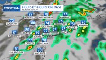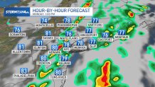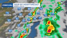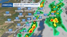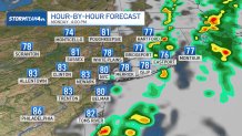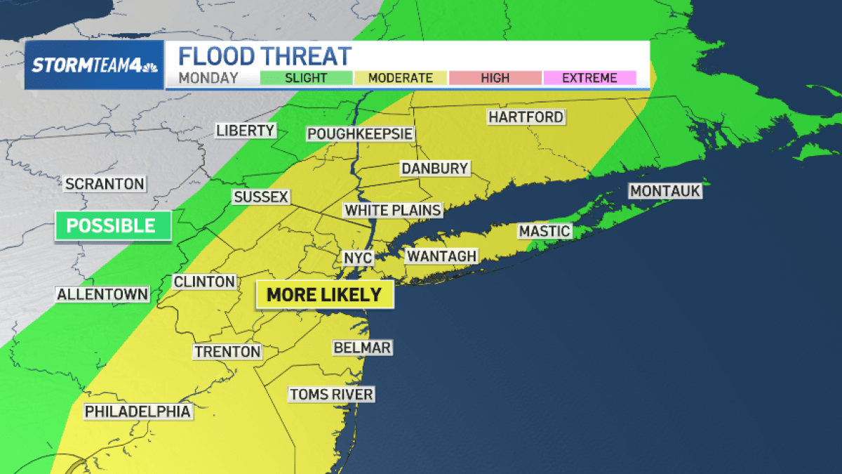
After flooding rainfall impacted the morning commute Monday, pockets of heavy downpours will continue to impact parts of the tri-state area into early afternoon.
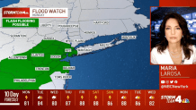
The threat zone is narrowing to Monmouth and Ocean counties in New Jersey and Long Island in New York.
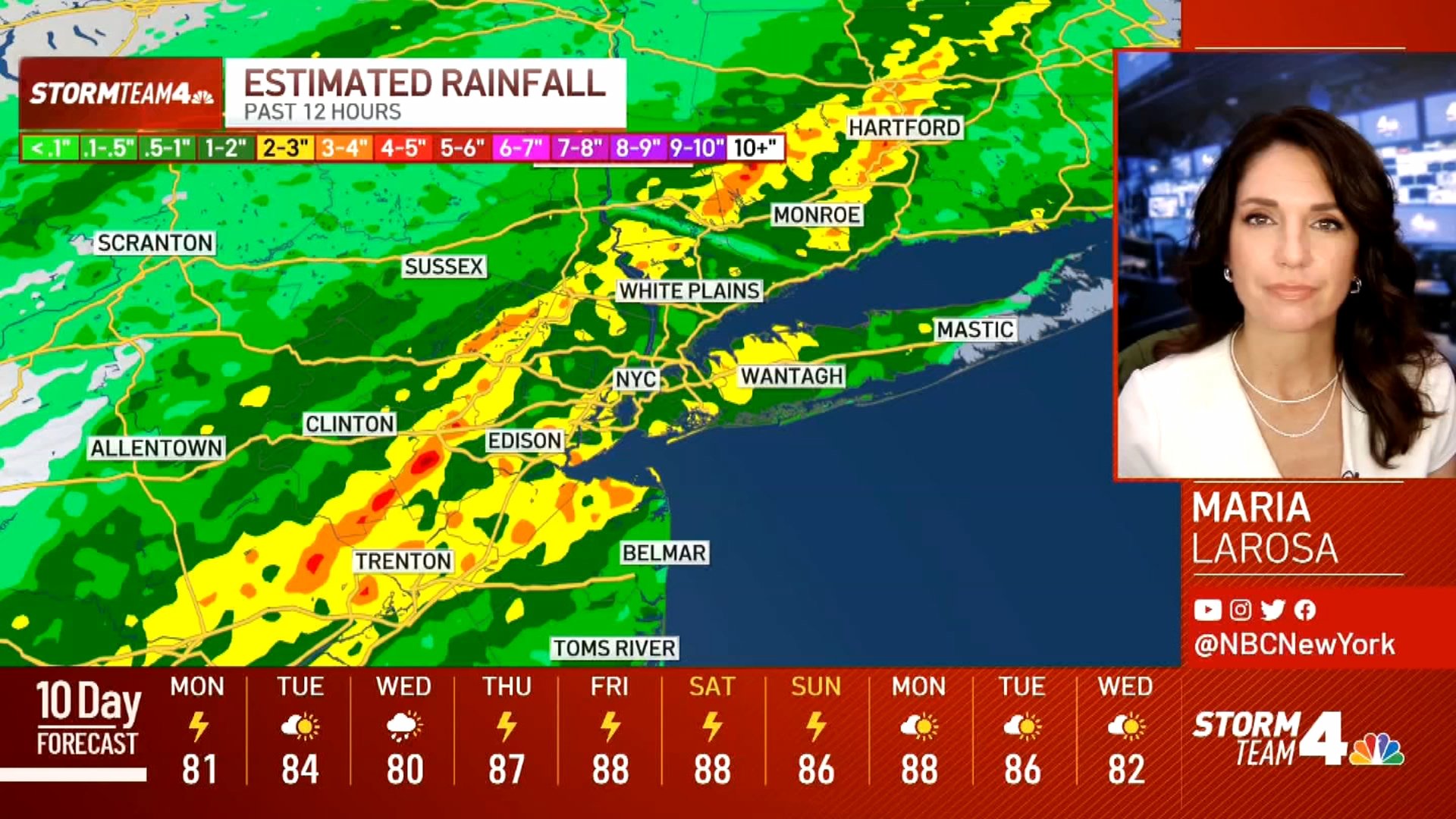
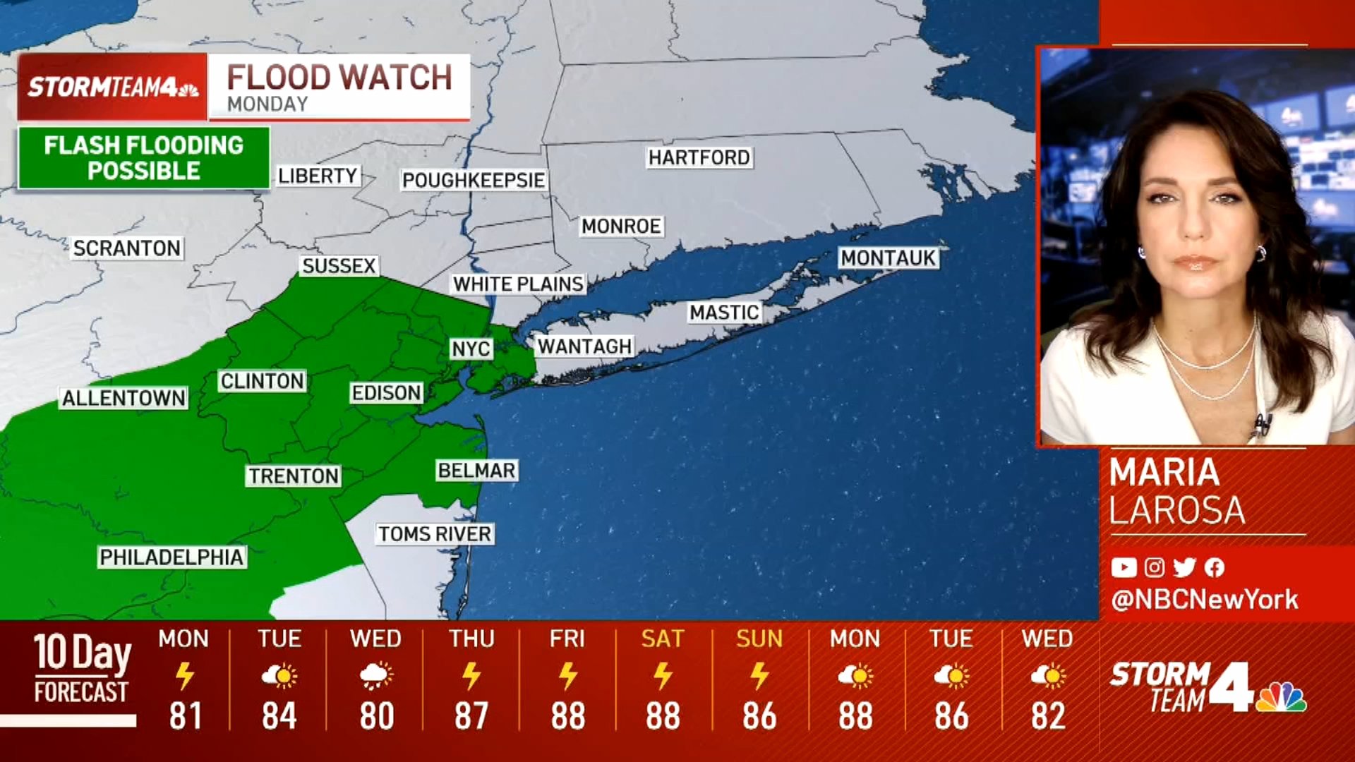
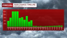
A band of heavy rain extending from Philadelphia to Long Island presents the greatest flash flooding threat through about 2 p.m. It is producing rainfall rates of 1 to 2 inches per hour and will slowly press East.
Watch NBC 4 free wherever you are
 WATCH HERE
A flash flood warning remains in effect for the New York City metro area until 12:45 p.m. Brooklyn, Queens, and Staten Island are most at risk for additional flash flooding from the current band of heavy rain.
An additional 1 to 2 inches of rain is possible. The heaviest rain will likely stay south of Manhattan and the Bronx, so lower rainfall totals are expected there.
Flash flooding remains the primary concern with this system. Don’t expect continual heavy rain but rather pockets of heavy downpours to move through from time to time.
Weather
1 hour ago
Latest Forecast From Storm Team 4
6 hours ago
Latest Forecast From Storm Team 4
By mid-afternoon, heavy rain will should be east of metro New York City, tracking across Long Island as it exits the tri-state area. Much quieter weather fills in behind it.
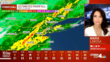
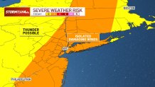
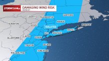
Check the latest severe weather alerts for your neighborhood here. Isolated severe weather is possible in other parts of the tri-state area, though any strong storms during the day would be scattered.
Humidity levels will begin to drop quickly Monday evening. If you’re outside, you’ll definitely notice a difference. This fresh air will stay in place through Tuesday, making Tuesday the crown jewel this week in terms of local weather.
Humidity and the chance for showers and storms return as early as Wednesday afternoon and continue through the weekend.
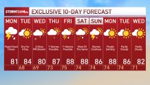
Monday’s hour-by-hour forecast