
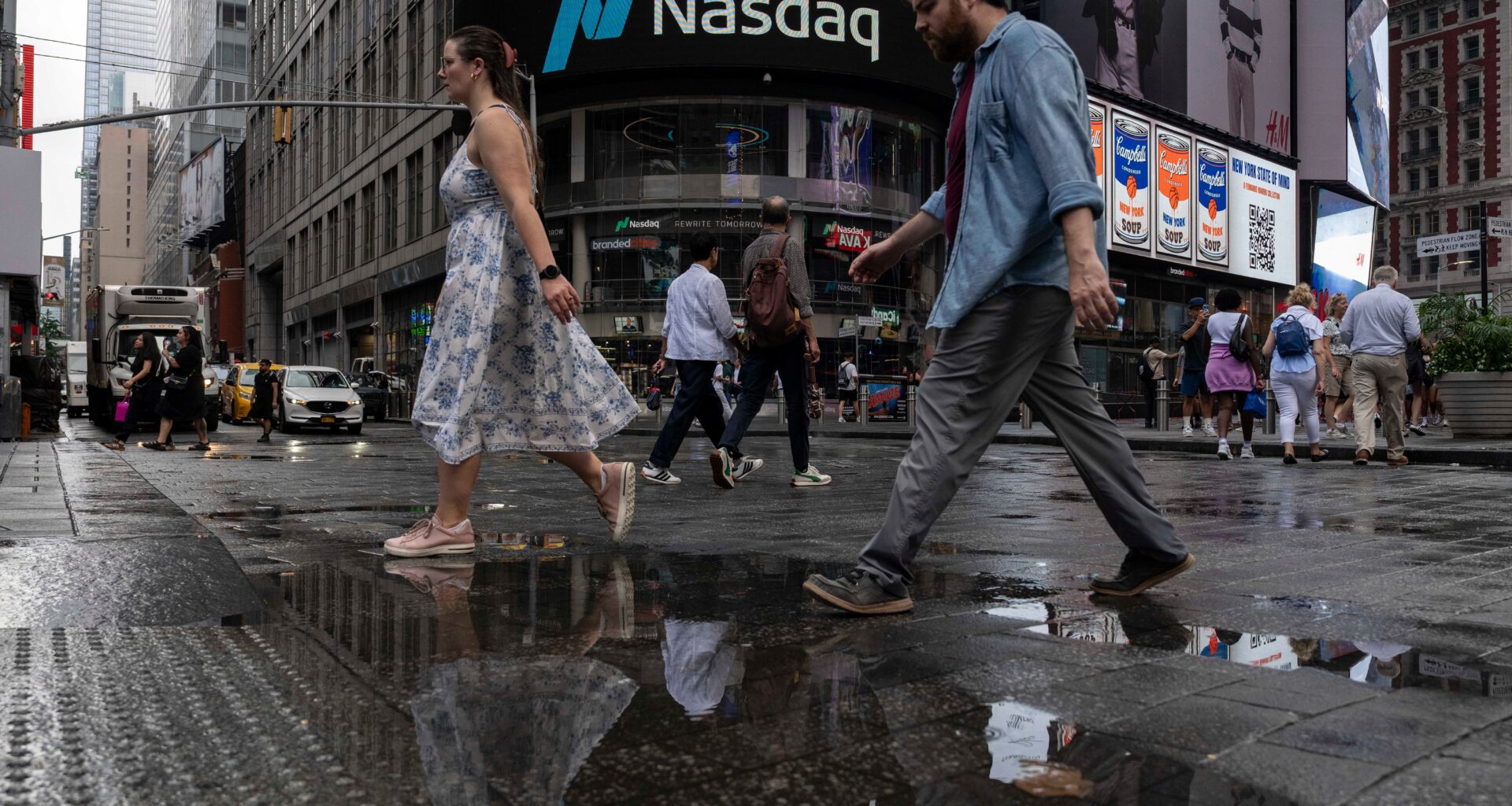
The heat won’t be the only thing spoiling New Yorkers’ fun in the sun this weekend.
There is a “slight risk of severe thunderstorms” and a “marginal risk for excessive rainfall today,” the National Weather Service said on Friday. It further warned of “damaging winds,” which could reach up to 70 mph, and “isolated flash flooding,” with clusters of storms expected to move into the area starting late afternoon and into evening.
“The steamy air sticking around will help provide fuel for the storms,” AccuWeather Chief On-Air Meteorologist Bernie Rayno said. “Weak fronts and the edges of high pressure will help focus the storms, allowing some to become severe or produce torrential downpours.”
Friday is also expected to be another sweltering summer day in the city — temperatures are expected to climb to 90 degrees with the intense humidity making it feel even hotter. While the day started off fairly mild, temps rapidly climbed late in the morning, with little reprieve in sight. Even the nighttime hours are likely to be uncomfortable, despite the lack of sunshine, NYC Emergency Management said.
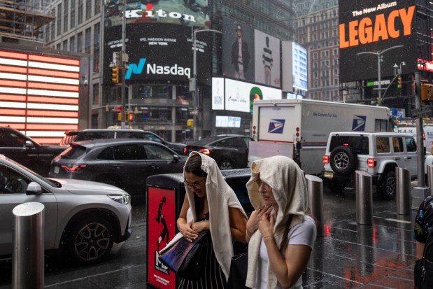 People cover themselves from the rain as they walk past the Nasdaq MarketSite, Thursday in New York. (AP Photo/Yuki Iwamura)
“You’ll start sweating sooner than expected, so stay hydrated, avoid strenuous activity and take frequent breaks in the shade or indoors,” the agency said before recommending some air-conditioned spots, like “a library, mall, friend’s home or city cooling center.
New York City Mayor Zohran Mamdani said this week that the city “is mobilizing every resource we have,” including opening hundreds of cooling centers and preparing catch basins before possible storms.
A heat advisory is in effect until 8 p.m., but officials have warned that it could be extended through the weekend, which is expected to remain hot and sticky. While the rain is expected to mostly subside by Saturday, temperatures will hover near the 90s through Sunday and into next week.