
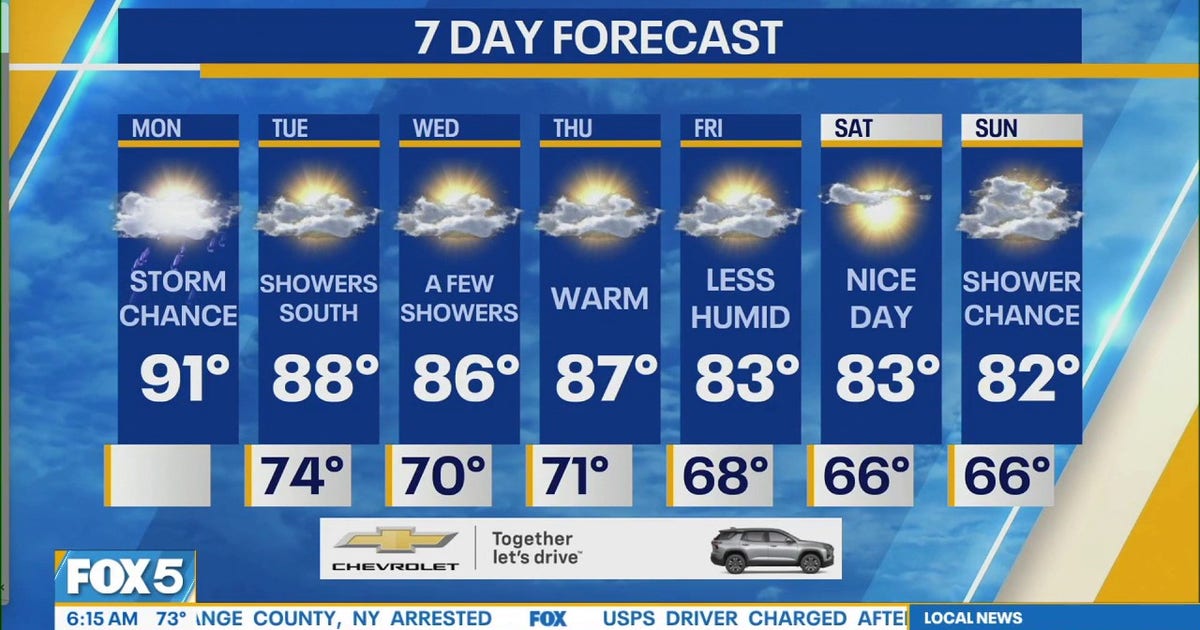
NEW YORK – The New York City area remains under a heat advisory Monday, with high temperatures back in the 90s and another chance for thunderstorms.
What we know:
The National Weather Service says max heat indices will reach the upper 90s Monday in the New York metro area, Long Island, northeastern New Jersey and along the Connecticut shoreline.
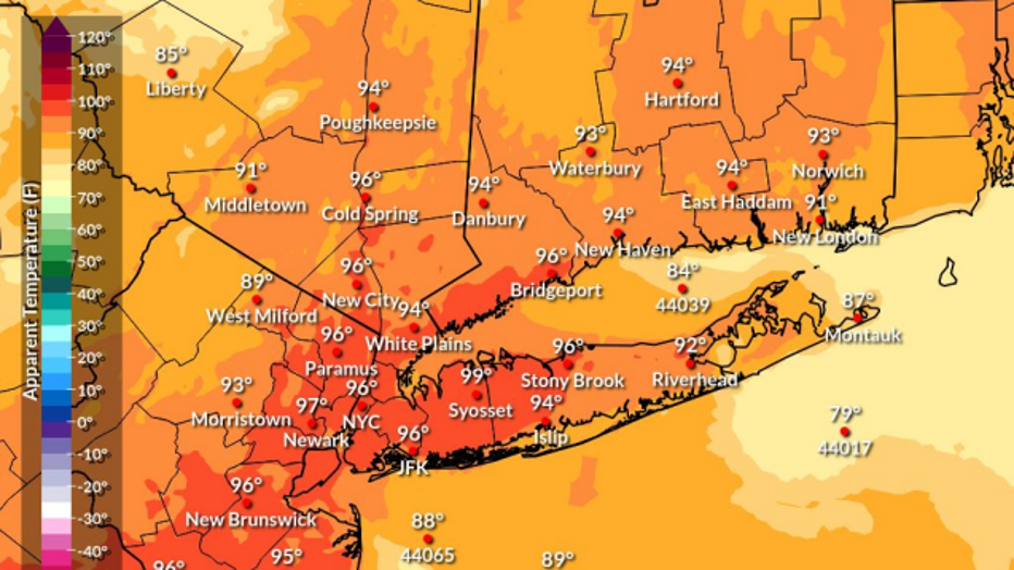
Any storms that pop up later could result in downed trees and power lines, the NWS said.
The heat advisory is in effect until 7 p.m.
Big picture view:
Monday starts on a milder note, but it won’t be long before the high heat and humidity set in once again.
Another round of showers and thunderstorms could pop up in the afternoon and evening, but FOX 5 NY meteorologist Mike Woods said the forecast is not calling for “a huge outbreak” of storms at this time.
A few downpours and gusty winds are not out of the question, Woods said.
What’s next:
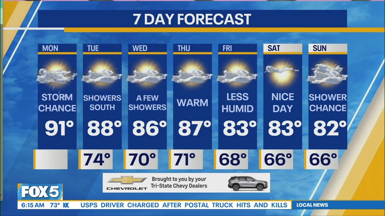
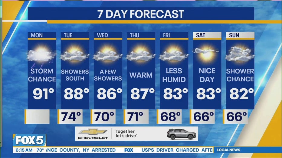
The Tri-State Area will finally get a bit of a break from the heat and humidity as both start dropping over the coming days.
The NWS said heat indices will stay below 95 for the rest of the week, “with a noticeable cool-down” by the weekend.
The Source: This article includes information from the National Weather Service and FOX 5 NY meteorologists.