
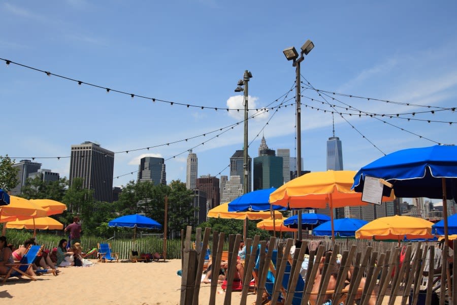
NEW YORK, N.Y. (PIX11) — It was another bright and pleasant start to the day on Sunday as high pressure sat over the area.
The afternoon and evening were a different story, however, as an incoming low-pressure system painted the skies gray and threw some raindrops our way. We still have some additional wet weather to deal with, but brighter skies are in our future.
As for Sunday night, you can expect clouds and showers to remain in the picture. A thunderstorm is possible in some locations. In addition, winds will remain out of the south, so humidity levels will continue to rise. Overnight temperatures will primarily be in the mid-60s to low 70s. A few 50s are possible in the Hudson Valley.
Some leftover wet weather is likely in parts of the area Monday morning, especially out on Long Island, but a break in the clouds will be seen afterwards. Sunday’s low-pressure system will remain nearby, so the threat of a pop-up shower or thunderstorm will exist later in the day. It will be quite muggy as well as humidity levels reach their peak. Afternoon highs will reach the mid to upper 80s.
A front will then sweep through, causing the humidity to drop. High pressure will follow close behind, clearing out the skies for Tuesday and Wednesday. Afternoon temperatures will remain in the mid to upper 80s.
Our next chance of rain comes Wednesday night into Thursday as another low-pressure system approaches the tri-state area.
Copyright 2026 Nexstar Media, Inc. All rights reserved. This material may not be published, broadcast, rewritten, or redistributed.
For the latest news, weather, sports, and streaming video, head to PIX11.