
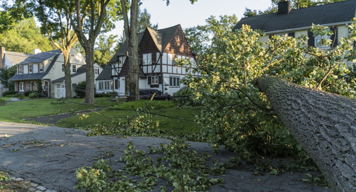
Tornadoes like the one that came ashore in Long Island last week are rare around New York City. But they’re becoming an increasingly common occurrence in New Jersey, which is in the midst of a busy tornado season and has seen wild spikes over the last several years.
The Garden State has seen an average of about 2.5 tornadoes a year since 1950, according to state climatologist data. But four have already been recorded thus far this year and three last year.
And the last few years have seen almost unheard-of numbers overall — with 18 tornadoes in 2023, the most on record in the state climatologist data. That includes a record-tying seven in a single day, which hasn’t happened since November 1989, amid a larger outbreak that caused major damage across the Southern and Eastern U.S., as well as parts of Canada.
New Jersey and New York were both on high alert Thursday when large swaths of the area were blanketed with heavy rain, flash flooding and thunderstorms. Multiple parts of the region were placed on tornado watch, with emergency management agencies instructing people to abandon basement apartments and avoid stepping outside as the weather led to bumper-to-bumper traffic and transit delays.
At least one tornado was confirmed by the National Weather Service to hit New York, damaging surf clubs along Long Island after appearing as a waterspout off southeastern Queens and southwestern Nassau County. The NWS said it was also investigating whether to officially categorize another nearby waterspout as a tornado as well.
A tornado hasn’t hit southeastern New York since 2022. Many years, the New York City area doesn’t see any tornadoes at all, and when it does, they’re typically the weakest categories, the National Weather Service told Scientific American. The last time a tornado came ashore in Queens was in 2012.
Steven DiMartino, a meteorologist who moved to Monmouth County when he was 6. He’s said his area has had more confirmed tornadoes this summer than at any other time in his lifetime.
He can recall when tornado watches, let alone tornado warnings, were rare in the area. Tornado watches suggest conditions are ripe for one to appear. A tornado warning means one seems imminent, or has already been spotted.
But Monmouth County has been under a tornado watch four times this year, with three of those issued in July, according to a report from the New Jersey state climatologist’s office. The area had received just one — in May — the year prior.
“I never thought growing up that I would see the number of severe tornado watches and warnings that I am seeing now,” DiMartino said. “Never in a million years did I think that this was going to be an issue.”
DiMartino said he’s personally witnessed the proliferation of thunderstorms in the area and the increased presence of tornadoes, increasing the potential for infrastructural damage – including the homes of some of his neighbors.
He attributes the growing activity to an increase in water in the atmosphere, and a warmer surface due to which he attributes to climate change. He said that seems to be creating conditions that can enhance the occurrence of thunderstorms, and therefore tornadoes.
He and other experts are instructing residents to take these tornadoes seriously, rather than treat them as spectacle or “something you’d see in the movies, like ‘Twister.’”
“If there’s warnings out, we don’t need anyone going out there trying to drive and find the tornadoes. I am seeing that way too much,” he said. “Stay home.”
The increase of tornado activity in the area also comes as the White House slashes funding for the National Weather Service and FEMA, resulting in cuts to forecasts and weather alert programs. Some weather experts argue that these cuts have weakened these agencies’ abilities to forecast and monitor bouts of extreme weather.