
STATEN ISLAND, N.Y. — Meteorologists in the United States are confident that a “very strong” El Niño is developing, which could impact the Northeast in the fall and winter of 2026-27.
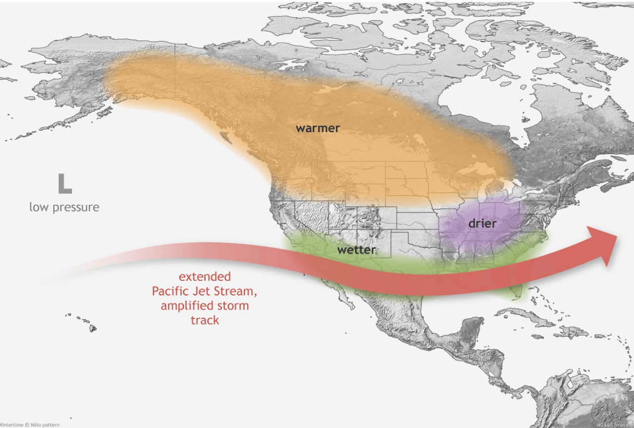
El Niño is a phenomenon caused by trade winds weakening over the tropical Pacific Ocean, which leads to warmer ocean waters. The jet stream typically extends eastward and shifts southward, serving as a river of air and carrying more moisture across the southern United States, according to the National Oceanic and Atmospheric Administration’s Climate Prediction Center.
The Climate Prediction Center predicts that the odds of a ‘very strong’ El Niño in the coming months are over 90%. The stronger an El Niño, the greater the chance it will affect North America in the late fall and winter period, experts say.
The phenomenon could mean heavy precipitation, warmer temperatures and the chance — though less likely due to warmer temperatures — of more snow.
New York currently faces a roughly 50% to 60% chance of seeing higher than average precipitation between December and February, while its chance of higher than average temperatures during the same period are about 40% to 50%, according to CNN Weather.
Possible ‘Super El Niño’ by fall
Senior meteorologist Paul Pastelok, lead long-range forecaster for AccuWeather, said he expects the equatorial Pacific will warm even more with this El Niño, which could mean “super El Niño” status by this fall.
Rain will likely be more prominent as a result of the weather phenomenon, while some stronger El Niños of the past have produced significant snow events in the past, Pastelok said.
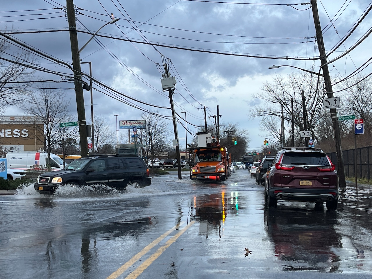 A strong El Niño is forecast to impact U.S. weather for the fall and winter of 2026-27. This photo from Jan. 10, 2024, shows flooding on Arthur Kill Road near Getz Avenue.(Advance/SILive.com | Jan Somma-Hammel)
“A lot of times with El Niños we don’t have a lot of Arctic air masses or cold air masses and so the timing could be off,” said Pastelok. “And I wouldn’t be surprised that, you know, here in the Northeast there could be several rain events in the December time period rather than snow events.”
Forecasters eyeing ‘historic’ weather system
During an Aug. 13 El Niño/Southern Oscillation diagnostic discussion, the National Weather Service’s Climate Prediction Center said there is a 69% chance that between October and December there will be a “historic event that would exceed the strength of previous El Niño events dating back to 1950.″
As this is going to be a “very strong El Niño,” it’s believed that there is going to be a powerful and active southern branch of the jet stream, Pastelok said.
That means that many systems will track from the West across the country, swinging down toward the Gulf Coast and Southeast. Occasionally, those rain systems will find their way northward.
Impacts could surpass winter months
As of Monday, AccuWeather believes this El Niño will peak in the late fall or early winter.
However, Pastelok noted that since El Niño is a “phase” and not a storm, it takes time for the atmosphere to react and balance out. So even if El Niño were to weaken, there is a “lag” that will cause El Niño’s impact to be felt for a period of time afterwards.
“We could have El Niño affecting us, being that it’s strong, all the way through next summer,” Pastelok said.