
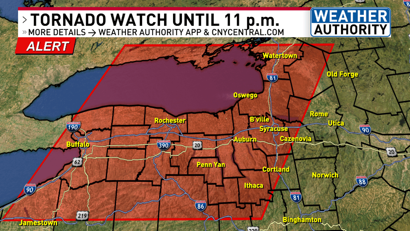
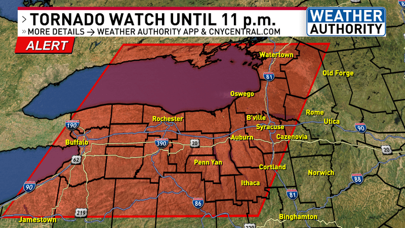
SYRACUSE, N.Y. — The National Weather Service Storm Prediction Center has issued a TORNADO WATCH for parts of upstate New York until 11 p.m. Wednesday evening.
Right now locations near and south of Syracuse are under a FLOOD WATCH until 8 a.m. Thursday.
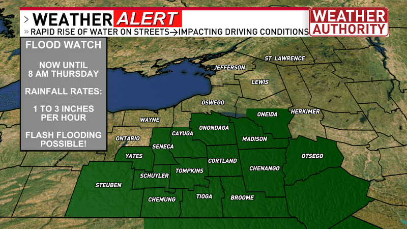
Here are the latest severe weather warnings and advisories:
Here is a zoomed-in look at the map:
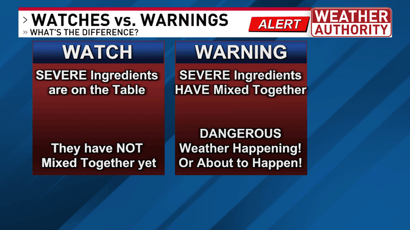
Do you know the difference between a WATCH and a WARNING?
The chances have become ENHANCED this evening for severe weather an our risk is higher than previous severe weather events this summer.
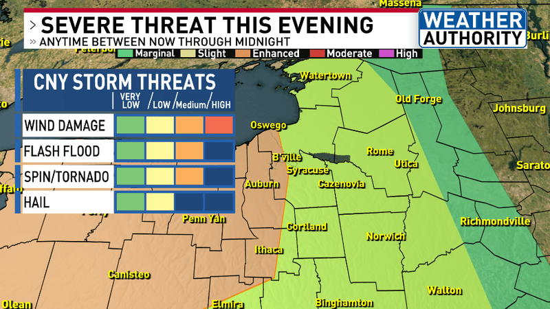
SEVERE THREAT WEDNESDAY EVENING
What should you do if a SEVERE THUNDERSTORM WARNING is issued for your area?
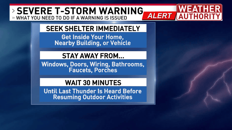
SEVERE THUNDERSTORM WARNING SAFETY
What should you do if a FLASH FLOOD WARNING is issued for your area?
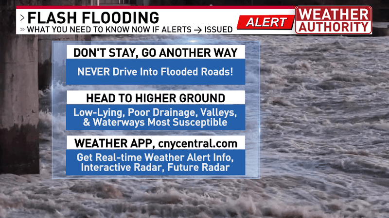
FLASH FLOOD WARNING SAFETY
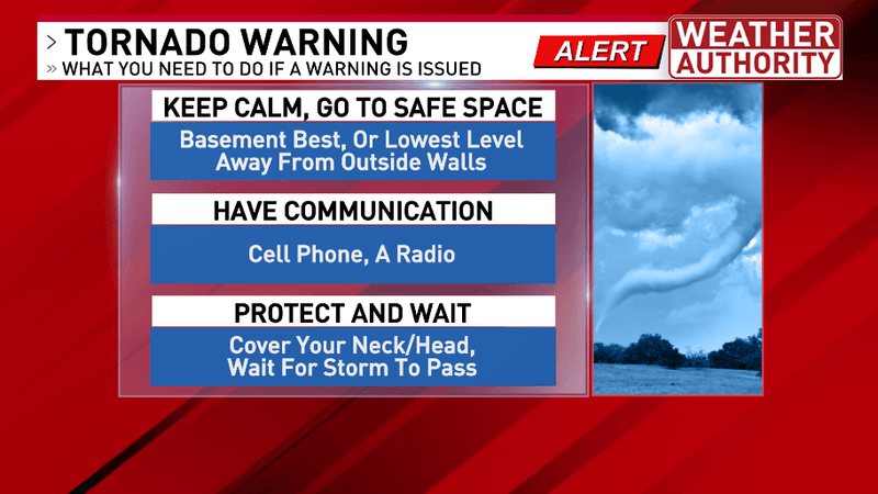
What should you do if a TORNADO WARNING is issued for your area?
We’ll be covering LIVE RADAR and weather all evening on NBC3 and CBS5 from 5-6:30 p.m. as well as on NBC3 at 7-7:30 p.m. CW6 news at 10 p.m. and NBC3 and CBS5 at 11-11:30 p.m.
Track the storms with LIVE RADAR here: cnycentral.com/weather/radar
If you have any damage to report please CHIME IN here: https://cnycentral.com/chimein
OR
You can email our meteorologists with your photo or video attached here: weather@cnycentral.com Please include in the email your permission for us to use your picture or video on air and across our digital and social platforms.
We do ask if you take a photo or video with your phone to please do so in landscape mode or turn your phone the long horizontal way instead of the normal portrait or vertical way.
Thank you for your reports and for watching CNY Central as we’re keeping you safe and ahead of the storms!