

Low pressure moving through the Great Lakes brings rain showers today. As the day progresses, expect a dry spell through the mid-afternoon, but a cold front will lead to more showers and isolated thunderstorms later on. Highs today in the upper 40s.
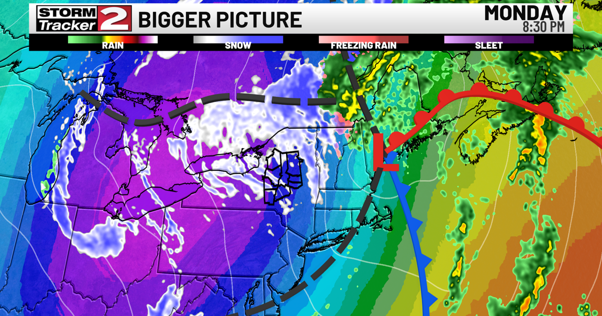
By Monday morning, the cold front ushers in much colder air, turning lingering rain showers into snow showers. Temperatures will hover around freezing, making for a brisk start to the week.
Monday night into Tuesday night, a west to northwest flow continues across the region. Moisture from Lake Ontario will produce scattered snow showers in Central New York, with light accumulations, the heaviest of which atop the Tug Hill Plateau. Temperatures will remain in the 20s and 30s, and wind gusts up to 30 mph could add to the winter-like feel.
Looking ahead to midweek, another system continues northwest flow and could bring more rain and snow showers on both Wednesday and Thursday. Temperatures may slightly rise, and high pressure is expected to build by Saturday, leading to a slow clearing trend.