
Christopher Gress and Julie Millet
6 hours ago
NEW YORK (PIX11) — It was a great start to the weekend around the tri-state area as offshore high pressure kept conditions dry and pleasant. However, changes are on the horizon as a low-pressure system begins moving up the East Coast.
Heading into Saturday evening and Saturday night, you can expect clouds to be on the increase as the aforementioned low-pressure system closes in on our area. The early part of the night looks dry, but a few showers could begin popping up in some locations after 3 A.M. Humidity levels will be on the rise as well. Overnight lows will primarily be in the 60s, but parts of the Hudson Valley could drop into the 50s.
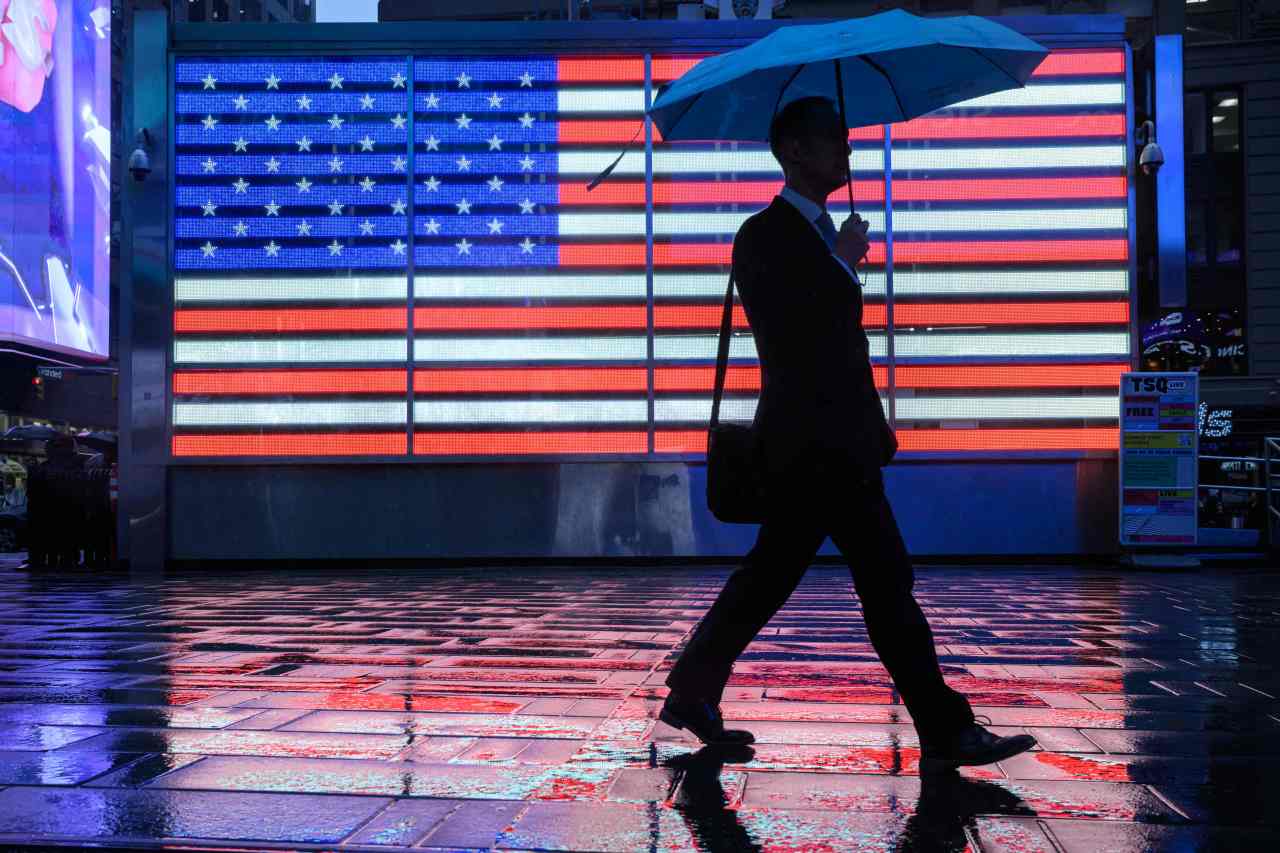
If you’re planning on an early start Sunday, be sure to take an umbrella along. Showers and thunderstorms are likely throughout the area until the noon hour. Afterwards, conditions will begin to dry out and some sun is possible as well. The only caveat is that humidity levels will reach their peak. Temperatures will top out the upper 70s to low 80s.
We’ll then have a front sweep through the area Monday morning bringing the chance of a shower with it. The rest of the day looks bright and breezy, however, and humidity levels will take a dive. Highs will be in the 70s. More of the same is forecasted for Tuesday.
Expect humidity levels to increase a bit on Wednesday and Thursday as winds shift to the southwest ahead of a storm system. As that system gets closer to the city, some wet weather could develop Thursday night into Friday. Temperatures will rise into the low 80s.