
The first nor’easter of the season will have major impacts across the New York City area, unleashing impacts similar to that of a tropical storm.
New York Gov. Kathy Hochul has declared a State of Emergency for Nassau, Suffolk, New York City and Westchester ahead of the biggest impacts.
“This will be a long-duration event through multiple tide cycles well into this weekend, leading to major coastal flooding and beach erosion as well as strong winds pushing on trees for a longer period of time,” AccuWeather Chief Meteorologist Jon Porter said. “Expect not only coastal inundation from storm surge, but also areas of urban flooding away from the coast, as well as regional power outages.”

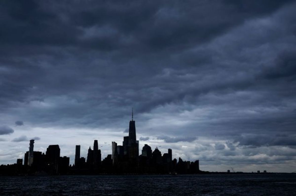
Dark clouds pass over the skyline of lower Manhattan and One World Trade Center as the sun sets on the Autumn Equinox in New York City on Sept. 22, 2026, as seen from Hoboken, New Jersey. (Photo by Gary Hershorn/Getty Images)
Outdoor events across the metropolitan area have already been canceled or altered due to the storm. Saturday’s baseball game between Baltimore and New York was moved to Friday as part of a doubleheader to avoid the worst of the impending weather. The Global Citizens Festival scheduled for Saturday at the Great Lawn in Central Park was canceled, along with the 2026 Hamptons Marathon.
New York City
New York City’s worst conditions are expected Saturday and Saturday night, when wind gusts of 40 to 50 miles per hour and 2 to 4 inches of rain could complicate travel. Higher winds and heavier rain is expected in areas farther to the south and east, including on Long Island and along the Jersey Coast.
Gusty winds could bring down tree limbs and cause scattered power outages while rain could lead to ponding on roads.

Storm surge at the coast is forecast to reach 1 to 3 feet for many areas but will differ across the city based on wind direction and geography. Battery Park, at the southern tip of Manhattan, is expected to experience little storm surge.
Storm surge is likely to exceed 3 feet on the western end of the Long Island Sound, including in eastern-facing coasts of The Bronx and the northern-facing coasts of Queens. Similar water levels are predicted along the east-facing coasts of Staten Island and along Sandy Hook Bay in New Jersey.

The nor’easter will linger around the New York City area for days, disrupting travel and daily routines through the Monday morning commute.
Montauk, New York
Montauk, on the eastern end of Long Island, faces some of the storm’s fiercest impacts with wind gusts of 60 to 80 mph, similar to those of a strong tropical storm or a Category 1 hurricane. Winds of that strength could topple trees, damage power lines and cause outages.

AccuWeather is forecasting more rain in Montauk than in New York City. Rainfall totals in eastern Long Island forecast to be 3 to 5 inches, which is around the historical average for the entire month of September.
Heavy rain, combined with 2 to 4 feet of storm surge, can cause roadways to flood, especially near the coast. The pounding surf can also cause some erosion along the coast.