
The Brief
Snow fell on Tuesday morning across parts of New York City, making for potential slick roads and sidewalks.
A freeze warning was in effect until 9 a.m. for portions of southern CT, NE NJ and SE NY.
Blustery west winds (15–25 mph) keep it feeling colder; afternoon highs near 44°F.
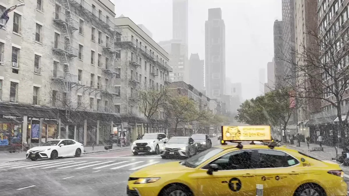
NEW YORK – New York City woke up to its first snow of the season on Tuesday as a burst of wintry showers moved through during the morning commute, bringing slick spots and a bite of winter to November’s chill.
Snow squall
What we know
Snow briefly flurried through the city and was set to taper as the morning continued, with clouds hanging tough through the afternoon.
Temperatures rebound into the low-to-mid 40s, and west winds 15–25 mph will make it feel colder through the day. A freeze warning was in effect until 9 a.m. for parts of southern Connecticut, northeast New Jersey and southeast New York, where lows dipped to the upper 20s and lower 30s. These temps are cold enough to damage sensitive plants.
Snow in NY
What’s next
While totals are light, brief coatings are possible on colder surfaces, especially on bridges, overpasses and untreated side streets.
The chilly temperatures stick around through midweek. Looking beyond today, FOX 5 NY’s winter outlook points to more frequent snow chances than last season for parts of the region, with the best odds north and west of the city if colder patterns lock in.
The Source
Information from FOX Weather’s NYC forecast, National Weather Service New York and FOX 5 NY’s Winter Weather Outlook were used in this report.