

NEW YORK (WABC) — At least four people have died after the first hurricane of the Atlantic season roared onto the Florida Panhandle before carving a path into the Southeast.
Isaias left behind a trail of damaged roofs and downed power lines along the Gulf Coast. It’s no longer a hurricane but is still bringing torrential rain and the threat of flash floods and tornadoes across the region. Close to 700,000 customers were without power, mostly in Florida and Alabama. Isaias came ashore as a Category 2 hurricane on Friday near Destin, Florida. The storm weakened overnight to a post-tropical cyclone but remains dangerous.
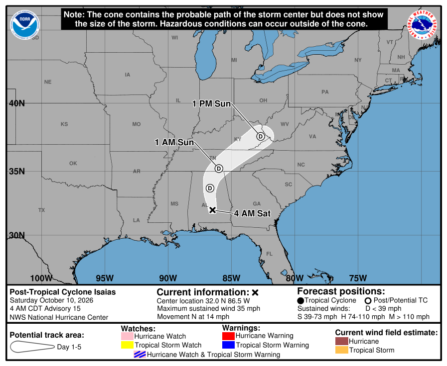
An AccuWeather Alert has been issued for Sunday.
For the Tri-State area, clouds will continue to increase Saturday night, but most areas should remain dry through the overnight hours.
Rain is expected to begin moving into parts of New Jersey around daybreak before spreading into New York City by mid- to late morning. The steadiest and heaviest rainfall is expected during the afternoon, when some locations could see intense downpours capable of producing ponding on roadways and localized street flooding in poor-drainage areas.
Rainfall totals of 1 to 2 inches are expected across much of the area, with many locations likely ending up near the lower end of that range. While winds are not expected to be particularly damaging, gusts could reach 25 to 30 mph, especially along the Jersey Shore.
The heaviest rain should begin shifting northeast Sunday evening, although scattered showers and even an isolated rumble of thunder may linger into Sunday night and early Monday morning. Travelers should continue to watch for standing water and leftover flooding concerns through the night.
Rain may linger into Monday morning before conditions gradually improve.
Stay with the Eyewitness News AccuWeather team for continuing updates