
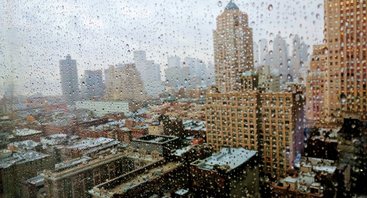
New York City weather is having an identity crisis as it whips from highs near 80 Thursday to temps in the 50s by Saturday, according to the National Weather Service.
And the steep temp drop will come in with some potentially dangerous storms Friday evening, forecasters say. The city’s emergency management office is warning New Yorkers to take precautions if headed out at night.
“Strong thunderstorms could move through the city as a cold front crosses NYC. The forecast shows winds picking up around 3 p.m., with the main storm window from 6 p.m. to 9 p.m. and possible gusts of 40 to 60 mph that could bring down tree branches,” the emergency management office posted on X. “According to the forecast, the highest chance of severe storms is expected in western parts of the city.”
If your Friday plan does include stepping out, you’ll want to carry an umbrella, jacket and possibly a helmet.
“We’ll have to watch out for the potential for severe thunderstorms later [Friday] afternoon into the evening,” National Weather Service meteorologist John Murray said. “The main threat being damaging winds.”
Forecasters say, by evening, showers will return with scattered thunderstorms as temperatures drop to around 50 degrees. Saturday clears up a bit with only a slight chance of rain, but the cold front will make it much chillier with highs in the mid 50s.
Cooler still is Saturday night, when temperatures drop to the high 30s, according to the National Weather Service.
By Sunday, the forecast calls for sunny and crisp weather with highs in the upper 50s. Genuine fall vibes are expected next week with highs in the mid-to-low 60’s and mostly clear skies.