
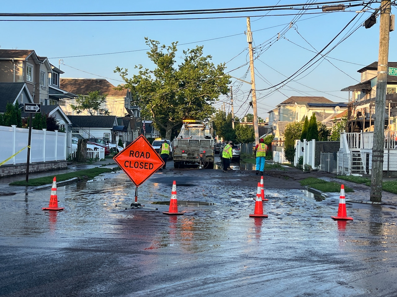
STATEN ISLAND, N.Y. — A project to enhance infrastructure near the New Creek Bluebelt will soon improve roadway drainage and reduce flooding for thousands of Midland Beach residents.
On Thursday, the Department of Design and Construction hosted the first public meeting for the next phase of the New Creek Bluebelt project, which transformed an existing waterway into a natural piece of infrastructure that helps guide rainwater from the surrounding streets out to the lower New York Bay.
“The Bluebelt program builds, preserves and enhances natural corridors to reduce flooding, improve water quality and create open green spaces all across Staten Island. Bluebelts have worked tremendously well in areas in need of flood mitigation and protection across this particular area of Staten Island and other parts [of the borough],” said Joseph Kardos of NV5, the technical design consulting firm working on the project.
Earlier parts of the New Creek Bluebelt project saw the transformation of a former creek-turned-dumping ground into an open space that helps protect the surrounding area from heavy rainfall.
Now, the city plans to install new storm sewers in the surrounding neighborhoods to connect to the New Creek Bluebelt, allowing water to flow from flood-prone streets to the bluebelt and then out into the bay.
“While the Bluebelt is already built for this area, the connecting storm sewer network for [New Creek] still needs to be constructed and that is a key part to this project. So once complete, this system will reduce standing water, lessen flooding and create a more connected, efficient drainage network for nearby neighborhoods,” Kardos said.
The multi-block project area is generally bounded by Boundary Avenue to the west, Father Capodanno Boulevard to the east, Hunter Avenue to the north and Midland Avenue to the south.
Kardos explained that his team has collected detailed data on the existing infrastructure and built a digital model to simulate how rainwater flows throughout the area, allowing them to identify the most problematic areas in terms of flooding and drainage without needing to dig up a single street.
The project, which is still in the design phase, is expected to include the installation of new storm sewers, roadway reconstruction to add curbs, crowns and catch basins, the enhancement of two existing culverts and improvements to utility infrastructure, like sanitary sewers, water mains and lead line replacements.
“This project is about building the missing connection between local streets and the Bluebelt. By creating a complete stormwater system, we can move runoff efficiently into the Bluebelt and reduce flooding across the neighborhood,” Kardos explained.
The Thursday public meeting was the first of several that will take place throughout the course of the project, with city officials encouraging community members to engage with the project team so they can best meet the needs of nearby residents.
Officials anticipate construction to begin mid-2027, though it’s currently unclear when the project will be completed.
For more information on the project, visit midislandbluebelt.com.
If you purchase a product or register for an account through a link on our site, we may receive compensation. By using this site, you consent to our User Agreement and agree that your clicks, interactions, and personal information may be collected, recorded, and/or stored by us and social media and other third-party partners in accordance with our Privacy Policy.