
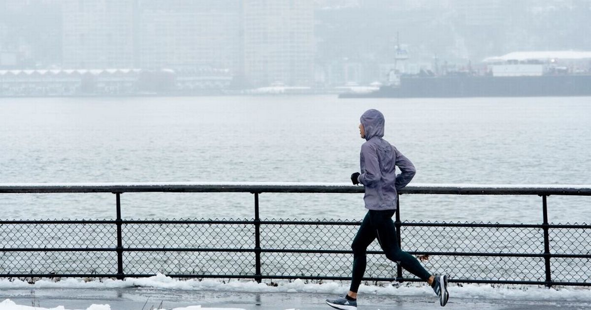
A special weather phenomenon called lake effect snow is sending massive squals of snow sweeping across the North East us threatening snow for millions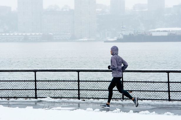 A person runs through cold weather on the West Side of New York City (stock photo)(Image: AFP via Getty Images)
A massive storm system is sweeping south out of Canada sending tempeartures plunging and bringing a 1,000 mile wide snow front across the North East.
As cold air deepens across the region, residents can expect a return to snow-covered landscapes, brisk winds, and slower travel. The approaching pattern will send temperatures on a steady downward slide into early week, with many communities seeing daytime readings fall back into the 30s and 40s.
Combined with the persistent winds, the chill will feel even sharper, and conditions will become increasingly favorable for lake-effect snow.
READ MORE: Parents laughed as burned, beaten and tortured 9-day-old baby diedREAD MORE: Texas dad played video games while 3-month-old who ‘looked like skeleton’ starved to deathMassive cold front sweeping down on New York
As cold air spills over the still-warm waters of the Great Lakes, the contrast will generate corridors of snowfall. These bands can shift quickly, concentrating several inches of snow over one community while leaving nearby areas nearly untouched.
Meteorologists expect the heaviest squalls to set up east and southeast of Lakes Huron, Erie, and Ontario. The front stretches from Pittsburgh to Bangor in Maine, a distance of 1,000 miles.
Some locations, particularly from Erie, Pennsylvania, to areas between Syracuse and Oneonta, New York, may see 3-6 inches of accumulation, with a few isolated pockets reaching double-digit totals. Alongside the snow, strong winds will be gusting between 40 and 60 mph and potentially up to 70 mph. This will create hazardous travel conditions and could lead to scattered power outages.
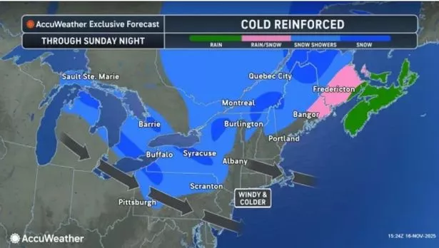 The massive snow front sweeping across the North East(Image: AccuWeather)Where in New York will the cold front hit?
The brunt of the lake-effect snow is forecast to impact communities located east and southeast of the Great Lakes. This includes portions of northwestern and central Pennsylvania as well as western and central New York.
The precise areas receiving the highest snowfall will depend heavily on wind direction; even a minor shift could redistribute snow amounts.
The gustiest winds will sweep broadly across the Great Lakes region, the mid-Atlantic, and New England, affecting major travel corridors such as Interstates 76, 80, 81, 87, and 90.
 Snow can make New York a winter wonderland(Image: AFP via Getty Images)How long will the cold front last in New York?
Snow showers will begin spreading southeastward off the lakes on Sunday and will persist through Sunday night into early Monday.
The most challenging travel window is expected from Sunday evening into Monday morning, when visibility may drop sharply within the heaviest snow bands. Strong winds developed late Saturday night and continued through Sunday evening.
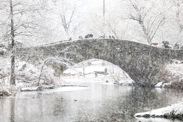
Travel chaos ahead of the holidays
Weather like this effects travel, safety, and early-season preparedness across a large swath of the Northeast.
Lake-effect snow can be unpredictable and extremely localized, making road conditions vary dramatically over short distances. Combined with powerful gusts capable of bringing down branches, disrupting power, and shifting vehicles on highways, the storm poses a meaningful hazard.
With holiday decorations already displayed in many areas, unsecured items may also be at risk. Although not the season’s first cold snap, this event shows that winter weather impacts can escalate quickly when cold air and the Great Lakes interact.