
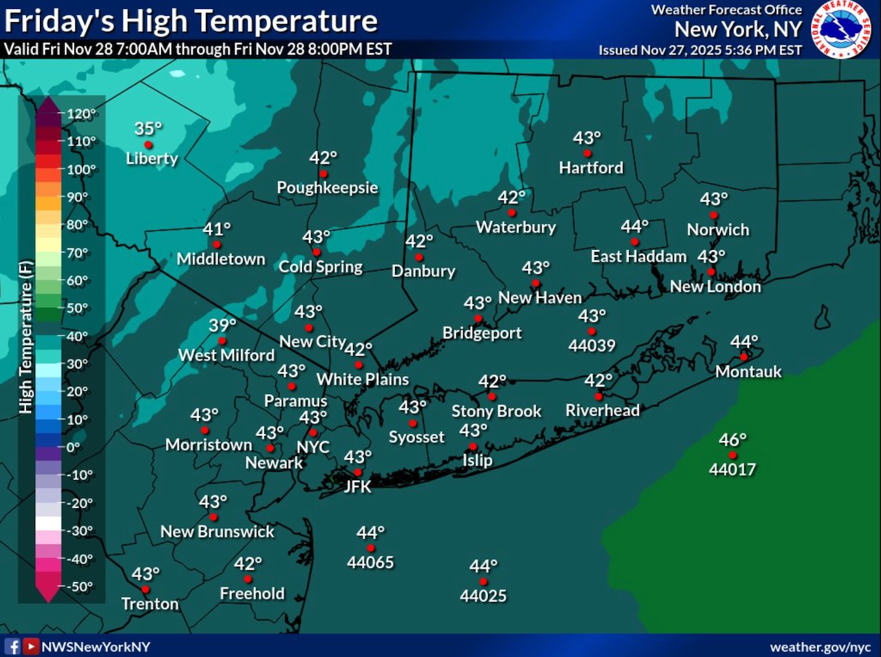
 A National Weather Service graphic shows anticipated temperatures for Friday, Nov. 28, 2025.National Weather Service
STATEN ISLAND, N.Y. — Staten Island residents should prepare for strong winds and below-normal temperatures Friday, with wind gusts reaching up to 40 mph. The National Weather Service has issued a gale warning for sustained winds for nearby waters until 6 p.m. on Friday evening.
According to the National Weather Service, winds will be strongest during the afternoon hours, with gusts between 35 to 40 mph possible across Staten Island. Despite actual temperatures reaching the lower 40s degrees, wind chills will make it feel like the low to mid-30s throughout the day. There’s also a slight chance of snow showers on Friday afternoon, though little to no accumulation is expected.
Winds will gradually diminish Friday evening as high pressure builds into the region from the south and west. Overnight temperatures will fall to the upper 20s to lower 30s across Staten Island, with decreasing cloud cover and diminishing winds by late night.
Saturday will remain dry but cold, with high temperatures similar to Friday, mainly in the lower 40s. Winds will be lighter, shifting to the northwest at around 10 mph with occasional gusts up to 15-20 mph.
The weather pattern changes Sunday as a warm front approaches the region. Rain showers are likely Sunday afternoon into evening with temperatures moderating slightly. The precipitation will be primarily rain for Staten Island and New York City.
Looking ahead to early next week, Monday should be mainly dry and colder as high pressure builds in from the west. A developing low pressure system may bring the first potential winter weather to the area Tuesday into Tuesday night, with a mix of rain and snow possible. The National Weather Service notes there remains uncertainty in the storm track, which will be critical in determining precipitation type.
Temperatures are expected to remain below normal through Thursday, with high pressure returning for Wednesday into Thursday.