
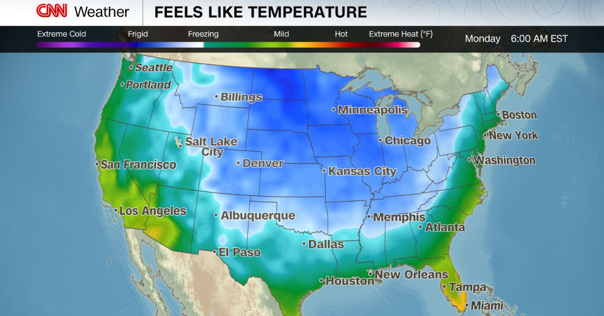
New York City residents should prepare for a sharp drop in temperatures and wintry weather, as an Arctic cold front moves across the Northeast this week. The frigid air, set to hit the city Tuesday, brings a chance of snow and strong gusty winds, marking a dramatic shift from earlier December conditions.
The incoming cold front is expected to bring light snow or a wintry mix, with forecasters predicting occasional flurries and brief periods of accumulating snow in some areas.
However, the bulk of snowfall is likely to remain north and west of the city, with most of New York City seeing a transition to cold rain. Wind gusts could reach up to 17 miles per hour, making for a chilly commute and potentially hazardous travel conditions.
Temperatures are set to plunge into the 20s by the end of the week, with wind chill making it feel even colder. The cold front is part of a broader pattern expected to keep the Northeast under a winter spell for the next several days, with additional chances for snow as the week progresses. The National Weather Service has warned that roads may become icy, urging caution, especially during early morning and evening hours.
The Arctic air marks the start of what could be a colder and snowier winter season for New York, with forecasters predicting more snowfall than in recent years. Residents are advised to stay updated on local forecasts and prepare for fluctuating temperatures and possible winter weather disruptions.