
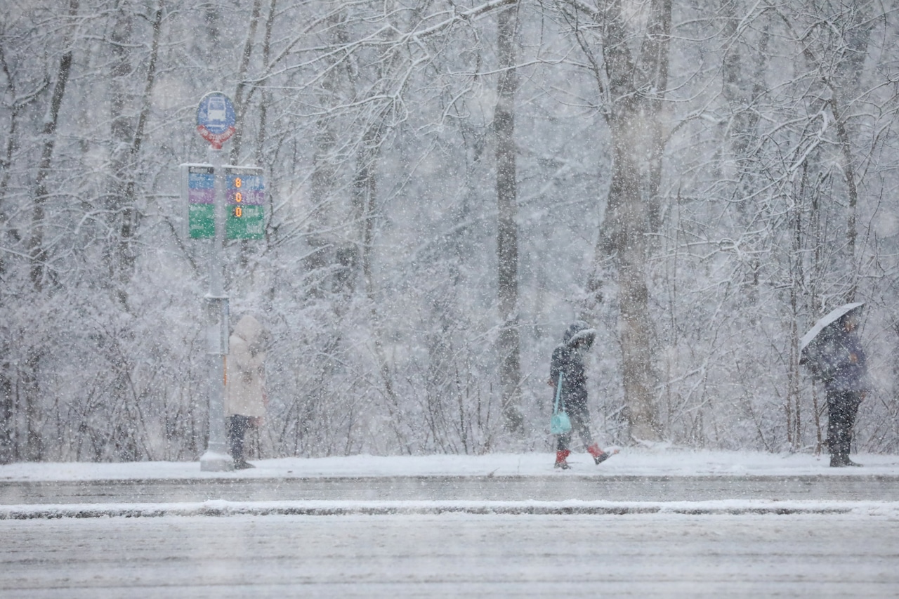
A winter weather advisory has been issued for Staten Island from 10 p.m. Saturday through 1 p.m. Sunday, with two to four inches of snow expected overnight, according to the National Weather Service. Precipitation will begin as rain or a rain/snow mix this evening before changing to all snow around midnight.
The snow will have the greatest impact from late Saturday evening through mid-morning Sunday when accumulation will occur more easily on untreated surfaces. The weather service expects the snow to taper off by around noon Sunday, with improving conditions in the afternoon. Motorists should prepare for slippery roads and reduced visibility during the overnight and morning hours.
Wind speeds will increase Sunday night into Monday, creating bitterly cold conditions. Wind chills are expected to drop below zero in some areas, with temperatures Monday reaching only around 30 degrees — well below normal for this time of year. The winds will gradually diminish Monday night, though wind chills will remain in the single digits to teens.
The cold snap will begin to ease Tuesday night as temperatures moderate. By Wednesday through Thursday, New York City will experience a warming trend with high temperatures climbing to the upper 40s to lower 50s by Thursday. The next chance of precipitation comes Thursday into Thursday night, but this will be in the form of rain with no snow or hydrological impacts anticipated.
A draft of this story was generated using AI. It was reviewed, edited and approved by Advance/SILive.com staff.