
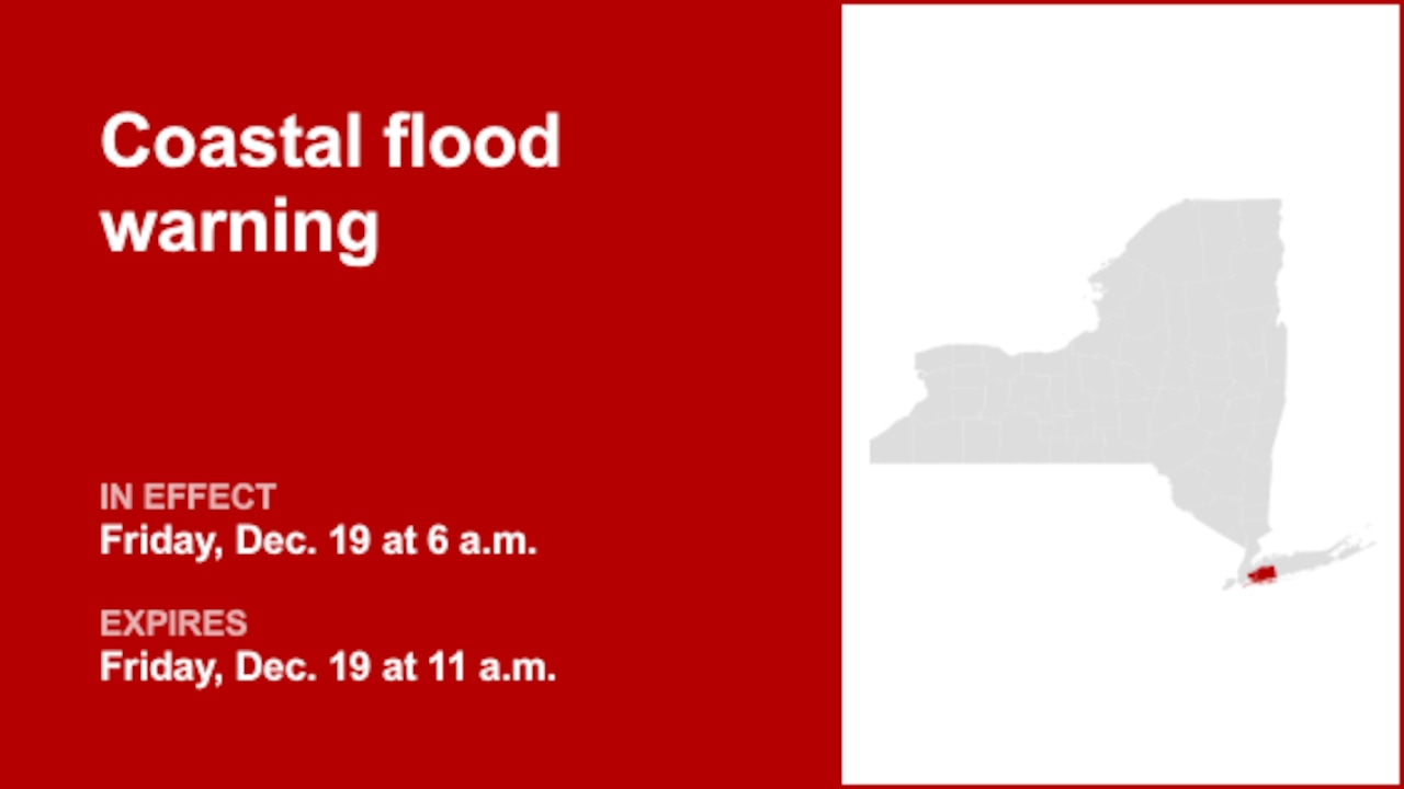
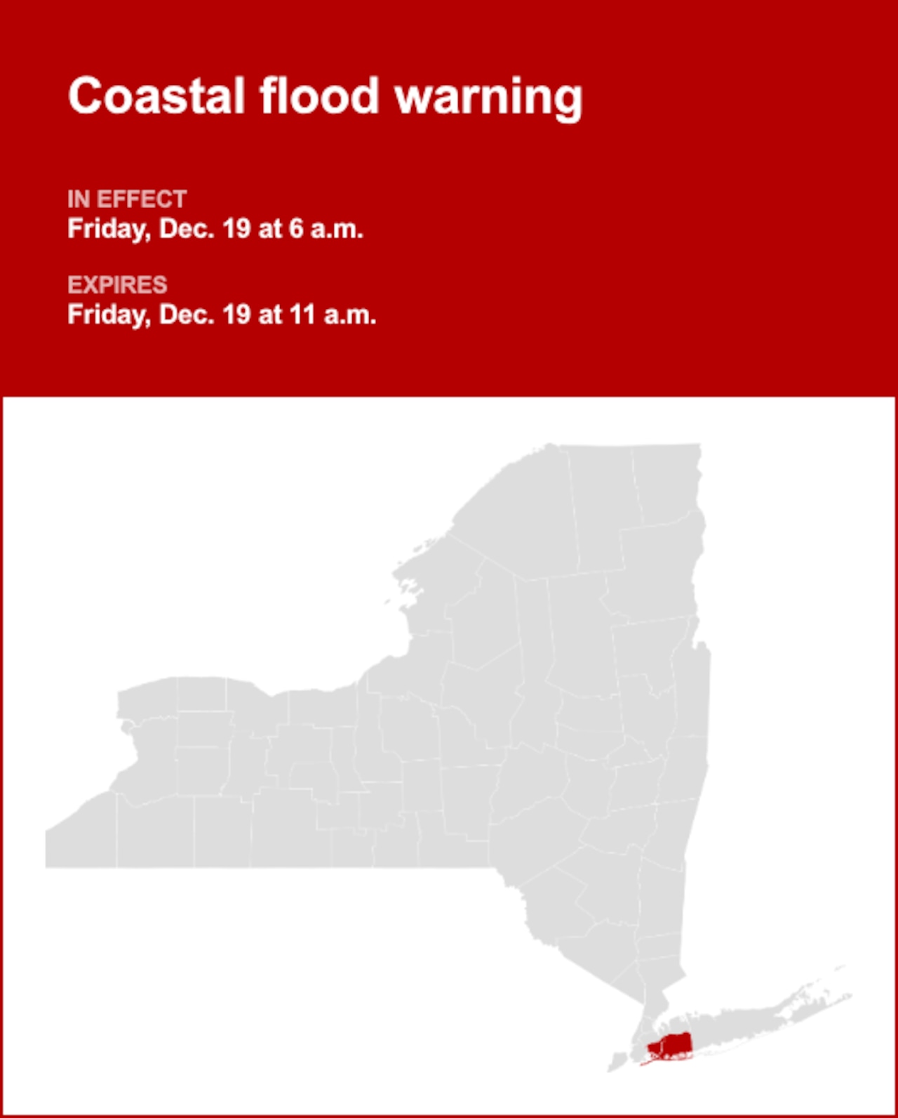
A coastal flood warning was released by the National Weather Service on Thursday at 1:10 p.m. valid for Friday between 6 a.m. and 11 a.m. for Queens and Nassau County.
“1 1/2 to 2 1/2 ft of inundation above ground level expected in vulnerable areas near the waterfront and shoreline,” adds the weather service. “Heavy rain during the time of high tide may exacerbate flood impacts. This forecast is leaned towards a higher end flood impact scenario, to account for slower trend in cold frontal passage and potential coincidence with heavy rain.”
“Widespread minor to moderate flooding of vulnerable areas near the waterfront and shoreline. Expect 1 1/2 to 2 1/2 feet of inundation above ground level in low-lying, vulnerable areas. This will result in numerous road closures and cause widespread flooding of low-lying property including parking lots, parks, lawns and homes/businesses with basements near the waterfront. Vehicles parked in vulnerable areas near the waterfront will likely become flooded. Flooding will also extend inland from the waterfront along tidal rivers and bays,” describes the weather service. “Take the necessary actions to protect flood-prone property. If travel is required, do not drive around barricades or through water of unknown depth.”
 Understanding the differences between advisories, watches, and warningsFlash flood warning: Take action!
A flash flood warning is issued when a flash flood is either imminent or already occurring. In flood-prone areas, it’s crucial to move immediately to higher ground. A flash flood is a sudden and violent inundation that can develop within minutes to hours, and it can even happen in areas not currently experiencing rainfall.
Flood warning: Take action!
A flood warning is declared when flooding is on the verge of happening or is already underway.
Flood advisory: Be aware:
A flood advisory is released when flooding is not expected to reach a severity level necessitating a warning. Nonetheless, it can still cause considerable inconvenience and, without exercising caution, potentially lead to situations that threaten life and/or property.
Flood watch: Be prepared:
A flood watch is issued when conditions are favorable for flooding. It doesn’t guarantee that flooding will occur, but it signifies that the possibility exists.
When floods strike: Guidelines from the weather service for your protection
In flood-prone regions or while camping in low-lying areas, understanding and following the weather service flood safety guidelines can be a lifesaver:
Seek higher ground:
If you’re in a flood-prone area, or if you’re camping in a low-lying spot, move to higher ground as a first step.
Adhere to evacuation orders:
If local authorities issue an evacuation order, heed it promptly. Prior to leaving, secure your home by locking it.
Disconnect utilities and appliances:
If time permits, disconnect your utilities and appliances. This precaution minimizes electrical hazards during flooding.
Avoid basements and submerged areas:
Avoid basements or rooms submerged in water with electrical outlets or cords. Preventing electrical accidents is crucial.
Swift evacuation for your safety:
If you notice sparks or hear buzzing, crackling, snapping, or popping noises, evacuate immediately. Avoid any water that may be charged with electricity.
Stay away from floodwaters:
Never attempt to walk through floodwaters. Even just 6 inches of swiftly moving water can forcefully knock you off your feet.
Seek higher ground when trapped:
In the event you become trapped by moving water, make your way to the highest point available and contact emergency services by calling 911.
During periods of intense rainfall, the risk of flooding increases, particularly in low-lying and flood-prone areas. It is imperative to avoid driving through any water on the road, even if it seems shallow. According to the weather service, most cars can be swept away by just 12 inches of rushing water. Prioritize your safety by staying informed and prepared.