
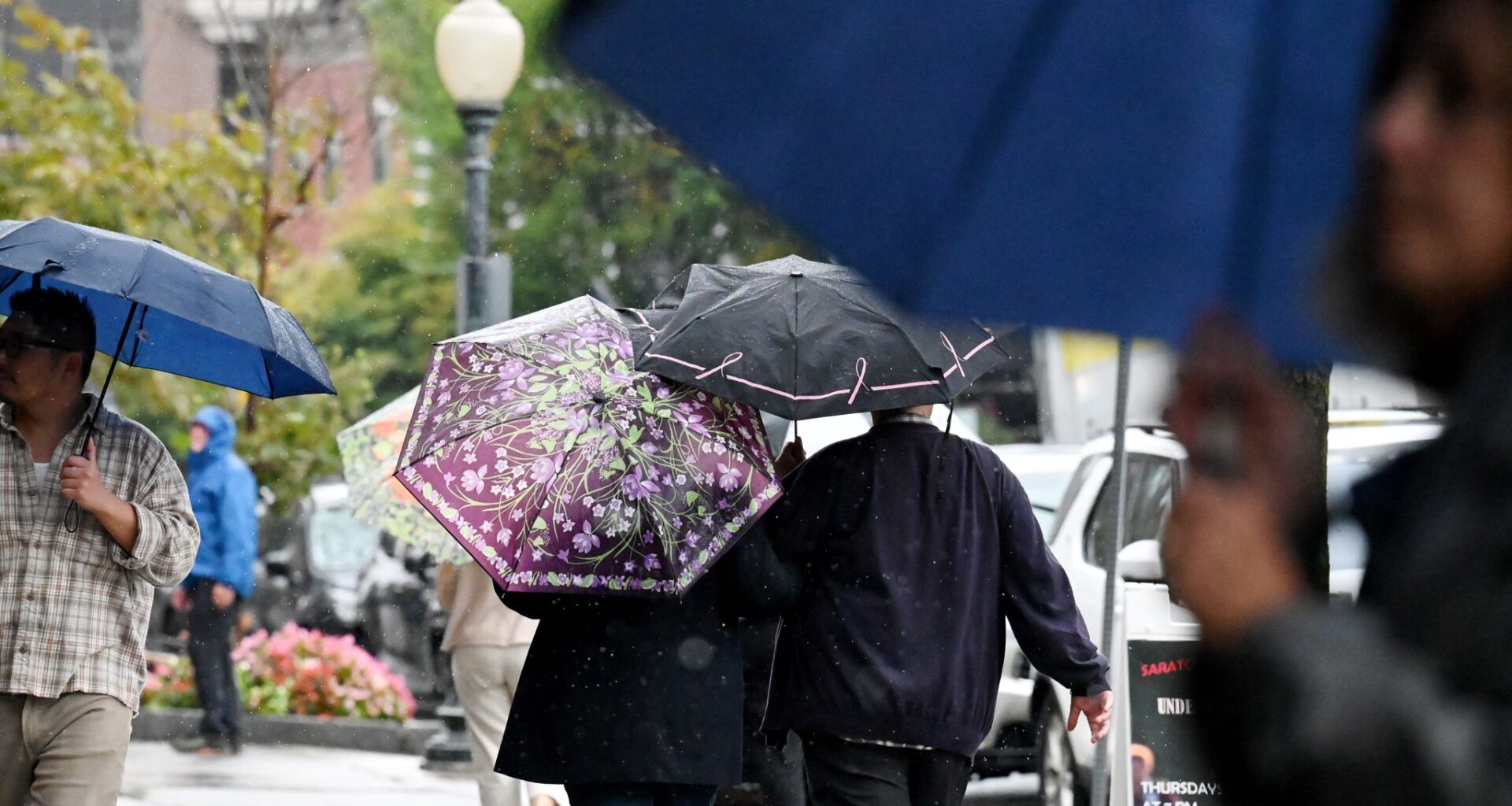
A Northeast Regional Climate Center analysis of September precipitation in the Northeast revealed that the vast majority of the region had a rainfall deficit last month.
Will Waldron/Times Union
After an overall dry end of summer and start to fall for New York and the Northeast, some significant rain finally fell this week for portions of the region.
New York had its eighth driest August and 28th driest summer on record. Albany was unusually dry this summer, too, reporting its third driest August and 27th driest summer on record. Did the recent rain help alleviate the drought conditions that were exacerbated in September?
Article continues below this ad
Drought deepened during summer, early fall
Drought conditions in the Northeast expanded and intensified rapidly over the summer. Less than 1% of the region was experiencing a moderate drought in early July, according to the U.S. Drought Monitor. Now nearly 63% of the Northeast is in at least a moderate drought.
More: Drought has muted this year’s leaf-peeping season, but pockets of brilliant colors remain
The dry pattern that we saw most of this summer spilled over into the first month of meteorological fall. A Northeast Regional Climate Center analysis of September precipitation in the Northeast reveals that the vast majority of the region had a rainfall deficit last month.
Article continues below this ad
Departure from normal rainfall for September.
Photo courtesy Northeast Regional Climate Center
Only four of the 35 major climate sites reported above-average rainfall for the month of September. That means nearly 89% of the sites received less rainfall than normal. For nine of the sites, their September precipitation ranked among the location’s 20 driest Septembers on record.
Rainfall totals from 8 a.m. Saturday through 8 a.m. Tuesday morning.
Photo courtesy National Weather Service
The first nor’easter of the season brought strong winds and heavy rain to portions of the Northeast. The storm whipped up wind gusts as high as 57 mph in Eatons Neck. More importantly, the nor’easter brought some much-needed rain to the region. The southeastern corner of the state, along with Long Island, reported rainfall amounts between 1 and 3 inches. Some spots in Suffolk County were soaked with more than 3 inches, including Centereach (3.02 inches), Commack (3.09 inches) and Port Jefferson Station (3.47 inches).
Article continues below this ad
Drought Eased Slightly For Most
The latest U.S. Drought Monitor report reveals that drought conditions diminished dramatically for the Capital Region, but only a slight improvement was seen overall at the state and regional levels.
Last week, nearly 97% of Albany County was in a moderate drought, level two out of five. The latest analysis shows that although the entire county is considered “abnormally dry,” none of it is currently in a moderate drought. Albany has reported 1.93 inches of rain for this month so far, compared to the average of 1.94 inches by this time of the month.
Drought conditions in New York as of Tuesday.
Photo courtesy U.S. Drought Monitor
At the state level, the drought improved a bit, but most of the state is still enduring unusually dry conditions. The percentage of the state experiencing at least a moderate drought has dropped by almost 5% compared to last week. The latest report shows 61.47% of New York is in at least a moderate drought, down from 65.97% last week. It should be noted that the area of the state experiencing a severe drought, level three out of five, has risen by nearly 3%, but the percentage of the state in an extreme drought, level four out of five, dropped by more than half.
Article continues below this ad
Drought conditions in the Northeast as of Tuesday.
Photo courtesy U.S. Drought Monitor
There was also some small improvement at the regional level. The percentage of the region experiencing at least moderate drought fell to 62.68% this week, down 1.46% compared to last week. The area of the region in a severe to extreme drought increased slightly over the past week.
While these overall improvements are welcomed, New York and the Northeast need a lot more rain to make a significant difference in drought conditions. The good news is that rain chances will ramp up late this weekend into early next week.
Live map: Real-time weather across New York
Temperature tracker: Is today’s weather normal?
Article continues below this ad
Interactive: Extreme weather risks across New York
Warmer weekend, then cooling off with more rain chances
After a frosty start for some on this Friday, bright October sunshine will prevail today. That sun will give way to some clouds by Saturday night. By late Sunday, clouds could yield some showers. The best chance of rain comes with a cold front moving through Sunday night.
The Global Forecast System Model’s total rainfall forecast through Tuesday.
Photo courtesy WeatherBELL Analytics
Computer models are suggesting most of New York should get between a half inch and just over 1 inch of rain in total from Sunday through Tuesday. The Capital Region is favored to get the lower end of that range right now, but this could change. The cold front coming through late this weekend will bring a cooler pattern for next week.
Article continues below this ad
The National Blend of Models’ daily high and low temperature forecast.
Photo courtesy WeatherBELL Analytics
The cooler pattern next week will actually knock temperatures back to around average for this time of the year. Highs may fail to climb above the 50s starting Wednesday and continue through at least the following weekend.
The Capital Region and Hudson Valley’s week ahead
Friday
Capital Region: Patch frost early, mostly sunny, highs in the upper 50s
Hudson Valley: Patchy frost early, sunny skies, highs near 60
Article continues below this ad
Friday night
Capital Region: Mainly clear, low in the mid-30s
Hudson Valley: Mainly clear, low in the mid to upper 30s
Saturday
Capital Region: Sunny start, becoming partly cloudy late, high in the lower 60s
Hudson Valley: Mostly sunny, clouds increase late, high in the mid-60s
Article continues below this ad
Saturday night
Capital Region: Mostly cloudy, low in the mid-40s
Hudson Valley: Mostly cloudy, low in the mid-40s
Sunday
Capital Region: Partly sunny, warmer, shower possible late, high near 70
Hudson Valley: Partly to mostly cloudy, showers possible late, high in the lower 70s
Article continues below this ad
Monday
Capital Region: Scattered showers mainly early, then partial clearing, high in the lower to mid-60s
Hudson Valley: Showers mainly early, partly to mostly cloudy, high in the mid-60s
Tuesday
Capital Region: Partly to mostly cloudy, a few showers possible, high in the lower to mid-60s
Hudson Valley: Cloud and sun mix, spotty showers possible, high in the lower to mid-60s
Article continues below this ad
Wednesday
Capital Region: Partly to mostly cloudy, a few showers possible, high near 60
Hudson Valley: Mostly cloudy, spotty afternoon showers, high in the lower 60s
Thursday
Capital Region: Partly to mostly cloudy, high in the upper 50s
Hudson Valley: Cloud and sun mix, high near 60
Article continues below this ad