
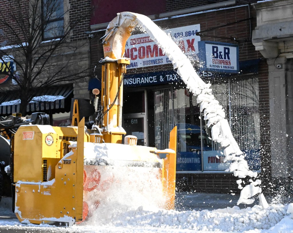
As Allentown records its snowiest January in 10 years, understanding why the Lehigh Valley has seen more storms means taking a 30,000-foot view at the band of strong winds that has blown severe weather into the region.
The jet stream, which blows through the upper reaches of the atmosphere, has dipped south of the region, picking up a stormier pattern of weather that combined with low temperatures to drop snow on the Lehigh Valley.
The jet stream regularly moves north and south, but its prolonged shift to the south this winter has had an impact.
“We’ve had the sufficient cold, and then the jet stream coincided with that … and that’s how we’ve had more snow this year compared to previous years,” said Joe DeSilva, a meteorologist at the National Weather Service’s forecast office in Mount Holly, New Jersey.
In recent years, the dominant storm track has been to the north of central and eastern Pennsylvania, so the Lehigh Valley has been in the “warm sector” of many systems and received plain rain or mixed-precipitation events, according to Kyle Elliott, director of the Weather Information Center at Millersville University.
“Last winter, snow-lovers were simply dealt a bad hand in terms of the storm track,” Eliott said in an email.
He said a historic winter storm dumped 8-12 inches of snow along the Gulf Coast from Jan. 21-22, 2025, but stayed too far south to bring any snow to our region. Last February, the storm track then shifted too far north, bringing a slew of sleet and freezing rain events to the Lehigh Valley.
“This year, the storm track has been more favorable for all-snow events across the region,” Eliott said. “Several systems have tracked through the mid-Atlantic states and exited the East Coast around the Delmarva Peninsula or Jersey coastline, and that’s essentially the ‘sweet spot’ for significant snowfall in the Lehigh Valley.”
Sea surface temperatures in the Pacific have a ripple effect on weather systems across the United States, and this year’s pattern seems closest to the 2013-14 winter, said Bobby Martrich, owner and meteorologist at the Lehigh Valley-based EPAWA Weather Consulting firm.
That winter saw one big storm in February and then a lot of “nickel and dime stuff” for the rest of the winter, a pattern that Martrich expects to repeat this season.
“We had our big storm last weekend. I’m not saying we can’t get another one of those, but I think it’s going to be more geared toward light-to-moderate events that just keep adding up through February,” Martrich said.
To date, 20.8 inches of snow have fallen in Allentown, which is well above the normal of 8.9 inches, according to weather service data.
Cold weather here to stay
Unusually warm weather in the northern Pacific Ocean this winter created a ridge of air over Alaska that forced the jet stream to move up and over that ridge and then flow back down toward the eastern United States, bringing cold air with it, Martrich said.
Bitterly cold air has also been forced into the Lehigh Valley as portions of the polar vortex, a swirl of low pressure and cold air that strengthens around the North Pole in the winter, have been pushed into southeastern Canada and northern New England, Elliott said.
The forces pushing polar air south have “also acted like an atmospheric traffic jam and allowed some storm systems to slow down and intensify along and just off the mid-Atlantic coastline, ultimately giving the Lehigh Valley some ‘bonus snows,’ ” Elliott said.
The low temperature heading into January’s final weekend had been an average of 17.4 degrees; the normal low for that time period is 21.9 degrees, weather service data states.
Temperatures across the region have dipped 10 to 20 degrees below average for the last two weeks, DeSilva said, and the weather service projects a 60%-70% chance that below average temperatures will continue through the first week of February.
Elliott said that while the “dangerously cold, Arctic air will relinquish its grip” on the region, temperatures will remain below average in the coming weeks.
“As a result, frozen precipitation will certainly be favored over ‘plain rain’ in the next one to two weeks, but just how much additional snow falls through the end of winter will also depend on the exact track of individual storm systems,” Elliott said. “There’s a large amount of uncertainty with regard to the forecast from the second half of February into March … but expect the unexpected in a winter like this!”
Martrich said he expects the below average temperatures to continue through mid-March.
“I don’t see anything that’s really going to disrupt this before and bring on an early spring,” Martrich said.