Snow flurries are possible across the Lehigh Valley on Tuesday night into Wednesday morning, but any accumulations are expected to be minimal and well south of the region.
Below-normal temperatures will persist throughout the week, with dangerously cold wind chills returning by the weekend, according to the National Weather Service forecast.
A weak system moving through the region Tuesday night will bring the best chance for snow south of the Pennsylvania Turnpike (Interstate 76/276) and Interstate 195, where a coating to one inch of accumulation is possible.
Areas further north may see only flurries, with no significant accumulation expected. The National Weather Service notes this system is moisture-starved, limiting overall snowfall potential. Snow should end by Wednesday morning with minimal travel impacts anticipated.
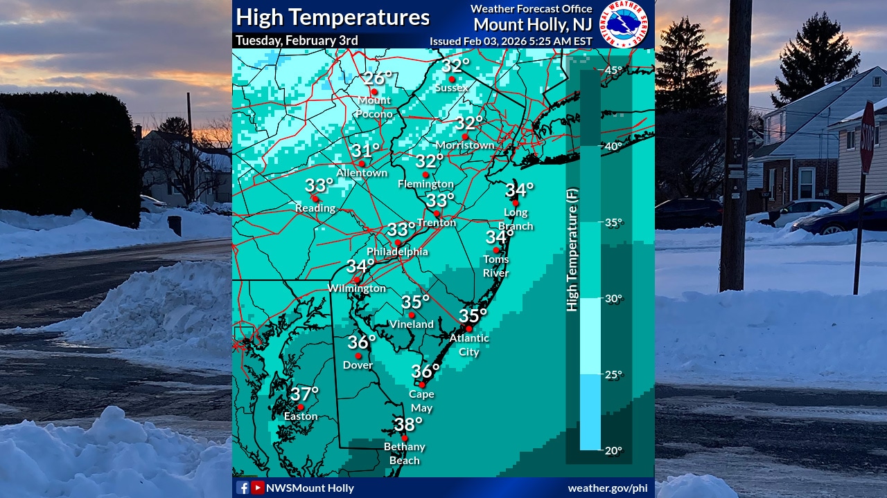
Temperatures will remain seasonably cold through the week, with highs generally in the mid-20s to low-to-mid 30s. Overnight lows will dip into the single digits. An Arctic front arrives Friday night, bringing another round of significantly colder air into the region.
The weekend and early next week will bring dangerously cold conditions, with highs dropping into the teens and 20s and lows ranging from single digits to as low as 5 degrees below zero across the region.
Wind chills will return to dangerous levels.
A second chance for light snow arrives Friday as a strong clipper system moves north of the region, with an associated Arctic front crossing the area. Light snow and snow squalls are possible beginning around daybreak and continuing into the early evening, though it’s too early for specific details on accumulation amounts.
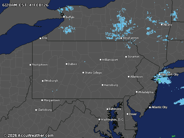
Current weather radar