
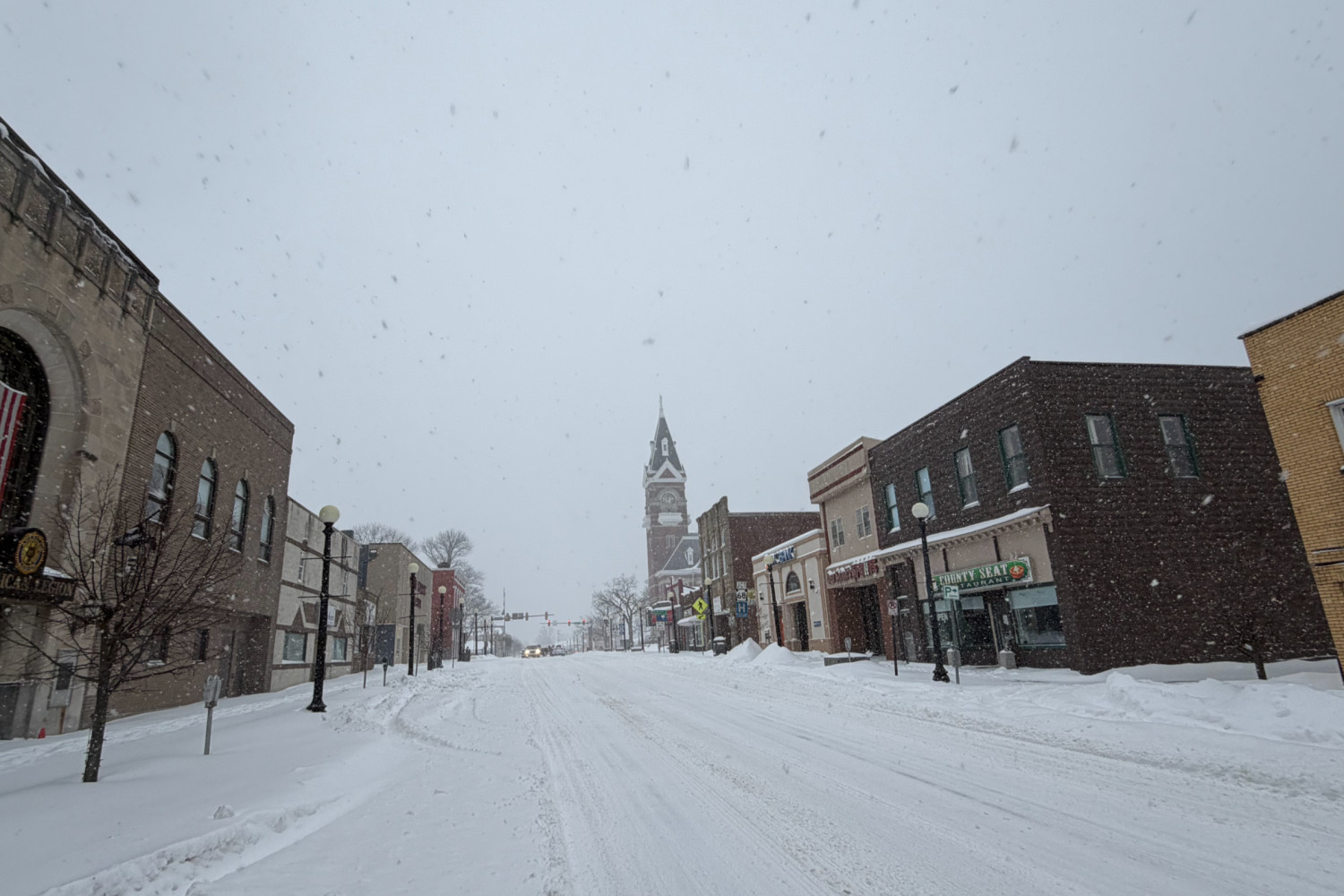
CLARION, Pa. (EYT) — The National Weather Service in Pittsburgh issued an extreme cold warning for several counties in western Pennsylvania, forecasting wind chills to drop as low as 30 below zero between 1 a.m. Saturday and 10 a.m. Sunday.
According to the weather service, the warning covers Clarion, Jefferson, Venango, Forest, Butler, and Armstrong counties. Cities included in the alert area are Clarion, Punxsutawney, Brookville, Oil City, Franklin, and Kittanning.
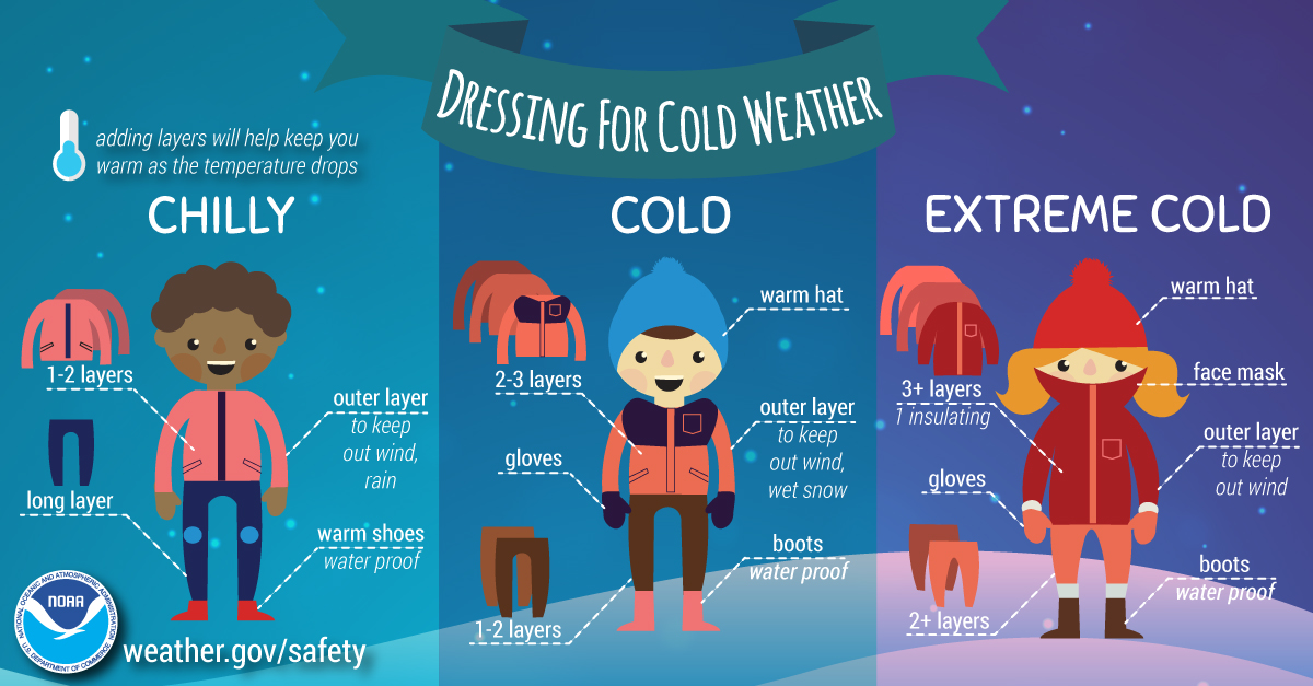
The National Weather Service reports that these cold conditions can cause frostbite on exposed skin in as little as 30 minutes. Officials advise residents to dress in layers including a hat, face mask, and gloves if they must go outside.
Snow is also expected to impact the region today. According to the forecast, snow is likely this afternoon with a possible accumulation of 1 to 2 inches. Snow showers remain likely tonight, mainly before 1 a.m., which could add less than a half inch of new accumulation.
Travel could be impacted by these conditions. Forecasters expect west winds around 6 mph this afternoon, increasing to northwest winds between 6 and 14 mph tonight. Wind gusts tonight could reach as high as 32 mph, creating wind chill values as low as 22 below zero and the possibility of snow squalls.
Cold Weather Safety Tips
Wear multiple layers. Use several layers of loose-fitting, lightweight clothing to trap body heat.
Protect your extremities. Wear a hat, face mask, and gloves to prevent heat loss and protect skin.
Stay dry. Wet clothing loses its insulation value and can lead to faster heat loss.
Limit outdoor time. If you must go outside, keep your trips short to minimize the risk of frostbite.
Check on others. Ensure elderly neighbors and pets have adequate warmth and shelter.
Know the signs. Watch for symptoms of frostbite, such as pale or numb skin, and hypothermia, which includes confusion and shivering.
The hazardous weather outlook remains in effect for northwest and western Pennsylvania through the weekend.