
Praise be: After 17 consecutive days of below freezing temperatures, the National Weather Service finally has some good news.
“It’s gonna be a warm day today,” according to meteorologist Tim Cermak.
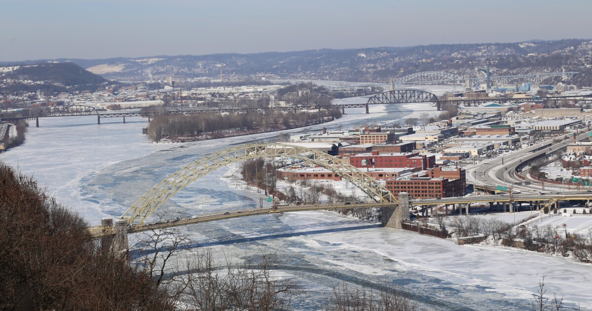
Not warm warm, but temperatures are forecast to reach the mid-to-upper 40s in Pittsburgh. We can also expect some (but not all) of the snow to melt.
“We’ll see some sun, at least through morning until the clouds move in this afternoon,” Cermak said. “With temperatures climbing up into the mid and upper forties, and breezy conditions, this is just about perfect weather you can get to help melt snow.”
The cold streak has been historic:
The 17-day stretch of consecutive below-freezing days has been the Pittsburgh region’s longest stretch since 2003.It’s tied for the 12th-longest stretch all-time – that’s since 1874.The region saw 14 days with at least seven inches of snow depth measured at the National Weather Service office in Moon Township. That stretch is the longest since 2010.The closest we came to setting an all-time record in the cold division is this: 25 days with overnight low temperatures below 15 degrees. In that category, our cold snap ranks second all-time. The longest streak was in 1981.
Today’s respite will, however, be brief. Clouds will move in this afternoon and, with them, light rain, followed by … another cold front.
High temperatures tomorrow will be right around freezing, and will remain there for the rest of the week.
You don’t need us to tell you it’s been cold, but here are some stats that help put into context how cold we’ve been so far in 2026: pic.twitter.com/Iksowxgisy
— NWS Pittsburgh (@NWSPittsburgh) February 9, 2026