
PITTSBURGH, PA — Western Pennsylvania has experienced winter’s wrath over the past few months, but one forecasting service believes that the worst is over.
According to State College-based AccuWeather, no additional outbreaks of severe to extreme cold are expected for the rest of the season. That news should come as a relief to Pittsburgh-area residents who just endured 20 consecutive days of sub-freezing weather until temperatures climbed into the low 50s on Tuesday.
But the warmer weather could trigger new weather-related woes for the region.
Although colder weather arrived Tuesday night, it will not last long. Temperatures will climb into the low 40s for the weekend and are expected to be in the mid to upper 40s early next week.
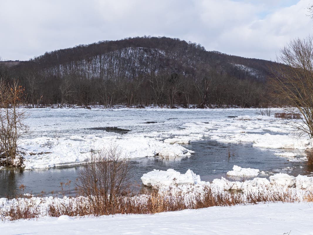
According to AccuWeather, ice jams could be triggered earlier than usual due to rising temperatures and melting snow and ice from the Plains to the Ohio Valley – including parts of the Mississippi and Ohio Rivers in the coming weeks.
That’s not good.
According to the Federal Emergency Management Agency, rivers can develop relatively thick ice covers during the winter and cause ice jams that can contribute significantly to flood hazards. FEMA says ice jam flooding tends to be local and highly site specific.
The ice on the Allegheny River currently is so thick that the Coast Guard last week closed a 72-mile section of it to all traffic through March 1. The Ohio and Monongahela rivers currently remain open.