
Milder & dry today; Chance of light rain/snow mix Sunday in South-Central Pennsylvania
It’s a milder day, in the mid to upper 40s, for Valentine’s Day! Light rain develops Sunday afternoon and may mix with snow as temperatures drop towards evening. The is a minor impact system with temperatures likely above freezing.
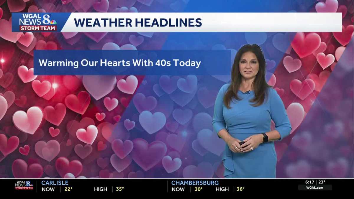
TEAM FORECAST WITH METEOROLOGIST MARYELLEN PANN. WELL, HOPEFULLY YOU CAN TAKE YOUR SWEETHEART OUT TODAY TO ENJOY THE NICE WEATHER HEADED OUR WAY. WE’RE TALKING ABOUT 40S. WE HAVEN’T HIT 40 DEGREES SINCE JANUARY 22ND. NOT ONLY THAT, WE HAVEN’T BEEN ABOVE AVERAGE SINCE JANUARY 22ND, SO IT’S GOING TO FEEL QUITE NICE OUT THERE TODAY WITH TEMPERATURES CLIMBING INTO THE MID 40S. SECOND HALF OF THE WEEKEND NOT LOOKING AS NICE. WE HAVE LIGHT RAIN DEVELOPING IN THE AFTERNOON WHICH WILL MIX WITH SOME SNOW, ESPECIALLY AS TEMPERATURES FALL IN THE EVENING AND PART OF THE OVERNIGHT PERIOD. THEN MILDER TEMPERATURES RETURN NEXT WEEK, BUT WE ARE KEEPING AN EYE ON A COUPLE SYSTEMS THAT COULD BRING MORE SHOWER CHANCES. STORM TEAM LIVE RADAR NETWORK WE DID HAVE SHOWING SOME FLURRIES THAT FELL HERE THE LAST COUPLE OF HOURS DUE TO A LITTLE DISTURBANCE MOVING THROUGH. IT IS CONTINUING TO MOVE TO THE SOUTHEAST AND DWINDLING. SO THE CLOUDS THAT ARE AROUND WILL SLOWLY DECREASE. SO HERE’S A LOOK AT THE PROLONGED COLD STRETCH 23 DAYS. WE HAVE HAD TEMPERATURES BELOW AVERAGE. LAST TIME WE WERE ABOVE AVERAGE WAS JANUARY 22ND. WE HAD A HIGH OF 47 AND WE’RE HEADED FOR THE MID 40S TODAY. RIGHT NOW IT’S 27 IN LEWISTOWN, 30 IN CHAMBERSBURG, 24 IN CARLISLE. WE HAVE 24 IN LEBANON AND LANCASTER AT 19 DEGREES. SO YOUR NEWS EIGHT STORM TEAM FORECAST TODAY CALLS FOR PARTLY SUNNY SKIES THIS MORNING WITH TEMPERATURES AROUND 26 AT 9:00. AND THEN WE’RE HEADED FOR HIGHS IN THE MID 40S THIS AFTERNOON WITH SUNSHINE AND A FEW CLOUDS AROUND. VERY PLEASANT DAY TO GET OUTDOORS AND ENJOY SOME GOOD MELTING OF THE SNOW THIS EVENING. PARTLY CLOUDY. WINDS ARE LIGHT TO CALM. TEMPERATURES THOUGH. FALL QUICKLY ONCE THAT SUN SETS INTO THE UPPER 30S BY 8:00 OVERNIGHT. TONIGHT, MOSTLY CLOUDY WITH NEAR AVERAGE LOWS IN THE MID TO UPPER 20S AND TOMORROW IT’S GOING TO BE AN OVERCAST DAY WITH LIGHT RAIN DEVELOPING IN THE AFTERNOON. TRANSITIONING AND MIXING WITH OR MIXING I SHOULD SAY WITH SOME SNOW AND TEMPERATURES RIGHT AROUND 40 DEGREES. SO SOME AREAS IN THE LOW 40S. SO IT IS GOING TO BE MILD AND NEAR AVERAGE FOR TOMORROW WITH AN EASTERLY WIND. SO LET’S BREAK IT DOWN FOR YOU. THIS IS GOING TO BE A LOW IMPACT STORM. I WANT TO EMPHASIZE THAT AREAS SOUTH AND EAST OF I-81 TOMORROW AFTERNOON AND EVENING, THAT’S THE STORM TRACK. THAT’S THE AREA THAT’S GOING TO SEE THE BEST CHANCE FOR THIS LIGHT RAIN AND RAIN MIX. IT STARTS AS RAIN AND THEN MIXES WITH SOME SNOW AS IT’S WINDING DOWN. THERE IS THE POTENTIAL FOR SOME MINOR ACCUMULATIONS. I’M TALKING A COATING UP TO AN INCH WITH SOME ISOLATED AMOUNTS A LITTLE BIT HIGHER THAN THAT IN SOME OF THE HIGHER ELEVATIONS. SO HIGHWAYS ON AND OFF RAMPS WILL BE WET TO POSSIBLY SLUSHY SIDE STREETS WET TO SLUSHY, AND THEN SOME MINOR COATING WITH THAT SNOW MIX AND THE NEIGHBORHOOD STREETS AGAIN, WET TO SLUSHY TO MINOR COATING. THIS WOULD BE MAINLY IN THE EVENING ON SUNDAY. THAT’S WHAT YOU CAN EXPECT. SO THE SYSTEM IS STILL OFF TO OUR SOUTHWEST ACROSS OKLAHOMA. THIS AREA OF LOW PRESSURE IS GOING TO TRACK TO THE EAST AND THEN OFF THE DELMARVA COAST BY EARLY MONDAY MORNING. SO HERE’S A LOOK AT PREDICTOR. PLENTY OF SUNSHINE TODAY. JUST SOME PASSING CLOUDS FROM TIME TO TIME. CLOUDS WILL INCREASE OVERNIGHT TONIGHT. AND WE SEE THAT SHOWER ACTIVITY MOVING IN AFTER THE NOON HOUR. THIS IS 730 IN THE MORNING. SO IF YOU HAVE PLANS TO HEAD OUT TO CHURCH SERVICES IT SHOULD BE DRY. IT’S NOT UNTIL AFTER THE NOON HOUR WE START TO SEE THE SHOWERS SPREADING IN ACROSS THE AREA. YOU CAN SEE TEMPERATURES TEMPERATURES HERE AS I PLOT. THE NUMBERS ARE IN THE LOW 40S. SO IT DOES START OUT AS RAIN, BUT THEN TRANSITIONS AS THOSE TEMPERATURES FALL LATE AFTERNOON INTO THE EVENING INTO THE 30S. WE DO STAY ABOVE FREEZING, BUT AS THE TEMPERATURES FALL, WE START TO SEE THAT MIXING TAKE PLACE AND MINOR ACCUMULATIONS. ONCE THE SYSTEM IS MOVING ON OUT OF HERE. AND THEN MONDAY WE’LL SEE DECREASING CLOUDS WITH DRY CONDITIONS FOR THE START OF OR FOR PRESIDENT’S DAY, I SHOULD SAY. SO. HERE’S A LOOK AT SNOWFALL. A COATING UP TO AN INCH, MAYBE SOME ISOLATED AMOUNTS A LITTLE BIT HIGHER THAN THAT IN THE HIGHER ELEVATIONS, 42 FOR TOMORROW, 46 WITH DECREASING CLOUDS ON MONDAY FOR PRESIDENTS DAY, TEMPERATURES IN THE UPPER 40S TUESDAY. THE NEXT SYSTEM COMES IN WITH SOME SHOWERS, MAYBE A LITTLE
Milder & dry today; Chance of light rain/snow mix Sunday in South-Central Pennsylvania
It’s a milder day, in the mid to upper 40s, for Valentine’s Day! Light rain develops Sunday afternoon and may mix with snow as temperatures drop towards evening. The is a minor impact system with temperatures likely above freezing.

Updated: 6:40 AM EST Feb 14, 2026
A few flurries are around early this morning then clouds decrease. There is a wide range of temperatures from teens to near 30 degrees. Expect a mix of sun and a few clouds with milder temperatures. Highs will reach the mid to upper 40s, which is a few degrees above average. This will be the first time highs have been above average since January 22!Clouds increase tonight, and lows are close to seasonable average in the mid to upper 20s. Sunday begins dry and cloudy. Highs top out in the low 40s. An area of low pressure will pass mainly to our south but is trending north on recent models. It will bring a chance for light rain after the noon hour, which will transition to light rain mix to snow to parts of the Susquehanna Valley. Overall impacts from the storm look low at this time since temperatures will be above freezing for most of the day. A coating up to 1 inch is possible. Isolated amounts in higher elevations may exceed an inch but stay below 2 inches. The rain/snow will move out early Monday morning. The rest of President’s Day is dry with decreasing clouds and highs in the low to mid 40s. Next week, temperatures stay above average all week, reaching the mid-to-upper 40s. Overnight lows will also be milder, in the 30s most days. A chance of rain showers is in the forecast Wednesday into Thursday and Friday into Saturday. Have a wonderful Valentine’s Day!
A few flurries are around early this morning then clouds decrease. There is a wide range of temperatures from teens to near 30 degrees.
Expect a mix of sun and a few clouds with milder temperatures. Highs will reach the mid to upper 40s, which is a few degrees above average. This will be the first time highs have been above average since January 22!
Clouds increase tonight, and lows are close to seasonable average in the mid to upper 20s.
Sunday begins dry and cloudy. Highs top out in the low 40s. An area of low pressure will pass mainly to our south but is trending north on recent models. It will bring a chance for light rain after the noon hour, which will transition to light rain mix to snow to parts of the Susquehanna Valley. Overall impacts from the storm look low at this time since temperatures will be above freezing for most of the day. A coating up to 1 inch is possible. Isolated amounts in higher elevations may exceed an inch but stay below 2 inches.
The rain/snow will move out early Monday morning. The rest of President’s Day is dry with decreasing clouds and highs in the low to mid 40s.
Next week, temperatures stay above average all week, reaching the mid-to-upper 40s. Overnight lows will also be milder, in the 30s most days.
A chance of rain showers is in the forecast Wednesday into Thursday and Friday into Saturday.
Have a wonderful Valentine’s Day!