
Breezy & cooler for Wednesday, remaining seasonably cool into the weekend across south-central Pennsylvania
High temperatures will reach the upper 50s & low 60s this afternoon, with wind gusts of up to 25-30 mph. Rain chances remain slim this week until we get to the end of the 10-day
COOL AND BREEZY IS GOING TO BE THE THEME AS WE GO THROUGH NOT ONLY THE REST OF THIS AFTERNOON, BUT ALSO INTO THE REST OF THE WORKWEEK. SO THAT’S WHAT WE’LL BE EXPECTING FOR THE NEXT FEW DAYS. GETTING INTO THE WEEKEND LOOKING LIKE THE SAME STORY, GOING TO BE DRY. A BIT CALMER AS WELL. BUT THEN ONCE WE GET INTO THE LATE NEXT WEEK, WE ARE LOOKING AT A BIT OF AN UNSETTLED PATTERN, ESPECIALLY CLOSER TOWARDS HALLOWEEN. WE ARE STARTING TO SEE A BIT OF A CHANCE OF A SHOWER OR TWO AS WE GET INTO LATER IN THE TEN DAY, BUT YOU CAN SEE OVER LEBANON RIGHT NOW. MOSTLY CLOUDY CONDITIONS, OTHER AREAS SEEING MORE SUNSHINE THAN OTHERS. WE’RE RIGHT AROUND 58 DEGREES WITH THE WEST SOUTHWESTERLY BREEZE RIGHT AROUND 13MPH. SO THE REST OF THE DAY TODAY LOOK FOR A MIX OF SOME SUN AND CLOUDS WITH THE BREEZY AND COOLER CONDITIONS PERSISTING, YOU CAN SEE SOME AREAS COULD BE GUSTING TO 25MPH. TODAY, 58 TO 62 DEGREES FOR OUR TEMPERATURE. HIGHS OR AFTERNOON TEMPERATURES GETTING INTO TONIGHT 42 TO 46 DEGREES WITH PARTLY CLOUDY AND SEASONABLE CONDITIONS. GOT A 5 TO 10 MILE PER HOUR SOUTH WESTERLY BREEZE, THEN PARTLY SUNNY, BREEZY AND COOL ONCE AGAIN FOR TOMORROW. ALMOST A RINSE AND REPEAT AS WE GET INTO TOMORROW AFTERNOON. TEMPERATURES INTO THE MID TO UPPER 50S COULD HIT THAT 60 DEGREE MARK FOR THE AREA TOMORROW AND FOR YOUR FRIDAY. PARTLY SUNNY, COOL AND LIGHTER WINDS OUT OF THE NORTHWEST 56 TO 60 DEGREES. IN TERMS OF RAIN CHANCES. NO RAIN CHANCES. VERY VERY SLIM TO NO RAIN CHANCE. AS WE GET INTO THE REST OF THE DAY TODAY, GETTING INTO OUR SUNDAY, MOST AREAS ARE GOING TO BE STAYING DRY. WEATHER AND HEALTH FOR THE DAY TODAY. LOW POLLEN LEVELS, LOW MOLD LEVELS, AIR QUALITY IS GOOD, UV INDEX IS MODERATE. GOT ABOUT A 40 MINUTE BURN TIME FOR THE AFTERNOON. TEMPERATURES INTO THE 50S FOR THE MAJORITY OF THE AREA, 61 DEGREES. WE’RE STILL SITTING AT FOR GETTYSBURG AT THIS TIME, BUT SUSTAINED WINDS. THEY’RE COMING OUT OF THE SOUTHWEST, I’D SAY BETWEEN 10 AND 15MPH FOR MOST AREAS. GOT A 17 MILE PER HOUR BREEZE IN THE CITY, 18 MILE PER HOUR BREEZE IN LEWISTOWN, YOU CAN SEE STORM TEAM LIVE RADAR NETWORK. WE ARE SEEING A LITTLE BIT OF SOME SCATTERED UPPER LEVEL SHOWER ACTIVITY, NOT GETTING ANY RAIN REPORTS THOUGH ON THE SURFACE LEVEL OR ON THE GROUND. JUST REALLY. THAT’S ALL THANKS TO A DISTURBANCE THAT’S OFF TOWARDS OUR NORTHWEST. AND I REALLY THINK THAT WE’RE GOING TO BE REMAINING DRY AS WE GET INTO THE REST OF THE AFTERNOON AND EVEN INTO THE OVERNIGHT PERIOD, BUT STILL REMAINING BREEZY AS WE GET INTO OUR THURSDAY MORNING. ALSO, OUR THURSDAY AFTERNOON, JUST REALLY LOOKING AT A MIX OF SOME SUN AND CLOUDS. SEE, A BIT OF A COLD FRONT IS OFF TOWARDS OUR NORTHWEST. THAT’S WHAT’S HELPING TO REALLY INITIATE SOME OF THAT SHOWER ACTIVITY TOWARDS NORTHWESTERN PENNSYLVANIA. BUT THE MAJORITY OF US, WE’RE GOING TO BE STAYING DRY WITH SOME PARTLY SUNNY CONDITIONS FOR THE NEXT FEW DAYS. NOW, WE’RE STILL TRACKING THE TROPICS. TROPICAL STORM MELISSA, NOW IN THE CARIBBEAN SEA. IT IS ANTICIPATED TO GROW AND INTENSIFY TO A CATEGORY ONE, THEN A CATEGORY TWO, AND EVENTUALLY A CATEGORY THREE HURRICANE. BY THE TIME YOU MAKE IT TO THE SECOND HALF OF THE WEEKEND, ESPECIALLY FOR SUNDAY MORNING. BUT BACK HOME HERE WE’RE LOOKING AT PARTLY SUNNY CONDITIONS, A LITTLE BIT MORE CLOUD COVER AS WE GET INTO OUR SUNDAY, BUT YOU CAN SEE WE’RE CONSISTENTLY INTO THE UPPER 50S, LOWER 60S FOR THE NEXT SEVERAL DAYS. THE NEXT BEST CHANCE OF SHOWERS, IS GOING TO BE WEDNESDAY AND
Breezy & cooler for Wednesday, remaining seasonably cool into the weekend across south-central Pennsylvania
High temperatures will reach the upper 50s & low 60s this afternoon, with wind gusts of up to 25-30 mph. Rain chances remain slim this week until we get to the end of the 10-day

Updated: 1:00 PM EDT Oct 22, 2025
In the wake of the cold front, afternoon high temperatures head back to the upper 50s for the rest of the week. Each day features partly sunny skies. Overnight lows will trend into the 30s & 40s, with the coldest lows late week. We are still in the growing season in many counties, so that we may be dealing with frost concerns.Winds may gust to around 25-30 mph on Wednesday from the west, as well as on Thursday. The wind on Friday will be a bit calmer with gusts around 20 mph, but still seasonably cool with highs in the 50s.The weekend is looking mainly dry. Highs are uniform around 60 degrees both days. More clouds and a slim chance of a few showers are possible on Sunday. Most of the day is good to get outside.Weather looks quiet and cooler than average to start next week as high pressure dominates our weather pattern Monday and Tuesday. Unfortunately, it does not last much longer.An unsettled pattern begins to set up mid to late next week. Rain chances are likely for a couple of days with several fronts moving through the area. Those planning to trick or treat around Halloween should have a backup plan for showers next Friday evening. We’ll fine-tune the forecast as we get closer. Have a great rest of your day!~ Ryan
In the wake of the cold front, afternoon high temperatures head back to the upper 50s for the rest of the week. Each day features partly sunny skies. Overnight lows will trend into the 30s & 40s, with the coldest lows late week. We are still in the growing season in many counties, so that we may be dealing with frost concerns.
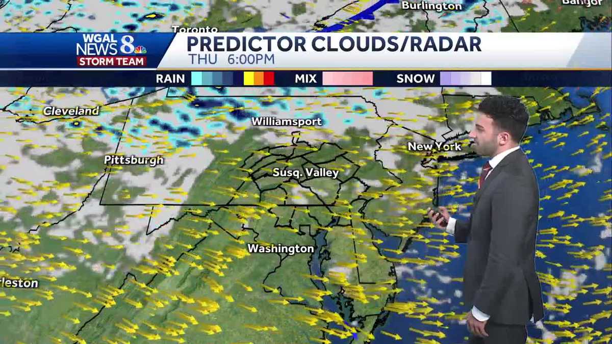
Winds may gust to around 25-30 mph on Wednesday from the west, as well as on Thursday. The wind on Friday will be a bit calmer with gusts around 20 mph, but still seasonably cool with highs in the 50s.
The weekend is looking mainly dry. Highs are uniform around 60 degrees both days. More clouds and a slim chance of a few showers are possible on Sunday. Most of the day is good to get outside.
Weather looks quiet and cooler than average to start next week as high pressure dominates our weather pattern Monday and Tuesday. Unfortunately, it does not last much longer.
An unsettled pattern begins to set up mid to late next week. Rain chances are likely for a couple of days with several fronts moving through the area. Those planning to trick or treat around Halloween should have a backup plan for showers next Friday evening. We’ll fine-tune the forecast as we get closer.
Have a great rest of your day!
~ Ryan