
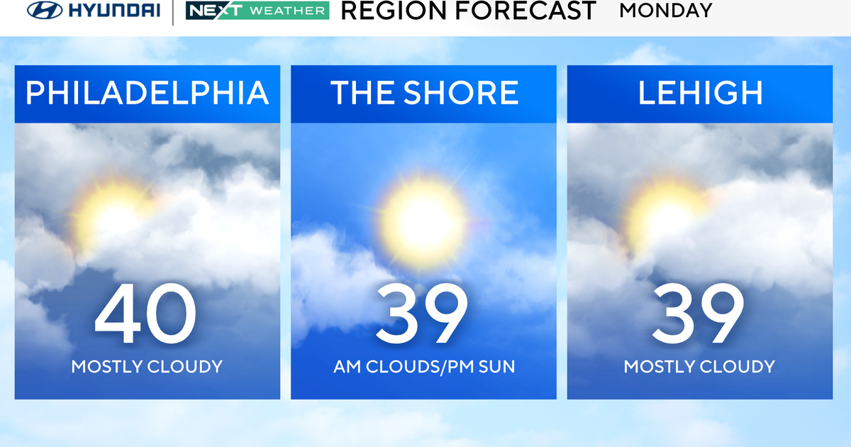
Light coats and hoodies will be needed Monday in the Philadelphia area as the temperatures slowly rise from freezing to the low 40s.
And you can ditch the sunglasses because it will be mainly cloudy. Be careful of any slick spots due to light snow during the overnight hours Sunday night into Monday morning.

CBS News Philadelphia
NEXT big changes
Finally, a week that will see MOST of the hours (including nighttime) at or above freezing.
In addition, we’re tracking rain chances beginning on Wednesday and going each day into the weekend. It’s not all periods and not a ton, but rain will be likely at times this week, so keep the umbrella handy.
Washing the car? Do it early in the week because once the roads get wet, the spray will mess it up again quickly. It would be a good idea though, as your car is likely covered in salt and brine.
Our snow depth streak continues with now 22 straight days with both 1+ and 2+ inches of snow on the ground and counting. The all-time record is 30 days.

CBS News Philadelphia
Sick of winter?
Meteorological spring is in 13 days on March 1, and astronomical spring — aka the vernal equinox — is in 32 days on March 20.
Here’s your 7-day forecast:

CBS News Philadelphia
Monday/Presidents Day: Mostly cloudy. High 40, low 30.
Tuesday: Partly sunny. High 50, low 32.
Wednesday: Chance of rain. High 48, low 37.
Thursday: Night rain. High 47, low 39.
Friday: Chance of rain. High 48, low 36.
Saturday: Chance of rain. High 47, low 39.
Sunday: Mostly cloudy. High 42, low 35.
More from CBS News