
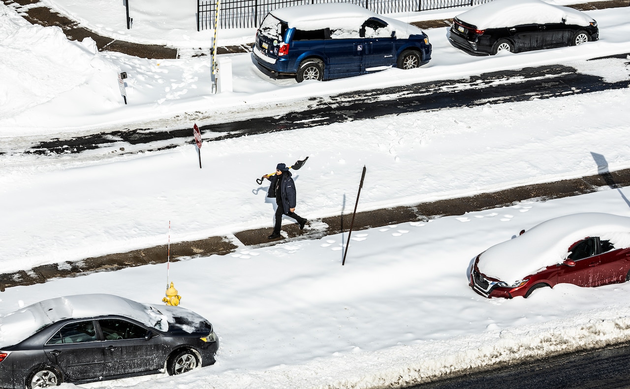
Snow is coming to the Keystone State again.
As the groundhog’s recent prediction made clear, winter is not going anywhere, as a winter weather mix will make its way through Pennsylvania starting on Saturday.
Forecasts from AccuWeather and the U.S. National Weather Service in State College predict that Pennsylvania will be hit with snow and rain.
U.S. National Weather Service State College meteorologist Matthew Teare said that although temperatures won’t be as frigid as they were during Pennsylvania’s last snowstorm, there’s still a chance of snow.
“[Sunday is] where models have been suggesting some kind of snow event,” Teare said. “Temperatures largely around freezing, so not as cold as what we’ve seen, at least with the previous major winter storm.”
Much of the potential for heavy snow is expected in northern Pennsylvania and along the Great Lakes. These areas could start to see snowfall as early as Saturday.
Teare also said that as the coastal storm develops on Sunday, areas east of Harrisburg could see a higher chance of additional snow.
“Especially East of I-95, that’s closer to where the storm is expected to develop,” Teare said. “That’s where the potential for heavier snow would be.”
As for the Harrisburg are, there is a chance of some snow, but forecasts are still uncertain about whether it will be a light dusting or something more plowable. With the forecast predicting only freezing temperatures, this snowstorm may melt faster than the last.
“We think that temperatures would be around freezing during the time of the storm, so 32 degrees,” Teare said. “Snowfall totals are still to be determined, but I would expect, at least, the potential for snow showers or a period of steadier snow.”
For now, residents can expect some rain showers and the possibility of snow over the weekend. More on the impending snow forecast can be expected in the coming days.