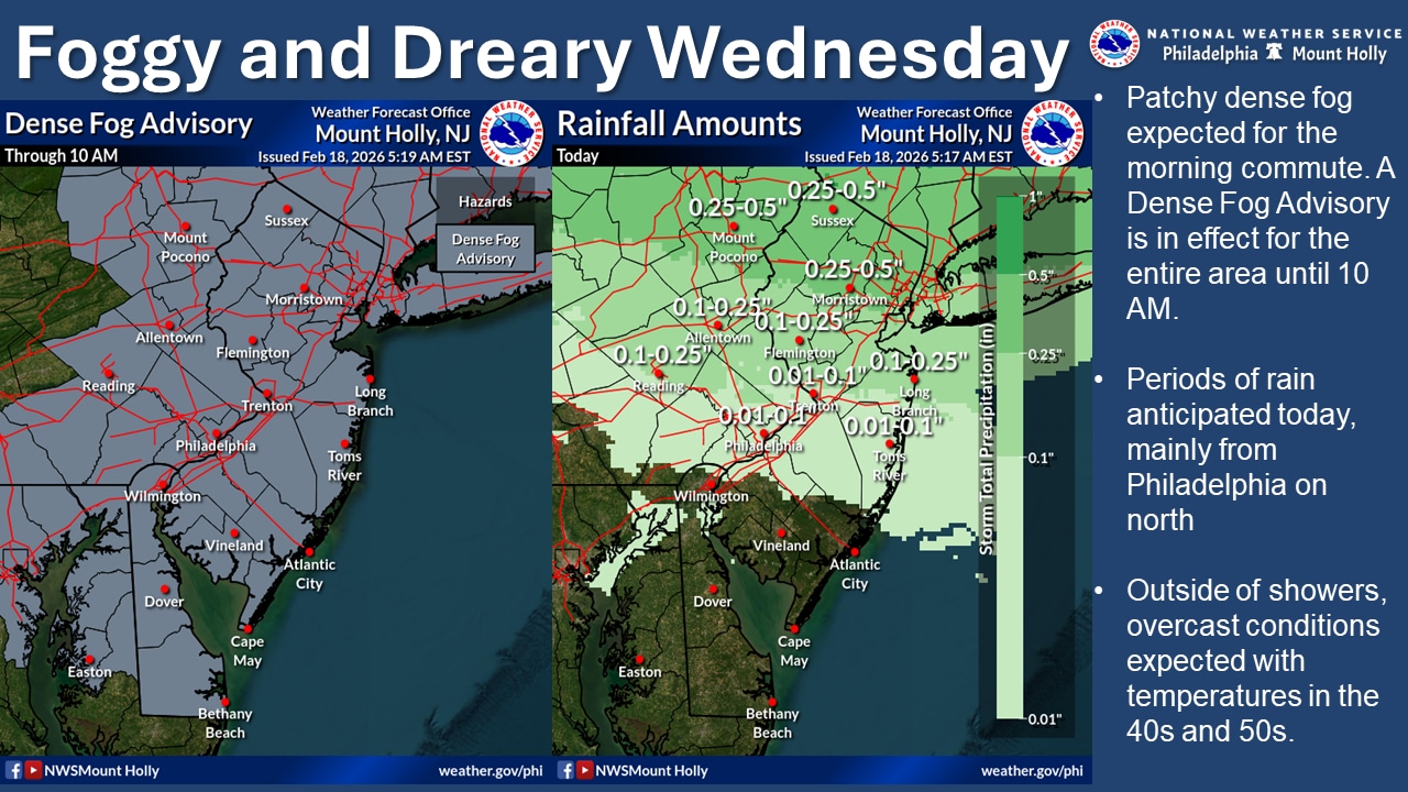
Dense fog will gradually diminish Wednesday across the Lehigh Valley, with the first of several chances for much-needed rain forecast for the afternoon into the evening.
The Lehigh Valley is under a Code Orange Air Quality Action Day for fine particulate matter (PM 2.5) on Wednesday.
The Pennsylvania Department of Environmental Protection says young children, the elderly and those with respiratory problems — such as asthma, emphysema and bronchitis — are especially vulnerable to the effects of air pollution and should limit outdoor activities.
The National Weather Service forecasts a 90% chance of rain Wednesday, mainly after 3 p.m., at Lehigh Valley International Airport, continuing until about 7 p.m.
A more significant weather threat is developing for Thursday night into Friday morning, when freezing rain is expected along and north of the I-80 corridor, particularly across the northern Poconos. The National Weather Service is monitoring the situation closely and may issue a Winter Weather Advisory.
A warm front is bringing Wednesday’s scattered showers to the area as high pressure moves offshore and a low pressure system approaches from the Great Lakes. Visibility may remain low across northwestern counties throughout the day. Wednesday night, conditions will remain cloudy with additional fog possible as milder air moves in, though showers should decrease.
Thursday will start with dense fog in some areas before conditions improve to mostly cloudy skies by afternoon. High temperatures will be near or slightly below average as a backdoor cold front keeps cooler air in place.
The main weather threat arrives Thursday evening into Friday as a low pressure system crosses the region, bringing rain. However, the critical concern is freezing rain Thursday night and Friday morning along the I-80 corridor.
Current forecasts indicate measurable ice accumulation is possible for the southern Poconos and far northern New Jersey. The highest amounts are expected over the northern portions of Carbon and Monroe counties, potentially reaching up to one-quarter inch. The probability of measurable ice in these areas ranges from 40 to 60%.
The weather service as of Wednesday morning was not expecting freezing precipitation in its forecast for Lehigh Valley International Airport.
Rainfall amounts from the system Thursday into Friday across the region are expected to range from one-half to three-quarters of an inch, which would provide welcome relief given current drought conditions.
MORE: Lehigh Valley weather: How bad is the drought, and how much rain are we expecting?
An active weather pattern will continue into the weekend.
A significant winter storm is possible Sunday as low pressure slides west to east and exits off the northern Mid-Atlantic coast.
While model guidance shows considerable variation regarding the track and strength of this system, there remains some signal for an accumulating widespread snowfall event.
The amount of cold air in place and the exact track of the low will be critical factors in determining precipitation types and amounts.
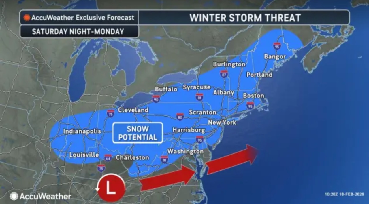 Forecasters are tracking the potential for snow this weekend from a winter storm as the track continues to shift.AccuWeather.com
“There are a lot of pieces to the puzzle that would have to come together at the right time for a major storm to unfold and bring heavy snow late this weekend to early next week,” AccuWeather meteorologist Brandon Buckingham said.
At the airport outside Allentown, the weather service forecasts a chance of snow beginning after midnight Saturday, with snow likely Sunday afternoon, and chances for snow continuing into Monday evening.
Possible accumulation totals were unavailable Wednesday morning from the weather service.
Much colder air will settle into the region early next week, with high temperatures likely remaining in the 30s on Monday and Tuesday, with lows mainly in the teens.
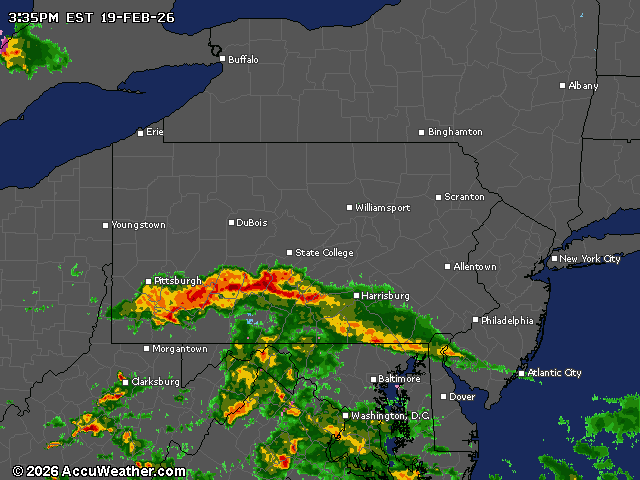
Current weather radar