
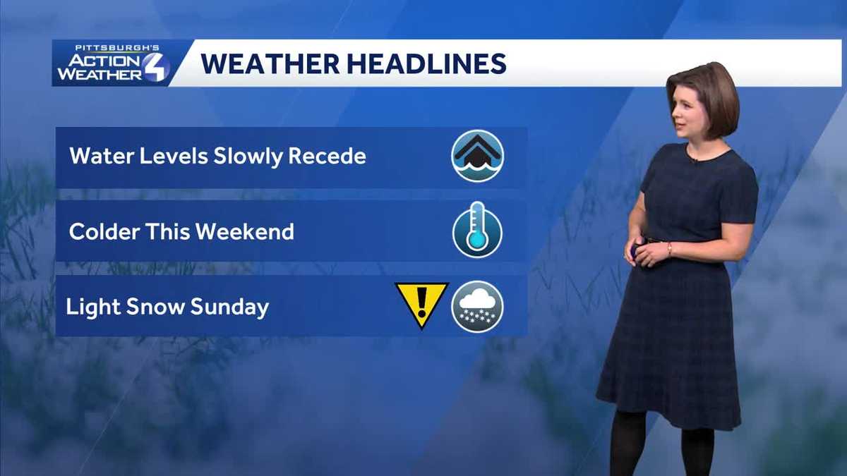
It is a weekend of changing weather conditions. We continue to monitor river levels following ice jams. Temperatures are trending chillier. Snow is back in the picture with heavy totals expected for the Laurel Highlands Sunday into Monday.Settling down todayThe Flood Watch for the upper Allegheny valley is set to expire at 9 a.m. The watch was lifted for Venango County, but continues for Armstrong, Butler and Clarion counties. Areas to watch include East Brady. Meanwhile, Pittsburgh is under a Flood Advisory through Sunday morning. The Ohio River is expected to crest this afternoon over 19 feet. Minor flooding of the Mon Wharf and North Shore is possible.After morning clouds, we will sneak in some sunshine this afternoon. Temperatures will only manage the low to mid 40s. Next comes the snow, which is set to arrive after midnight.Impact Day Sunday: Light snowA Winter Storm Watch has been issued for the Laurel Highlands of Westmoreland, Fayette, Monongalia, Preston and Garrett counties from Sunday morning through Tuesday morning. These areas could pick up more than half a foot of snow.Locally, there won’t be a whole lot of accumulation — one to two inches. Initially the snow will have a hard time sticking due to warm ground temperatures. The majority of this accumulation could come on Monday with lake-enhanced snow showers. In the Laurel Highlands, up to six inches of snow will be possible, especially on the western facing slopes and above 1,500 feet. Chilly with more rain and snow next weekTemperatures are parked in the 30s to begin next week. Highs will trend more seasonal by late week.We are tracking back-to-back clippers that will bring periods of rain and snow. The first arrives Tuesday night with snow ending as rain. Thursday’s clipper will carry impacts primarily from rain. TODAY: Clouds, some afternoon sunshine. Not as warm, high: 45°.TONIGHT: Mostly cloudy. Snow arrives after midnight. Low: 31°.SUNDAY – IMPACT DAY: Light snow, steady and heavy at times in the Laurel Highlands. High: 36°, low: 28°.MONDAY: Breezy with scattered snow showers. High: 34°, low: 19°.TUESDAY: Mostly cloudy and chilly. More snow at night. High: 33°, low: 28°.
PITTSBURGH —
It is a weekend of changing weather conditions. We continue to monitor river levels following ice jams. Temperatures are trending chillier. Snow is back in the picture with heavy totals expected for the Laurel Highlands Sunday into Monday.
Settling down today
The Flood Watch for the upper Allegheny valley is set to expire at 9 a.m. The watch was lifted for Venango County, but continues for Armstrong, Butler and Clarion counties. Areas to watch include East Brady. Meanwhile, Pittsburgh is under a Flood Advisory through Sunday morning. The Ohio River is expected to crest this afternoon over 19 feet. Minor flooding of the Mon Wharf and North Shore is possible.

Hearst OwnedHearst
Winter impacts on Sunday, especially for the Laurel Highlands.
After morning clouds, we will sneak in some sunshine this afternoon. Temperatures will only manage the low to mid 40s. Next comes the snow, which is set to arrive after midnight.
Impact Day Sunday: Light snow
A Winter Storm Watch has been issued for the Laurel Highlands of Westmoreland, Fayette, Monongalia, Preston and Garrett counties from Sunday morning through Tuesday morning. These areas could pick up more than half a foot of snow.

Hearst OwnedHearst
Winter Storm Watch late tonight through late Monday night for the Laurel Highlands.
Locally, there won’t be a whole lot of accumulation — one to two inches. Initially the snow will have a hard time sticking due to warm ground temperatures. The majority of this accumulation could come on Monday with lake-enhanced snow showers. In the Laurel Highlands, up to six inches of snow will be possible, especially on the western facing slopes and above 1,500 feet.

Hearst OwnedHearst
Two-day snow totals around western Pennsylvania. Greater impacts for the highest elevations for the Laurel Highlands.
Chilly with more rain and snow next week
Temperatures are parked in the 30s to begin next week. Highs will trend more seasonal by late week.
We are tracking back-to-back clippers that will bring periods of rain and snow. The first arrives Tuesday night with snow ending as rain. Thursday’s clipper will carry impacts primarily from rain.

Hearst OwnedHearst
Back-to-back clipper will usher in periods of rain and snow mid-week.
TODAY: Clouds, some afternoon sunshine. Not as warm, high: 45°.
TONIGHT: Mostly cloudy. Snow arrives after midnight. Low: 31°.
SUNDAY – IMPACT DAY: Light snow, steady and heavy at times in the Laurel Highlands. High: 36°, low: 28°.
MONDAY: Breezy with scattered snow showers. High: 34°, low: 19°.
TUESDAY: Mostly cloudy and chilly. More snow at night. High: 33°, low: 28°.