
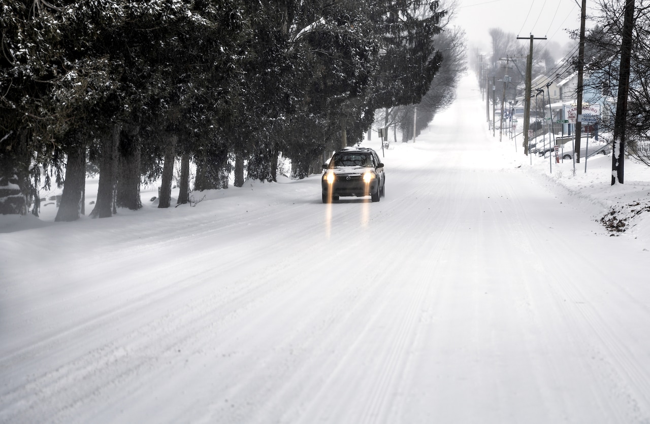
More snow is in the cards for Pennsylvania, and in some places across the state, the storm could set records for total accumulation.
A storm driven by a coastal low-pressure system will rapidly deepen off the East Coast, tracking from the Outer Banks Sunday morning northward to approximately 125 nautical miles east of Salisbury, Maryland, by Sunday evening.
Here’s where the storm is going to hit hardest, according to the National Weather Service.
The easternmost parts of the state are under a blizzard warning, including the Philadelphia area and its northern suburbs and in Carbon and Monroe counties in the Poconos region.
A winter storm warning is in place across most of central Pennsylvania, including Harrisburg, York, Lancaster, Gettysburg State College, Altoona, Lock Haven, and Johnstown.
A winter weather advisory is in place in the north-central parts of the state, while western Pennsylvania and Pittsburgh will remain largely unaffected.
In central Pa., snow mixed with rain will fall throughout the afternoon, with a high around 37 degrees. Daytime snow accumulation of around an inch is possible, but it’s after the sun sets and the temperatures drop that the heaviest accumulation is most likely.
The nighttime low is around 30, with wind gusts as high as 26 mph. New snow accumulation of 3 to 7 inches is possible, falling before 5 a.m.
More snow could fall before 7 a.m. Monday, with patchy blowing snow continuing until around noon as winds gust to around 40 mph.
Total snowfall is expected to reach 6 to 12 inches, with the highest accumulations predicted in the southern and eastern sections of York and Lancaster counties
In eastern Pennsylvania, precipitation will become all snow after 2 p.m., with total daytime accumulation of around an inch possible as temperatures remain above freezing.
As night falls, areas could see snowfall rates of 2 to 3 inches an hour and winds gusting past 45 mph. Record-breaking snowfall totals are possible, according to the National Weather Service advisory. Current snowfall predictions range from 16 to 22 inches across eastern Pa.
Snow on Monday morning is likely to end before 7 a.m., with extensive drifting possible.
Western Pennsylvania isn’t expected to see much snow, with a chance of less than an inch Sunday afternoon, less than a half-inch Sunday night, and less than a half-inch on Monday morning.
The Pennsylvania Department of Transportation announced that vehicle restrictions will go into effect at 3 p.m. Sunday along multiple interstates and the Pennsylvania Turnpike (I-76).