
First, Wintry Weather, Then a Big Warm Up Ahead
Everyone is talking about the warm up coming later this week, and it’s real. The NBC10 First Alert 10 Day Forecast shows temperatures climbing into the 60s this weekend and even into the low to mid 70s next week.
But first, we have one more cold stretch to get through, and it comes with a wintry mix.
Chilly Monday
Clouds increase Monday, but it stays dry in Philadelphia. Afternoon highs will only reach the upper 30s, about 10 degrees below our early March average of 48.
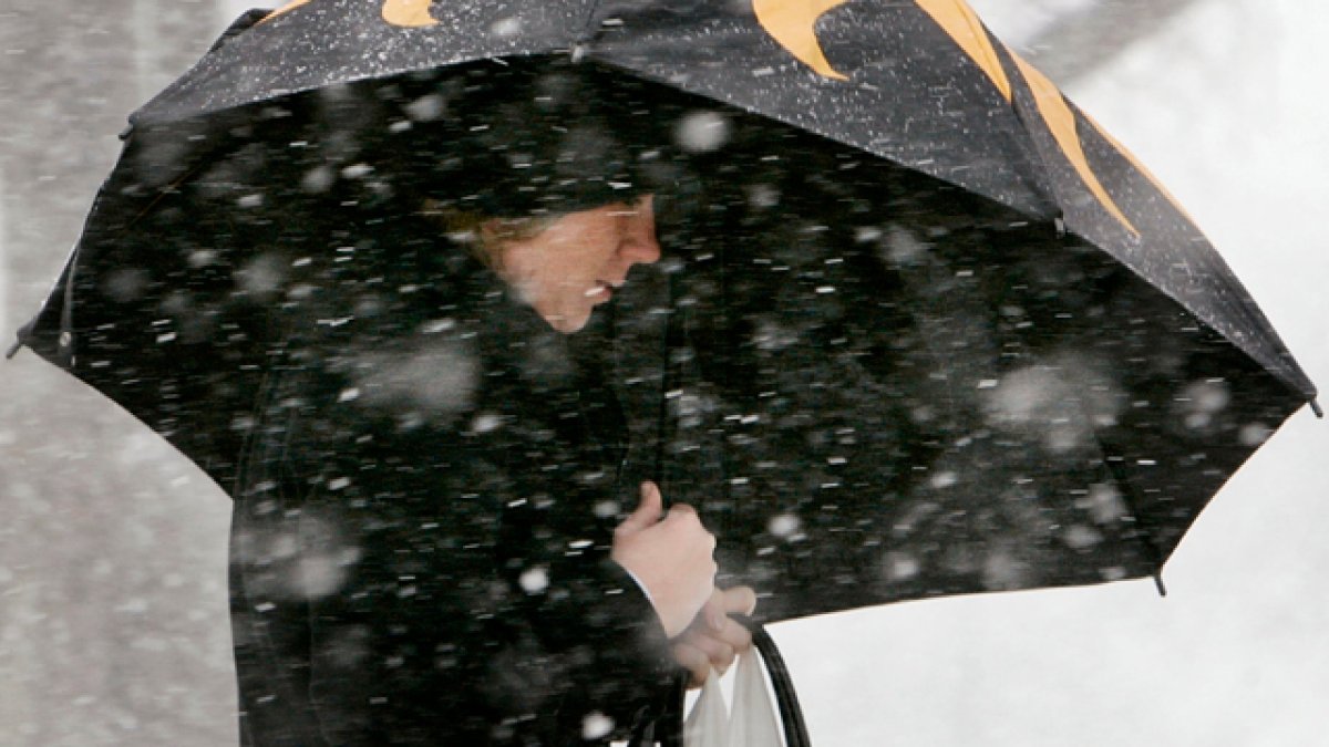
Light Wintry Mix Early Tuesday
Overnight temperatures will dip just below freezing. Between 4 a.m. and 5 am Tuesday, light snow begins moving north into our area as a warm front approaches.
What to expect:
• A brief period of light snow before sunrise in Philadelphia
• A dusting on grass and colder surfaces
• Berks County and the Lehigh Valley could see up to an inch in higher elevations
• A short change to freezing rain in some spots
• Changing to all rain as temperatures rise
Icing potential looks minimal. After sunrise, temperatures climb and quickly change everything to rain. By later Tuesday, most of the region sees a chilly rain that washes away anything that falls early in the morning.
This is not a major winter event, but there could be a few slick spots for the morning commute on untreated roads, driveways, and sidewalks.
Spring Preview on the Way
Once this system moves out, temperatures climb steadily:
• 50s Wednesday through Friday
• Mid 60s Saturday
• Low 70s Sunday and into next week
Seventies are more than 20 degrees above normal for early March. Typically, it is mid May before we routinely warm into the low 70s, so this is a legitimate spring preview.
After one more cold morning, spring-like weather takes control across the Delaware Valley.