
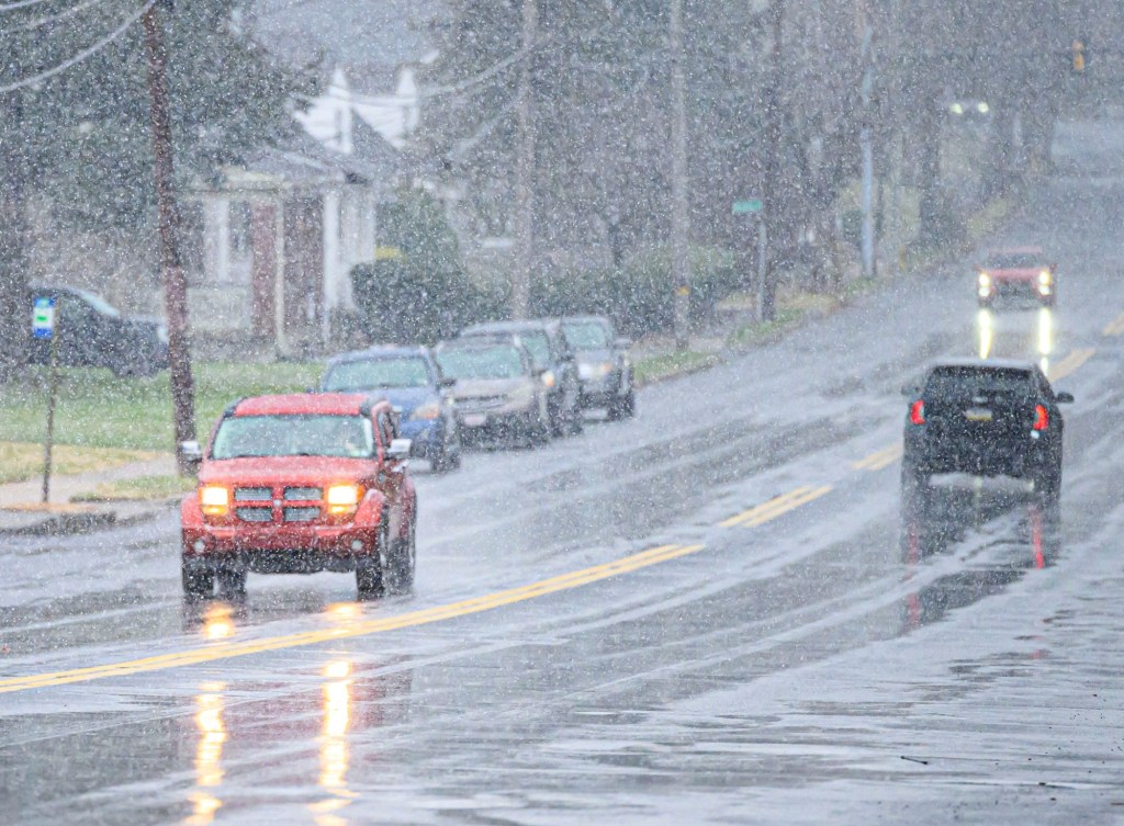
Up to an inch of snow along with some ice could fall Tuesday morning in the Lehigh Valley.
Lehigh and Northampton counties will be under a winter weather advisory from 5 a.m. until 1 p.m. Tuesday, according to the National Weather Service in Mount Holly, New Jersey. In addition to light snow, up to a tenth of an inch of ice could accumulate in the morning, forecasters said.
Motorists should plan for hazardous conditions, including slippery roads, during the morning commute.
Precipitation should change to rain in the afternoon. Showers are possible most of the week while temperatures jump into the 60s.
Here is the extended forecast from the National Weather Service:
Tuesday: Snow and freezing rain before 10 a.m., then rain and snow between 10 a.m. and 1 p.m., then rain after 1 p.m. High near 40. Calm wind. Chance of precipitation is 90%. Little or no ice accumulation expected. New snow accumulation of less than a half inch possible.
Wednesday: A chance of showers, mainly after 1 p.m. Mostly cloudy, with a high near 51. Calm wind. Chance of precipitation is 30%. New precipitation amounts of less than a tenth of an inch possible.
Thursday: A chance of showers. Cloudy, with a high near 60. Chance of precipitation is 40%.
Friday: A chance of showers before 1 p.m. Mostly cloudy, with a high near 56. Chance of precipitation is 30%.
Saturday: A chance of showers. Mostly cloudy, with a high near 63. Chance of precipitation is 30%.
Sunday: A chance of showers. Partly sunny, with a high near 70. Chance of precipitation is 30%.