
Cooler & breezy as we head into the afternoon & more cloud cover is expected to develop later this afternoon. Clouds will linger through the evening. Winds will be between 10-15 mph, with wind gusts up to 20-25 mph.Breezy conditions will calm down overnight Thursday and allow temperatures to drop into the upper 30s and low 40s. Some locations, mainly our protected valleys, may drop into the mid-30s and lead to isolated areas of patchy frost.The growing season has not officially ended for the year yet in Cumberland, Franklin, Adams, Dauphin, Lebanon, Lancaster, or York counties, according to the latest bulletin from the National Weather Service.The wind on Friday will be a bit lighter with gusts around 20 mph, but still seasonably cool with highs in the 50s. Winds relax Friday evening, and with clearing skies, some frost will be possible Friday night into Saturday morning.The weekend is looking mainly dry. Highs are uniform around 60 degrees both days. More clouds and a slim chance of a few showers are possible on Sunday. Most of the day is good to get outside.The weather looks quiet and cooler than average to start next week as high pressure dominates our weather pattern Monday and Tuesday. Unfortunately, it does not last much longer.An unsettled pattern begins to set up mid to late next week. Rain chances are possible for a couple of days with several fronts moving through the area. Those planning to trick or treat around Halloween should have a backup plan for showers next Friday evening. We’ll fine-tune the forecast as we get closer.Have a great rest of your day!~ Ryan
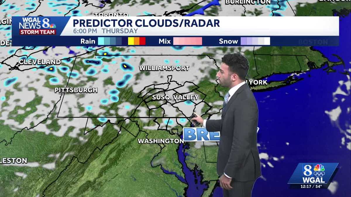
Cooler & breezy as we head into the afternoon & more cloud cover is expected to develop later this afternoon. Clouds will linger through the evening. Winds will be between 10-15 mph, with wind gusts up to 20-25 mph.
Breezy conditions will calm down overnight Thursday and allow temperatures to drop into the upper 30s and low 40s. Some locations, mainly our protected valleys, may drop into the mid-30s and lead to isolated areas of patchy frost.
The growing season has not officially ended for the year yet in Cumberland, Franklin, Adams, Dauphin, Lebanon, Lancaster, or York counties, according to the latest bulletin from the National Weather Service.
The wind on Friday will be a bit lighter with gusts around 20 mph, but still seasonably cool with highs in the 50s. Winds relax Friday evening, and with clearing skies, some frost will be possible Friday night into Saturday morning.
The weekend is looking mainly dry. Highs are uniform around 60 degrees both days. More clouds and a slim chance of a few showers are possible on Sunday. Most of the day is good to get outside.
The weather looks quiet and cooler than average to start next week as high pressure dominates our weather pattern Monday and Tuesday. Unfortunately, it does not last much longer.
An unsettled pattern begins to set up mid to late next week. Rain chances are possible for a couple of days with several fronts moving through the area. Those planning to trick or treat around Halloween should have a backup plan for showers next Friday evening. We’ll fine-tune the forecast as we get closer.
Have a great rest of your day!
~ Ryan