
You made it – today is the last full day of winter! Springtime temperatures arrive just in time for the start of the new season. So do rain showers with better chances Friday afternoon and evening, then again on Sunday.Warm up beginsThis morning’s temperatures are just as warm as yesterday’s high. Readings will push close to 50 degrees this afternoon. Skies will feature more clouds and stray showers. The limited shower chance will be our mid-day.Temperatures climb near 60 degrees for the first day of spring tomorrow. The Vernal Equinox is at 10:46 AM. We are tracking light rain for the afternoon and evening hours. We continue to monitor the exact timing of this frontal passage. Rainfall will be less than a quarter of an inch for most by Saturday morning.Weekend warm up and more rainHigh temperatures are still climbing over the weekend. Saturday is dry with highs in the mid 60s. Pittsburgh should hit 70-degrees on Sunday before the rain moves back in. A stronger cold front drops into the area on Sunday. The timing looks to be in the second half of the day with rain showers. If we get warm enough, perhaps a thunderstorm is possible as well.Drying out next weekTemperatures will be temporarily knocked back into the 40s on Monday. The cool down is short-lived as the 50s return with sunshine through the middle of the week. We are likely dry until we head into next weekend.TODAY: Mostly cloudy with stray showers. Mild, high: 50°.TONIGHT: Partly to mostly cloudy. Low: 37°.FRIDAY: Warmer with afternoon light rain. High: 60°, low: 44°.SATURDAY: Pleasant temperatures as skies become partly cloudy. High: 64°, low: 46°.SUNDAY: Warmer with late-day showers and isolated storms possible. High: 71°, low: 35°.
PITTSBURGH —
You made it – today is the last full day of winter! Springtime temperatures arrive just in time for the start of the new season. So do rain showers with better chances Friday afternoon and evening, then again on Sunday.
Warm up begins
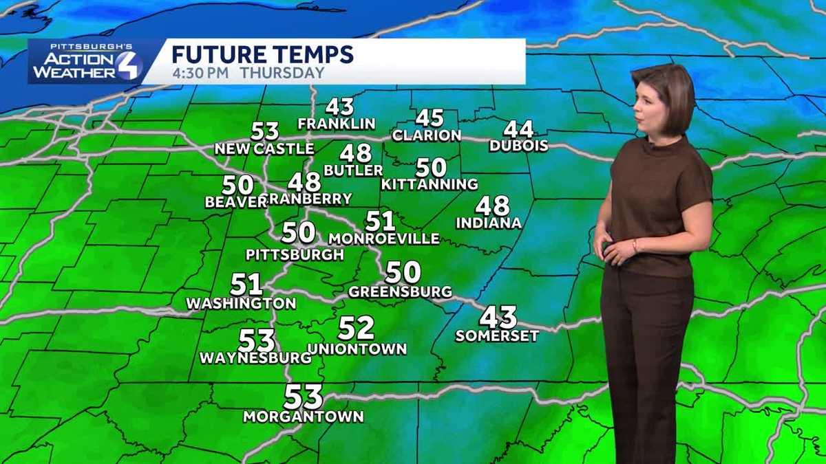
This morning’s temperatures are just as warm as yesterday’s high. Readings will push close to 50 degrees this afternoon. Skies will feature more clouds and stray showers. The limited shower chance will be our mid-day.
Temperatures climb near 60 degrees for the first day of spring tomorrow. The Vernal Equinox is at 10:46 AM. We are tracking light rain for the afternoon and evening hours. We continue to monitor the exact timing of this frontal passage. Rainfall will be less than a quarter of an inch for most by Saturday morning.
Weekend warm up and more rain
High temperatures are still climbing over the weekend. Saturday is dry with highs in the mid 60s. Pittsburgh should hit 70-degrees on Sunday before the rain moves back in.
A stronger cold front drops into the area on Sunday. The timing looks to be in the second half of the day with rain showers. If we get warm enough, perhaps a thunderstorm is possible as well.
Drying out next week
Temperatures will be temporarily knocked back into the 40s on Monday. The cool down is short-lived as the 50s return with sunshine through the middle of the week. We are likely dry until we head into next weekend.
TODAY: Mostly cloudy with stray showers. Mild, high: 50°.
TONIGHT: Partly to mostly cloudy. Low: 37°.
FRIDAY: Warmer with afternoon light rain. High: 60°, low: 44°.
SATURDAY: Pleasant temperatures as skies become partly cloudy. High: 64°, low: 46°.
SUNDAY: Warmer with late-day showers and isolated storms possible. High: 71°, low: 35°.