
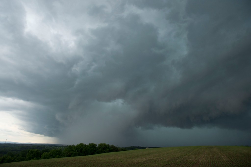
Storms are possible Wednesday across the Lehigh Valley before a cold front makes its way through the region.
Temperatures are expected to reach the mid-70s before thunderstorms develop later in the afternoon, according to the National Weather Service in Mount Holly, New Jersey.
The greatest severe weather threat will be 3-10 p.m., according to the weather service. Forecasters noted scattered showers and isolated thunderstorms could continue overnight.
In addition to storms, there could be isolated damaging winds, large hail and locally heavy rainfall, according to forecasters. There is an 80% chance of precipitation throughout the day and evening.
After the cold front moves through, high temperatures will just reach the low 50s Thursday. Another warmup is expected as temperatures climb back into the mid-70s Friday and could even reach 80 on Saturday, according to the weather service.
Easter Sunday will be a little cooler, though still mild, with a high in the upper 60s expected. However, showers are expected, with an 80% chance of precipitation, according to the forecast.
In fact, rain will be possible every day Thursday through Sunday, forecasters said.
Heading into next week, cooler weather will return, with high temperatures in the mid 50s Monday and Tuesday.
Here is the extended forecast from the National Weather Service:
Thursday: A chance of showers, mainly before 2 p.m. Cloudy, with a high near 52. East wind 5 to 10 mph. Chance of precipitation is 30%. New precipitation amounts of less than a tenth of an inch possible.
Friday: Mostly cloudy, with a high near 74. Light and variable wind becoming southwest 5 to 10 mph in the afternoon.
Saturday: A chance of showers after 2 p.m. Partly sunny, with a high near 80. Chance of precipitation is 30%.
Sunday: Showers. High near 68. Chance of precipitation is 80%.
Monday: Mostly sunny, with a high near 55.
Tuesday: Partly sunny, with a high near 55.