
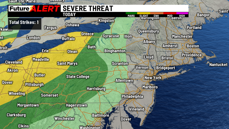
(WBRE/WYOU) — Low pressure to our west will bring a warm front through our area today, giving us a chance of afternoon showers and a possible thunderstorm.
For today, you can expect partly sunny skies with a chance of afternoon showers and a scattered thunderstorm, with highs near 70.
The showers continue overnight as a cold front moves closer. Rain and a rumble of thunder possible Easter morning, before tapering to showers by midday, with highs in the low 60s.
Cooler air moves in to start the work week, with Monday seeing highs near 50 along with partly sunny skies.
There is a chance of a scattered shower or snow shower on Tuesday, with highs in the mid 40s.
Above average temperatures are back later in the week, with Wednesday being mostly sunny and seeing highs in the mid 40s.
Thursday and Friday will warm up further, with highs reaching low to mid 60s both days with partly cloudy skies.
Copyright 2026 Nexstar Media, Inc. All rights reserved. This material may not be published, broadcast, rewritten, or redistributed.
For the latest news, weather, sports, and streaming video, head to 28/22 News.