
Seasonably cool & dry to end our weekend; dry to start the week before rain arrives midweek for south-central Pennsylvania
Seasonably cool end to the evening with mostly clear skies expected overnight. We start the week dry, cool & pleasant, then rain chances arrive in the middle of the work week. We have the latest 10-day in the video
NIGHT AND TUESDAY MORNING. SO, RYAN, WILL WE SEE ANY EFFECTS OF MELISSA HERE ON THE EAST COAST? YEAH. SO THE SHORT ANSWER FOR THAT IS NO, WE ARE NOT GOING TO BE SEEING ANY DIRECT IMPACTS FROM THIS HURRICANE. BUT WE ARE SEEING RIGHT NOW HURRICANE WARNINGS, HURRICANE WATCHES, TROPICAL STORM WARNINGS ALREADY IN EFFECT FOR THE ISLAND OF JAMAICA, EVEN FOR THE DOMINICAN REPUBLIC. AND REALLY SOUTHERN HISPANIOLA, GETTING INTO EASTERN PORTIONS OF CUBA AT THIS TIME. BUT THIS HURRICANE IS ANTICIPATED, FOLKS. IT’S ALREADY A VERY STRONG, VERY INTENSE AND A CATASTROPHIC HURRICANE ALREADY AND IS ANTICIPATED, UNFORTUNATELY, TO STRENGTHEN TO A CATEGORY FIVE HURRICANE BY THE TIME WE MAKE IT TO TOMORROW AFTERNOON, FOLKS. SO IF YOU HAVE ANYBODY THAT’S DOWN TOWARDS THE ISLANDS OR IN THE CARIBBEAN, YOU NEED TO LET THEM KNOW TO SEEK SHELTER RIGHT NOW, BECAUSE THIS THIS HURRICANE MEANS BUSINESS. AND I HATE TO SAY IT LIKE THAT, BUT THIS IS GOING TO BE THIS IS GOING TO BE A CATASTROPHIC HURRICANE. UNFORTUNATELY, AS WE GET INTO TUESDAY AFTERNOON, STILL A VERY INTENSE HURRICANE AS WE GET INTO THE BEGINNING PORTIONS OF THE WORKWEEK. BUT AS YOU CAN SEE, WE WERE ASKING THE QUESTION, IS THIS GOING TO BE MAKING IMPACT OR ANY HAVING ANY IMPACTS FOR THE EAST COAST NOW POSSIBLE RIP CURRENTS? YES, I’LL SAY THAT. BUT IN TERMS OF DIRECT IMPACTS, YOU CAN SEE THIS HURRICANE IS GOING OUT TO SEA AND AWAY FROM THE MAINLAND OF THE UNITED STATES, BUT CERTAINLY GOING TO BE A VERY IMPACTFUL HURRICANE AS WE GET INTO THE WORKWEEK. NOW, BACK HOME HERE, BACK IN HERSHEY CHOCOLATE TOWN, WE ARE SEEING MAINLY CLEAR CONDITIONS. JUST A FEW CLOUDS IN THE MIX THERE, BUT WE ARE STARTING TO SEE THAT SUN, THAT THAT SUN START TO GO DOWN BELOW THE HORIZON. TEMPERATURES INTO THE LOWER 50S. YOU CAN SEE WINDS ARE LIGHT AND VARIABLE OUT OF THE WEST, RIGHT AROUND THREE MILES PER HOUR IS WHAT I WANTED TO MENTION THERE. PLEASANT AND DRY START TO THE WORKWEEK AS WE GET INTO. AS WE GET INTO THE NEXT COUPLE OF DAYS. ALTHOUGH THE CHANCES FOR RAIN DO INCREASE AS WE GET INTO THE MIDDLE OF THE WORKWEEK TOWARDS THE END OF NEXT WEEKEND, THAT’S WHEN WE’LL START TO SEE ANOTHER UNSETTLED PATTERN START TO WORK ITS WAY INTO THE VALLEY, ALLOWING ANOTHER CHANCE OF SOME SHOWERS, WHICH WE DEFINITELY NEED THE RAIN, FOLKS. SO THAT’S SOME GOOD NEWS FOR US THIS EVENING. WE’LL HAVE SOME CLEARING SKIES 50 DEGREES WITH SOME LIGHT WINDS, AND THEN AS WE GET INTO TONIGHT, MOSTLY CLEAR, CHILLY AND FROSTY, POTENTIALLY RIGHT INTO THE UPPER 30S. RANGE WILL GO AS WE GET INTO OVERNIGHT TONIGHT. THEN FOR TOMORROW AFTERNOON. BRIGHT SUNSHINE, PLEASANT INTO THE UPPER 50S. WILL GO FOR THE AFTERNOON. SO CERTAINLY FEELING SEASONABLY COOL. BUT WE MADE IT TO 61 TODAY AT HARRISBURG INTERNATIONAL AIRPORT. RIGHT AROUND 62 IS WHAT WE EXPECT FOR THIS TIME OF YEAR. YOU CAN SEE WE MADE IT TO 37. OUR FORECAST LOW IS RIGHT AROUND 38, BUT YOU CAN SEE GETTING DOWN TO THAT FROSTY RANGE, WE USUALLY EXPECT THAT 42 DEGREE MARK FOR OUR AVERAGE LOW TEMPERATURES. NOW YOU CAN SEE OUR HERE’S OUR FORECAST LOWS GETTING INTO THE LOWER 30S FOR SOME COMMUNITIES INCLUDING LEBANON LANCASTER, YORK, YORK COUNTIES 38 DEGREES FOR HARRISBURG. YOU SEE OTHER AREAS GETTING INTO THE 30S. BUT NOTICE THIS NO FROST ADVISORIES IN EFFECT. THAT IS BECAUSE LAST NIGHT, THE REST OF THE REMAINING COUNTIES IN OUR IN OUR VIEWING AREA HAS NOW ENDED THEIR GROWING SEASON BECAUSE OF TEMPERATURES REACHING THAT FROST POINT ACROSS THE AREA. SO WON’T BE SEEING ANY MORE, ANY MORE FROST OR FREEZE HEADLINES UNTIL WE GET INTO NEXT SPRING, FOLKS, INTO APRIL AND MAY 2026 INTO THE 50S RIGHT NOW. STORM TEAM, LIVE RADAR NETWORK. ALL IS QUIET THANKS TO HIGH PRESSURE THAT’S WORKING OVER THE AREA, AND WE’RE GOING TO BE SEEING MAINLY CLEAR CONDITIONS AND MOSTLY SUNNY CONDITIONS AS WE GET INTO TOMORROW. SO CERTAINLY FEELING SEASONABLY COOL AND NICE AS WE GET INTO THE BEGINNING OF THE WORKWEEK, WE WILL START TO SEE SOME INCREASING CLOUDS AS WE GET INTO LATE TUESDAY INTO WEDNESDAY, YOU CAN SEE A CHANCE OF SOME LATE EVENING SHOWERS FOR YOUR WEDNESDAY. CHANCE OF SHOWERS FOR THURSDA
Seasonably cool & dry to end our weekend; dry to start the week before rain arrives midweek for south-central Pennsylvania
Seasonably cool end to the evening with mostly clear skies expected overnight. We start the week dry, cool & pleasant, then rain chances arrive in the middle of the work week. We have the latest 10-day in the video

Updated: 7:02 PM EDT Oct 26, 2025
Some upper level energy and cold air aloft has mixed clouds along with sunshine during the afternoon into this evening. Temperatures lower to the low 50s later on this evening with winds remaining light and conditions remaining dry.Tonight, skies are mostly clear and it’ll be chilly again. There may be frosty areas too. Lows will drop into the mid and upper 30s. Even with frost being a possibility again overnight, the growing season has now officially ended for south-central Pennsylvania, so frost & freeze headlines will no longer be issued until the start of the next growing season in April & May 2026. Temperatures will bottom out in the upper 30s with winds remaining light & variable.A pleasant, fall day kicks off the last week of October. Plenty of sunshine for Monday, with highs near 60 degrees. Tuesday, more clouds drift in from a system to our south so skies will be partly sunny. It is a bit cooler in the mid 50s.Clouds will increase Wednesday with showers holding off until evening. Rain picks up overnight and continues throughout Thursday. It will be breezy and noticeably cooler in the low 50s. Rain amounts of 0.75″ up to 1.80″ is possible and will help the deficit for the month.Some showers may linger early Friday. Thankfully, it looks dry for trick-or-treaters on Halloween evening. You may need a jacket though. It will be brisk with breezy winds and cool temperatures.More unsettled weather is expected for the first week of November.Have a great rest of your evening!~ Ryan
Some upper level energy and cold air aloft has mixed clouds along with sunshine during the afternoon into this evening. Temperatures lower to the low 50s later on this evening with winds remaining light and conditions remaining dry.
Tonight, skies are mostly clear and it’ll be chilly again. There may be frosty areas too. Lows will drop into the mid and upper 30s. Even with frost being a possibility again overnight, the growing season has now officially ended for south-central Pennsylvania, so frost & freeze headlines will no longer be issued until the start of the next growing season in April & May 2026. Temperatures will bottom out in the upper 30s with winds remaining light & variable.
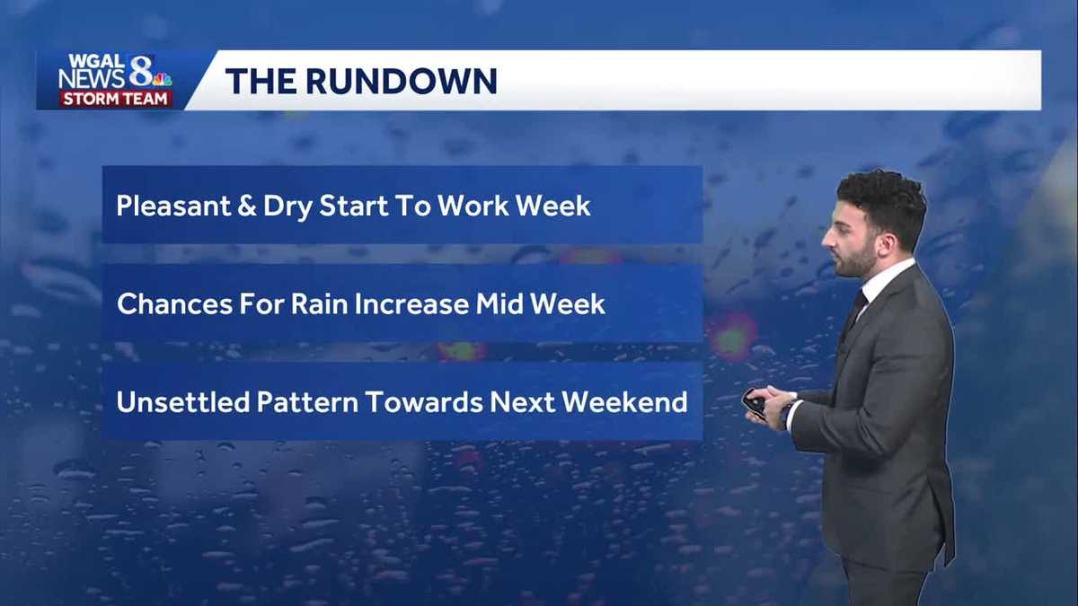
A pleasant, fall day kicks off the last week of October. Plenty of sunshine for Monday, with highs near 60 degrees. Tuesday, more clouds drift in from a system to our south so skies will be partly sunny. It is a bit cooler in the mid 50s.
Clouds will increase Wednesday with showers holding off until evening. Rain picks up overnight and continues throughout Thursday. It will be breezy and noticeably cooler in the low 50s. Rain amounts of 0.75″ up to 1.80″ is possible and will help the deficit for the month.
Some showers may linger early Friday. Thankfully, it looks dry for trick-or-treaters on Halloween evening. You may need a jacket though. It will be brisk with breezy winds and cool temperatures.
More unsettled weather is expected for the first week of November.
Have a great rest of your evening!
~ Ryan