
Another comfy day, then temperatures soar to the 80s next week for south-central Pennsylvania
There is a Frost Advisory in effect until 8 am this morning for Mifflin, Juniata, Perry, Dauphin, Lebanon, and Lancaster Counties. Temperatures may dip down to the low to mid 30s.
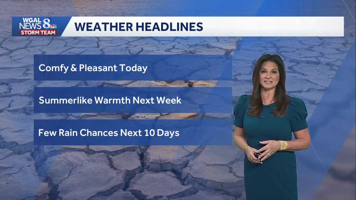
STORM TEAM FORECAST WITH METEOROLOGIST MARYELLEN PANN. GOOD MORNING EVERYONE. YESTERDAY WE ENJOYED. OR HOPEFULLY YOU GOT OUT TO ENJOY A REALLY NICE LOOKING DAY NEAR SEASONABLE TEMPERATURES, LOTS OF SUNSHINE AND TODAY IS GOING TO BE VERY SIMILAR. COMFORTABLE, PLEASANT, MOSTLY SUNNY FOR THE START OF THE DAY AND THEN WE’LL SEE PARTLY SUNNY SKIES LATER THIS AFTERNOON AS WE CHECK OUT THE WEATHER HEADLINES. WE CONTINUE TO WATCH THESE SUMMER-LIKE TEMPERATURES IN THE MODELING COMING IN FOR NEXT WEEK. WE’RE TALKING TEMPERATURES SOARING TO THE 70S AND EVEN 80 SEVERAL DAYS OF 80. AS WE CHECK OUT THE RAIN CHANCE. THERE ARE A COUPLE OPPORTUNITIES, BUT OVERALL IT IS GOING TO BE A MAINLY DRY STRETCH FOR THE NEXT TEN DAYS. YOUR NEWS EIGHT STORM TEAM FORECAST CALLS FOR MOSTLY SUNNY SKIES THIS MORNING AROUND 9:00. TEMPERATURES IN THE UPPER 40S. SO COOL. YOU MAY NEED A LIGHT JACKET. WINDS WILL BE INCREASING SO IT WITH PARTLY SUNNY SKIES AND TEMPERATURES IN THE MID 60S AND THIS EVENING STILL BREEZY. MOSTLY CLOUDY. TEMPERATURES RIGHT AROUND 62 DEGREES OVERNIGHT AS A WARM FRONT LIFTING THROUGH THOSE CLOUDS LINGER. LOOK AT THOSE TEMPERATURES. MILD, MILD COMPARED TO WHERE WE’VE BEEN THIS MORNING. LOW 50S EXPECTED WINDS OUT OF THE SOUTH 5 TO 15. TOMORROW. MOSTLY CLOUDY. A FEW AFTERNOON SHOWERS POSSIBLE AND TEMPERATURES DESPITE THE CLOUDS. WINDS OUT OF THE SOUTHWEST 10 TO 20. HELP BOOST THOSE NUMBERS INTO THE MID 70S. WEATHER AND HEALTH CHECK FOR TODAY. POLLEN LEVELS. POLLEN LEVELS CONTINUE TO RUN ON THE HIGH SIDE. AIR QUALITY IS BACK UP TO MODERATE AND THE UV INDEX IS MINUTES. TEMPERATURES. RIGHT NOW WE HAVE 33 IN SELINSGROVE, 39 IN LANCASTER, 37 IN LEWISTOWN, 42 IN HARRISBURG. AND WE’VE GOT MID TO UPPER 40S FROM CHAMBERSBURG TO GETTYSBURG. BUT AS I ZOOM OUT, YOU CAN SEE WE HAVE THIS COOL POCKET OF AIR OVER THE NORTHEAST TROUGH IS GOING TO LIFT OUT, A RIDGE IS GOING TO BUILD IN AND TEMPERATURES TO THE WEST SOUTHWEST ARE IN THE 60S AT THIS HOUR. WITH OUR WINDS SHIFTING THIS WEEK AND TAPPING INTO THE WARMTH TO OUR SOUTHWEST, WE’RE GOING TO SEE OUR TEMPERATURES CLIMBING THE NEXT DAY OR SO. WINDS ARE LIGHT RIGHT NOW, BUT THEY ARE EXPECTED TO PICK UP TODAY. COULD GUST AT TIMES 2020 FIVE MILES PER HOUR, SO YOU CAN EXPECT IT TO BE BREEZY FOR MUCH OF THE AFTERNOON HOURS. SO HERE’S HIGH PRESSURE. IT CONTINUES TO SLIDE. EAST. WINDS ARE COMING IN OUT OF THE SOUTHEAST. THERE’S THE CLOUD COVER ACROSS OHIO. THIS IS THE CLOUD COVER THAT WILL START TO STREAM IN LATER TODAY. AS THAT WARM FRONT GETS A LITTLE BIT CLOSER TONIGHT IT DOES LIFT THROUGH THE AREA. KEEPING THE CLOUDS AROUND FOR OUR MONDAY. BUT THAT’S GOING TO SHIFT OUR WINDS AND BRING IN THE MILDER TEMPERATURES TO START OFF THE WORKWEEK. AS WE HEAD THROUGH THE DAY, IT’S DRY IN THE MORNING HEADING INTO THE AFTERNOON, THERE’S A WEAK DISTURBANCE THAT COMES THROUGH THAT COULD PRODUCE SOME SHOWERS AROUND THE AREA. IT IS GOING TO BE STILL WARM DESPITE THE SHOWER CHANCE AND IN THE CLOUDS WE CONTINUE WITH WARM CONDITIONS EVEN INTO TUESDAY. A SERIES OF FRONTAL BOUNDARIES TO OUR NORTH. NOW THERE WILL BE A COUPLE LITTLE SHORTWAVES THAT COME THROUGH THAT COULD PRODUCE SOME SHOWERS AND THUNDERSTORMS ON TUESDAY EVENING. WE’LL HAVE TO WATCH FOR THAT THREAT, BUT IT WOULD BE VERY FEW AND FAR BETWEEN. RAINFALL POTENTIAL FOR TOMORROW. NOT REALLY PICKING UP ON A WHOLE LOT. I WOULD SAY LESS THAN FIVE HUNDREDTHS OF AN INCH OF RAIN, BUT THAT CHANCE IS THERE. SO PLENTY OF DRY HOURS. THE STORY THIS WEEK THOUGH, LOOK AT THESE TEMPERATURES. WE GO FROM THE 60S TO THE 70S, AND THEN WE’RE INTO THE 80S AND WE STAY IN THE 80S ALL THE WAY INTO NEXT SATURDAY. WE HAVE TO GO BACK TO SEPTEMBER 11TH FOR OUR LAST FIVE DAY STRETCH OF 80 DEGREE TEMPERATURES. HERE’S YOUR TEN DAY FORECAST. WE DO GET A MORE POTENT SYSTEM TO COME THROUGH ON SUNDAY. TEMPERATURES BACK DOWN 70 FOR SUNDAY. AND THEN WE HEAD INTO THE 60S FOR MONDAY AND TUESDAY WITH DRY WEATHER BOTH DAYS. SO OVERALL RAIN CHANCES DO REMAIN VERY LOW. IT’S GOING TO BE ALL ABOUT THE
Another comfy day, then temperatures soar to the 80s next week for south-central Pennsylvania
There is a Frost Advisory in effect until 8 am this morning for Mifflin, Juniata, Perry, Dauphin, Lebanon, and Lancaster Counties. Temperatures may dip down to the low to mid 30s.

Updated: 6:45 AM EDT Apr 12, 2026
A chilly start with near freezing temperatures for some places, otherwise, temperatures are in the low 40s. Possible frost in low-lying or shaded areas, then a nice rebound into the mid 60s. Skies shift from mostly sunny to partly sunny in the afternoon. Overall, it is a pretty ideal day to enjoy outside. You’ll just need the jacket this morning. Monday highs jump into the mid to upper 70s. Southwesterly winds bring in more cloud cover, and a few afternoon showers can’t be ruled out, so it’s worth keeping an eye to the sky if you’re outside. Rainfall amounts expected around 0.10” northwest of Harrisburg, with less than 0.05” elsewhere. We flip the switch to early summer with highs soaring into the mid 80s Tuesday through Thursday. We will challenge records on Wednesday. Forecast is 86 and the record is 87 set in 1941. Morning lows will be warmer than afternoon average highs Thursday. You’ll notice an uptick in humidity with dew points near 60° Not oppressive by any means but enough to make it feel a bit sticky, especially in the afternoons. Other than a late shower or thunderstorm Tuesday and a couple late showers Thursday night, rain chances remain low so great weather for outdoor plans. Temperatures briefly fall back to near 80° on Friday. It’s still warm and pleasant. That tranquil weather continues into the start of the weekend with summerlike weather continuing. Highs are in the low 80s. The next cold front comes in on Sunday with the chance for showers. This system is a game changer and will bring temperatures back to the 60s by Monday.
A chilly start with near freezing temperatures for some places, otherwise, temperatures are in the low 40s. Possible frost in low-lying or shaded areas, then a nice rebound into the mid 60s. Skies shift from mostly sunny to partly sunny in the afternoon. Overall, it is a pretty ideal day to enjoy outside. You’ll just need the jacket this morning.
Monday highs jump into the mid to upper 70s. Southwesterly winds bring in more cloud cover, and a few afternoon showers can’t be ruled out, so it’s worth keeping an eye to the sky if you’re outside. Rainfall amounts expected around 0.10” northwest of Harrisburg, with less than 0.05” elsewhere.
We flip the switch to early summer with highs soaring into the mid 80s Tuesday through Thursday. We will challenge records on Wednesday. Forecast is 86 and the record is 87 set in 1941. Morning lows will be warmer than afternoon average highs Thursday. You’ll notice an uptick in humidity with dew points near 60° Not oppressive by any means but enough to make it feel a bit sticky, especially in the afternoons. Other than a late shower or thunderstorm Tuesday and a couple late showers Thursday night, rain chances remain low so great weather for outdoor plans.
Temperatures briefly fall back to near 80° on Friday. It’s still warm and pleasant. That tranquil weather continues into the start of the weekend with summerlike weather continuing. Highs are in the low 80s. The next cold front comes in on Sunday with the chance for showers. This system is a game changer and will bring temperatures back to the 60s by Monday.