
We’ll see partly to mostly sunny skies this afternoon, a 10-20 mph southwesterly breeze, and highs soaring to 84 degrees. Today’s record stands at 89, set in 1941.A few showers and thunderstorms will be around this evening, but it’s not a guarantee you get rain. Isolated storms may produce damaging wind gusts and brief, heavy rain. Storms will end by midnight. Tonight, lows will be warm, around 62 degrees, which will challenge the record warmest low of 61 degrees set in 2023. Expect partly cloudy skies overnight. Wednesday’s high of 86 degrees will also approach a daily record high of 87, set in 1941. Expect partly sunny skies and higher dew points near 60 degrees, making it feel a bit sticky for April.Thursday will be equally warm. Highs will soar to the mid-to-upper 80s, but humidity won’t be quite as high. A cold front arrives Friday, with the chance of a few showers and thunderstorms. It will be slightly cooler, near 80 degrees. After one more day in the 80s Saturday, our summer stretch will come to an end. Expect a cold front to bring scattered showers Sunday and cooler, more seasonable highs in the mid-60s. Monday will be the coolest day next week, around 56 degrees. Monday night will be cold! Expect lows in the low-to-mid 30s. Tuesday will also be cool, with highs in the upper 50s. If you’re looking for more seasonable temperatures, highs will be a few degrees above average, near 70 by Wednesday and Thursday.
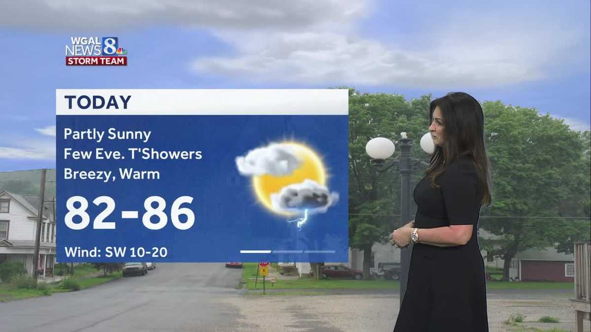
We’ll see partly to mostly sunny skies this afternoon, a 10-20 mph southwesterly breeze, and highs soaring to 84 degrees. Today’s record stands at 89, set in 1941.
A few showers and thunderstorms will be around this evening, but it’s not a guarantee you get rain. Isolated storms may produce damaging wind gusts and brief, heavy rain. Storms will end by midnight.
Tonight, lows will be warm, around 62 degrees, which will challenge the record warmest low of 61 degrees set in 2023. Expect partly cloudy skies overnight.
Wednesday’s high of 86 degrees will also approach a daily record high of 87, set in 1941. Expect partly sunny skies and higher dew points near 60 degrees, making it feel a bit sticky for April.
Thursday will be equally warm. Highs will soar to the mid-to-upper 80s, but humidity won’t be quite as high.
A cold front arrives Friday, with the chance of a few showers and thunderstorms. It will be slightly cooler, near 80 degrees.
After one more day in the 80s Saturday, our summer stretch will come to an end. Expect a cold front to bring scattered showers Sunday and cooler, more seasonable highs in the mid-60s.
Monday will be the coolest day next week, around 56 degrees. Monday night will be cold! Expect lows in the low-to-mid 30s. Tuesday will also be cool, with highs in the upper 50s.
If you’re looking for more seasonable temperatures, highs will be a few degrees above average, near 70 by Wednesday and Thursday.