
Showers have moved out & skies are beginning to clear this afternoon. As a cold front arrives later today, an isolated shower is possible. Expect light winds and seasonable highs in the upper 60s to near 70 degrees.Tonight, lows will fall to 50 under mostly clear skies. Much warmer than the 20s we had just a few days ago!Thursday will be the warmest day of the week, as highs reach the upper 70s. Look for plentiful sunshine and a light northwesterly breeze.A warm front will move into western Pennsylvania Friday. A few showers are possible under partly to mostly cloudy skies. Temperatures will be cooler due to the clouds, near 70 degrees.Widespread light rain is likely Saturday, as low pressure crosses the state. Highs will be cooler, in the mid-to-upper 50s.Sunday will be the drier half of the weekend. Look for gradual clearing and milder highs in the low 60s.We’ll have dry weather to start the workweek, with seasonable highs in the mid-60s. As a cold front approaches Tuesday, widespread rain is likely. Highs will cool to 60 degrees.A few showers are possible Wednesday through Friday. Temperatures will remain steady in the low-to-mid 60s, and lows will fall to the upper 40s.Have a great Wednesday!~ Ryan
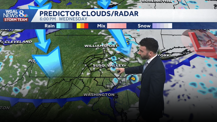
Showers have moved out & skies are beginning to clear this afternoon. As a cold front arrives later today, an isolated shower is possible. Expect light winds and seasonable highs in the upper 60s to near 70 degrees.
Tonight, lows will fall to 50 under mostly clear skies. Much warmer than the 20s we had just a few days ago!
Thursday will be the warmest day of the week, as highs reach the upper 70s. Look for plentiful sunshine and a light northwesterly breeze.
A warm front will move into western Pennsylvania Friday. A few showers are possible under partly to mostly cloudy skies. Temperatures will be cooler due to the clouds, near 70 degrees.
Widespread light rain is likely Saturday, as low pressure crosses the state. Highs will be cooler, in the mid-to-upper 50s.
Sunday will be the drier half of the weekend. Look for gradual clearing and milder highs in the low 60s.
We’ll have dry weather to start the workweek, with seasonable highs in the mid-60s. As a cold front approaches Tuesday, widespread rain is likely. Highs will cool to 60 degrees.
A few showers are possible Wednesday through Friday. Temperatures will remain steady in the low-to-mid 60s, and lows will fall to the upper 40s.
Have a great Wednesday!
~ Ryan