
SHORT TERM FORECAST
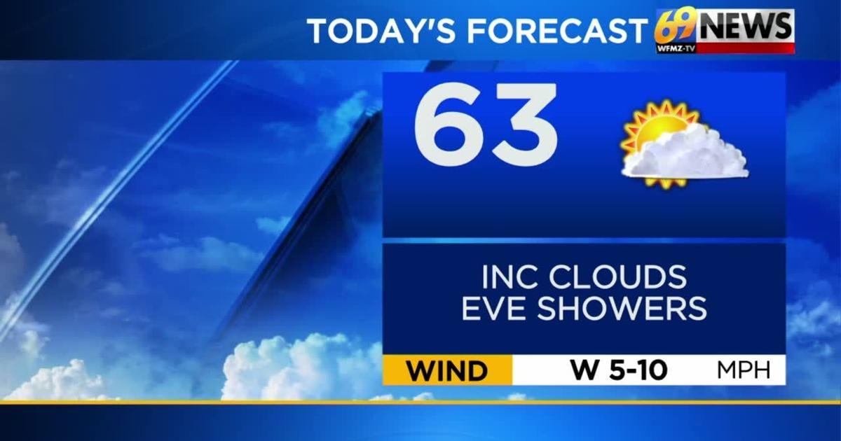
FRIDAY: Sun mixing with clouds. A late-afternoon shower is possible north and west. High: 63
FRIDAY NIGHT: An early shower; otherwise, mostly cloudy. Low: 43
SATURDAY: Mostly cloudy. Stray evening shower. Cool. High: 60
FORECAST SUMMARY
Welcome to May! We are starting the month on a cooler note with daytime highs into the weekend stuck around the 60-degree mark. It also isn’t completely quiet as we have spotty shower chances for later this afternoon and Saturday evening. If you do catch a shower, it will be quick and on the lighter side. Temperatures will rebound next week where we could even touch upon the mid to upper 70’s again.
DETAILED FORECAST
FRIDAY
For Friday we’ll see morning sunshine mix with increasing clouds that bubble up in the afternoon. While much of the day should remain dry, a spotty shower can’t be entirely ruled out late in the afternoon for areas north and west of the Lehigh Valley. High temperatures Friday should be slightly below normal in the low to mid 60s. Then, a slightly better chance for a few more showers will cross the region for Friday evening as another weak upper level disturbance crosses the region. Right now though, rainfall totals don’t look to be any more than a tenth of an inch in most cases. Showers should be done by midnight or shortly there-past Friday night, and we’ll see skies clear a little overnight as low temperatures dip down close to 40 degrees once more.
THIS WEEKEND
The first weekend of May certainly looks quite cool for this time of year, as daytime highs will only be around 60 degrees Saturday and the upper 50s Sunday (our average high in early May is around 70 degrees). Nighttime lows will again drop into the upper 30s to around 40 degrees for most, but there could be slightly colder values for parts of the Poconos which would likely be the only area we’d have to watch for some frost concerns. Weather-wise, expect mostly cloudy skies Saturday into Saturday night, then a little more sunshine on Sunday. A low pressure system well off the Mid-Atlantic coast may brush the coastal areas with some rain later Saturday into Saturday night, but most of this is expected to stay along and southeast of the Interstate 95 corridor. Winds will be lighter on Saturday, but kick up again and be a little breezy on Sunday adding an extra chill to the air.
EARLY NEXT WEEK
The weekend chill will ease, but could be back by Mother’s Day weekend. However, we should see a nice warmup for the first half of next week with largely dry conditions until Wednesday. Monday looks dry with highs climbing back into the mid and upper 60s under partly sunny skies. Sun and clouds can be expected Tuesday with only the slightest of chances of a stray shower mainly late and at night. Highs Tuesday should climb into the mid and upper 70s. By Wednesday, things get cloudier with an increasing chance for some measurable rain as a cold front moves in from our west. There are timing differences on the arrival of that rain with the forecast model guidance right now, but if the rain holds off long enough during the day, high temperatures may still manage to get to at least 70 degrees Wednesday. Cooler weather will no doubt return in the wake of Wednesday’s front leading us up to Mother’s Day weekend.
TRACK THE WEATHER:
LINKS: HOUR BY HOUR | RADAR | TRAFFIC