
SHORT TERM FORECAST
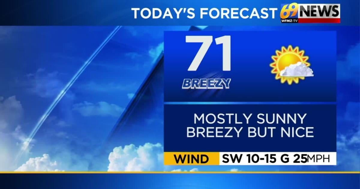
MONDAY: Mostly sunny and breezy but warmer in the afternoon. High: 71
MONDAY NIGHT: Mainly clear and milder with lighter winds. Low: 53
TUESDAY: Partly cloudy. Breezy. Isolated PM shower. Warm. High: 81
FORECAST SUMMARY
Warming up as we start our work week. We will have temperatures right around average for the day with ample sunshine. Tomorrow, we move up even further with highs approaching and possibly even exceeding that 80-degree mark. An isolated shower chance has the potential to make it in by Tuesday afternoon, but that more widespread and gloomy weather will take hold on Wednesday. We will also take a temperature tumble back into the lower 60’s by mid-week.
DETAILED FORECAST
MONDAY AND TUESDAY
High pressure will strengthen and move off the East Coast to start the new week leading to a southwest wind flow. These winds may gust to around 30 mph between Monday and Tuesday, but more importantly, that wind flow will also aid in really warming our temperatures up. By Monday afternoon, things should feel much more seasonable and tolerable to be outside with highs expected to top out around or just above 70 degrees. We’ll be mainly clear for Monday night with briefly lightening winds, but now low temperatures don’t drop off as much as the lows only dip into the low 50s. Then Tuesday the real warming unfolds as many of us climb to around 80 degrees by the afternoon. We haven’t seen the 80s since the middle of April! A cold front to our west is slowly but surely going to get a little closer on Tuesday, but the bulk of any rainfall with the boundary should remain away to our west at this point. There could be a stray shower or thunderstorm later in the day Tuesday north and west of the Lehigh Valley, but the bulk of the region should remain dry.
WEDNESDAY AND THURSDAY
By Wednesday, things get cloudier with an increasing chance for some measurable rain as that aforementioned cold front moves in from our west. We can expect multiple rounds of showers to track through during the day Wednesday, with a thunderstorm or two not even out of the question as well. At this time however, no real severe weather is expected, just some general downpours. With the clouds and wet weather anticipated Wednesday, high temperatures will drop to cooler levels back in the upper 60s. There may be a brief lull in some of the rain Wednesday night into Thursday morning, but our frontal boundary will remain close by, and a wave of low pressure coming up from our south along the front may fill the radar back in with some showers as we get into Thursday afternoon and evening. We’ll be on the backside of the cold front at this point, and our wind direction will change to the northwest. This will usher back in some much cooler air across the region for Thursday with highs dropping back to the upper 50s to around 60 degrees. As for rainfall totals between Wednesday and Thursday it continues to look like much of the region can expect either side of one inch which will definitely be beneficial given the drought situation.
FRIDAY AND MOTHER’S DAY WEEKEND
Our midweek cold front should be well offshore by Friday allowing a much drier air mass to settle back into the region. Friday should be largely dry (just a small chance of an isolated shower north and west) with more sunshine returning, but it will be brisk and cool as high temperatures only reach the lower 60s and low temperatures dip well back down into the 40s. An early look at Mother’s Day weekend shows a slight chance for some showers and somewhat cloudy skies Saturday with highs in the low to mid 60s. Mother’s Day Sunday for now looks largely dry with partly sunny skies, not too much of a breeze, and slightly warmer high temperatures in the mid 60s. Recent years have not been kind to mom when it comes to the weather so our early forecast wouldn’t be too bad if it indeed pans out that way. We’ll keep our fingers crossed!
TRACK THE WEATHER:
LINKS: HOUR BY HOUR | RADAR | TRAFFIC