
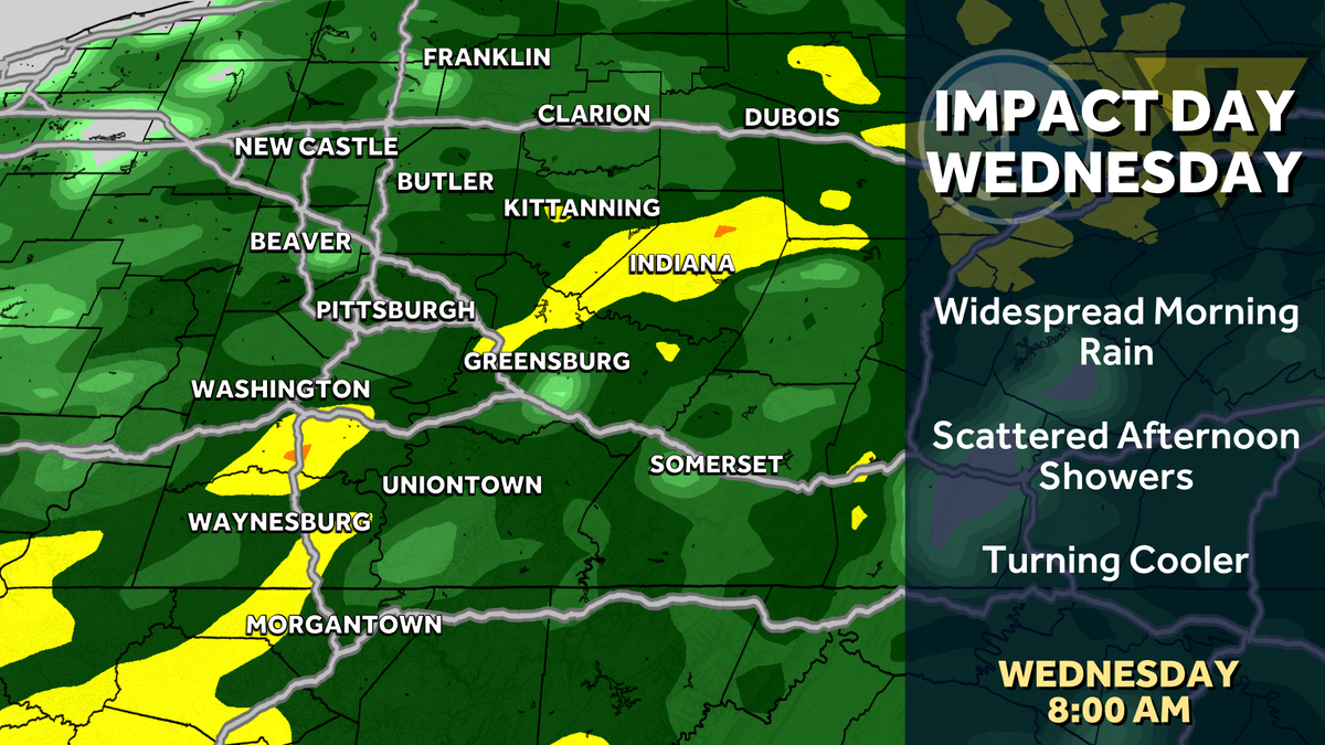
Shower chances return Tuesday before trending wetter on Wednesday, which is an Impact Day. Temperatures will cool off again late week.A few showers TuesdayIncreasing clouds tonight will lead to isolated showers Tuesday morning. A few more showers plus a rumble of thunder will develop late-day.Impact Day Wednesday for periods of rainWednesday begins with widespread rain. We will watch the coverage of the rain ease after the morning commute. Scattered showers will continue through the afternoon. Rain chances will extend through Thursday; however, it won’t be a washout. Rainfall totals through Wednesday evening look to generally be a half an inch.Cooling down againOnce the mid-week boundary departs, cooler temperatures will return late this week. High temperatures will only settle for the 50s Thursday and lower 60s on Friday. The cooler than normal air will linger through Mother’s Day weekend with a couple of showers possible.TONIGHT: Increasing clouds and staying mild. Low: 60°.TUESDAY: Isolated morning shower, mostly cloudy afternoon. More showers with an isolated storm late. High: 76°, low: 55°.WEDNESDAY – Impact Day: Periods of rain. Cooler. High: 62°, low: 44°.THURSDAY: Mostly cloudy. High: 58°, low: 40°.
PITTSBURGH —
Shower chances return Tuesday before trending wetter on Wednesday, which is an Impact Day. Temperatures will cool off again late week.
A few showers Tuesday
Increasing clouds tonight will lead to isolated showers Tuesday morning. A few more showers plus a rumble of thunder will develop late-day.
Impact Day Wednesday for periods of rain
Wednesday begins with widespread rain. We will watch the coverage of the rain ease after the morning commute. Scattered showers will continue through the afternoon. Rain chances will extend through Thursday; however, it won’t be a washout. Rainfall totals through Wednesday evening look to generally be a half an inch.
Hearst OwnedHearst
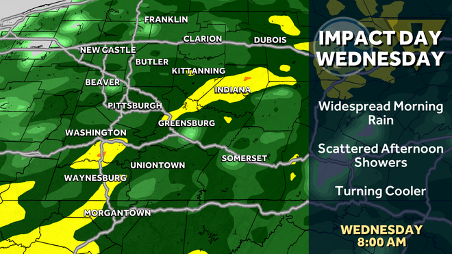
Widespread rain for Wednesday morning, prompt an Impact Day. Scattered showers will continue through the second half of the day.
Cooling down again
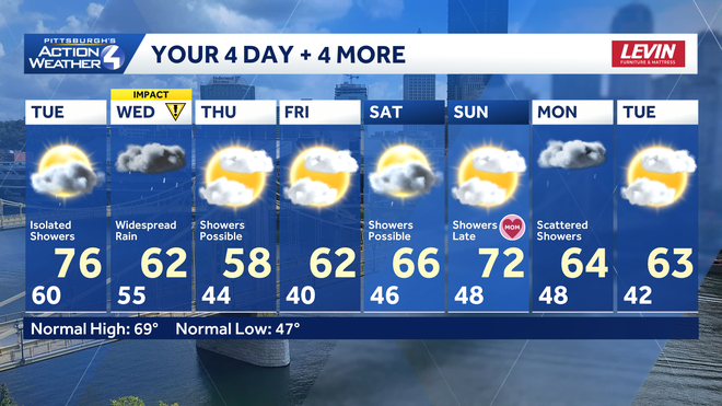
Once the mid-week boundary departs, cooler temperatures will return late this week. High temperatures will only settle for the 50s Thursday and lower 60s on Friday. The cooler than normal air will linger through Mother’s Day weekend with a couple of showers possible.
Hearst Owned
Temperatures trend cooler after Wednesday’s Impact Day. Mother’s Day looks seasonal with some showers late.
TONIGHT: Increasing clouds and staying mild. Low: 60°.
TUESDAY: Isolated morning shower, mostly cloudy afternoon. More showers with an isolated storm late. High: 76°, low: 55°.
WEDNESDAY – Impact Day: Periods of rain. Cooler. High: 62°, low: 44°.
THURSDAY: Mostly cloudy. High: 58°, low: 40°.