
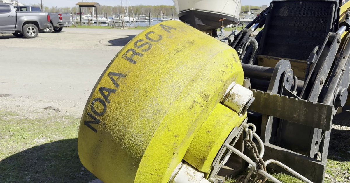

The Regional Science Consortium has officially launched its seasonal buoy network on Lake Erie, marking the start of another summer of environmental monitoring and data collection.
Crews spent the morning preparing and loading four buoys before transporting them out onto the lake and placing them at designated locations. The process of deploying each buoy is carefully coordinated, with officials noting it typically takes between four and five hours to position and secure the equipment for the season.
Once in place, the buoys will serve as floating monitoring stations, collecting real-time data on a range of lake conditions. This includes water temperature, weather patterns, and wave activity which is critical information for researchers, boaters, and anyone with an interest in Lake Erie’s conditions.
The data gathered plays an important role in understanding changes in the lake’s ecosystem, as well as improving safety and awareness for those who use the water throughout the summer months.
The buoy network will remain active through the fall season, continuously transmitting information that is accessible to the public. Residents and visitors can view the data online or through the program’s mobile app, offering an up-to-date look at conditions across Lake Erie.
With the buoys now in position, the Regional Science Consortium is set to provide valuable insights into the lake throughout the busy summer season.