
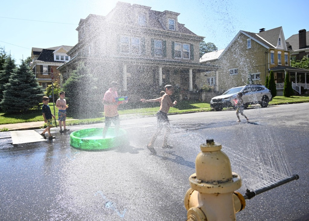
After a stretch of cool weather, the Lehigh Valley is set to face its first heat wave of the year.
Things will already begin to warm up Saturday, with a high of around 80 expected. Temperatures will then approach highs near and above 90 degrees starting Sunday, according to the National Weather Service.
A Bermuda high pressure over the western Atlantic Ocean will lead to an “increasingly hot and humid air mass” moving into the region, forecasters said.
During the heat wave, conditions will be mostly clear, with no rain expected, according to the weather service forecast.
The heat is expected to break Wednesday afternoon and evening. Showers are likely as the region transitions away from the summer-like highs.
By Thursday, a more seasonable high temperature in the low 70s is expected. That will still be warmer than the past week, when highs struggled to make it out of the 60s.
Here’s the extended forecast from the weather service:
Saturday: Sunny, with a high near 81. Southwest wind 5 to 10 mph, with gusts as high as 20 mph.
Saturday night: A chance of sprinkles with a slight chance of showers between 4 a.m. and 5 a.m., then a slight chance of showers after 5 a.m. Increasing clouds, with a low around 62. Southwest wind around 5 mph. Chance of precipitation is 20%.
Sunday: Mostly sunny, with a high near 87. West wind around 5 mph.
Sunday Night: Mostly clear, with a low around 61. Calm wind.
Monday: Sunny, with a high near 90. Calm wind becoming south around 5 mph in the afternoon.
Monday Night: Mostly clear, with a low around 68.
Tuesday: Sunny, with a high near 93.
Tuesday Night: Partly cloudy, with a low around 70.
Wednesday: Showers likely after 2 p.m. Mostly sunny, with a high near 92. Chance of precipitation is 60%.
Wednesday Night: Showers likely, mainly before 8 p.m. Mostly cloudy, with a low around 59. Chance of precipitation is 60%.
Thursday: Partly sunny, with a high near 74.
Thursday Night: Partly cloudy, with a low around 51.
Friday: Partly sunny, with a high near 70.