
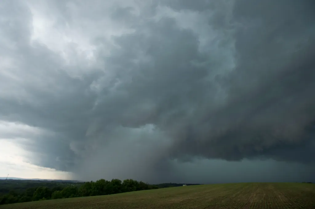
There is a slight risk of storms that could bring wind gusts and hail Saturday to the Lehigh Valley.
There is a possibility of storms between 5 p.m. and midnight, according to the National Weather Service in Mount Holly, New Jersey. Forecasters said damaging winds are the primary threat of any storm that comes through.
Forecasters said storms will likely move through no earlier than 5 or 6 p.m. over the Lehigh Valley and southern Poconos. The storms will likely push through the Interstate 95 corridor between 8 and 11 p.m., the weather service said.
Only about a tenth of an inch of rainfall is expected from any storms that come to the area.
Sunday should be clear, with highs in the 80s. Rain is possible again Wednesday through Friday.
Another hot one today with highs in the upper 80s/low 90s. We are expecting some showers and thunderstorms to move in this evening. A few storms will be capable of producing damaging wind gusts, especially for areas along and north/west of the I-95 corridor. Stay safe! pic.twitter.com/oycp1oNz8G
— NWS Mount Holly (@NWS_MountHolly) June 6, 2026
Here is the extended forecast from the National Weather Service:
Sunday: Patchy fog before 7 a.m. Otherwise, sunny, with a high near 88. Northwest wind 5 to 10 mph, with gusts as high as 20 mph.
Monday: Sunny, with a high near 85. Northeast wind around 5 mph becoming calm in the morning.
Tuesday: Sunny, with a high near 90.
Wednesday: A chance of showers after 2 p.m. Mostly sunny, with a high near 90. Chance of precipitation is 30%.
Thursday: A chance of showers. Partly sunny, with a high near 92. Chance of precipitation is 40%.
Friday: A chance of showers and thunderstorms. Mostly sunny, with a high near 94. Chance of precipitation is 30%.